Old Maps of Pipe Creek Mill, Maryland for Hiking & Exploration
Hike through history with 16 historic maps of Pipe Creek Mill. Explore old trails, ghost towns, and forgotten backroads — perfect for outdoor adventurers and local explorers.
- Rediscover forgotten places: Map out old mining camps, roads, and footpaths that no longer exist on modern maps.
- Layer with modern tools: Combine with LiDAR or satellite views to plan hikes through historical terrain.
- Made for exploration: Popular among hikers, overlanders, and local history lovers.
Use these maps to find adventure and explore the hidden past of Pipe Creek Mill.
Pipe Creek Mill, MD maps
(16)- 1911 Map of Taneytown
 1911 Taneytown1911 Print · USGSCarroll County and the Maryland-Pennsylvania borderlands are captured here just after the turn of the century, showing a network of rail-linked towns and water-powered mills. Trace local history through Taneytown, Union Mills, and Pipe Creek Church, or find early school sites like Centennial Hall School.6 unique versions available
 - 1942 Map of Gettysburg, 1944 Print
 1942 Gettysburg1944 Print · USGSGettysburg and its surrounding borderlands are shown in great detail during the early 1940s, capturing the region's dense network of rural schools and mills. Genealogists can trace family-named landmarks such as Galt Kump PO, Hafers Mill, and Philips Delight Sch.
 - 1944 Map of Littlestown
 1944 Littlestown1944 Print · USGSThe Pennsylvania and Maryland borderlands are captured here in the mid-1940s, revealing a landscape of rural schoolhouses and industrial milling. Genealogists and researchers can locate family sites near Menges Mill, Cherrytown, and Oak Grove School.2 unique versions available
 - 1948 Map of Baltimore
 1948 Baltimore1948 Print · USGSMaryland and Pennsylvania crossroads are captured in the late 1940s, showing a landscape defined by historic rail lines and major military installations. Genealogists can trace family connections in Gettysburg, Westminster, and near the U.S. Naval Academy in Annapolis.2 unique versions available
 - 1953 Map of Littlestown, 1954 Print
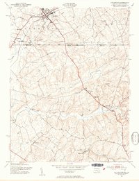 1953 Littlestown1954 Print · USGSThe Mason and Dixon Line bisects this borderland region in the 1950s, where Pennsylvania's Adams County meets Maryland's Carroll County. Genealogists and historians can trace the early industrial footprint of the creeks via Menges Mill, Pipe Creek Mill, and the settlement at Union Mills.6 unique versions available
 - 1954 Map of Baltimore
 1954 Baltimore1954 Print · USGSThe Mid-Atlantic region in the early fifties shows a landscape of growing suburban centers and heavy rail corridors. Trace mid-century transit networks and military landmarks from the Aberdeen Proving Ground to the Gettysburg National Military Park.
 - 1956 Map of Baltimore
 1956 Baltimore1956 Print · USGSMid-century Maryland and Pennsylvania are captured here during a period of massive suburban and military growth across the Chesapeake region. Genealogists and historians can trace the rail corridors of the Baltimore & Ohio RR and locate landmarks like Fort McHenry or the Aberdeen Proving Ground.
 - 1957 Map of Baltimore, 1964 Print
 1957 Baltimore1964 Print · USGSMaryland and Southern Pennsylvania are shown during the mid-century expansion of the Baltimore-Washington corridor. Researchers can trace the extensive rail lines of the Baltimore & Ohio RR and locate sites like Fort Detrick and Gettysburg National Military Park.5 unique versions available
 - 1961 Map of Baltimore
 1961 Baltimore1961 Print · USGSMaryland and Pennsylvania are captured at a mid-century peak of industrial and military expansion. Genealogists and historians can trace rail corridors like the Western Maryland Ry or locate regional landmarks such as Camp Detrick and Kent Island.
 - 1983 Map of Hagerstown, 1984 Print
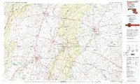 1983 Hagerstown1984 Print · USGSThe tri-state borderlands of Maryland, Pennsylvania, and West Virginia are shown in the early eighties as a hub of military installations and valley towns. Genealogists and historians can trace the landscape from Gettysburg National Military Park to the banks of the Potomac River.2 unique versions available
 - 1989 Map of Baltimore
 1989 Baltimore1989 Print · USGSThe Mid-Atlantic corridor in the late eighties is captured here, from the Baltimore harbor to the Blue Ridge foothills. Researchers can trace the sprawling footprints of Aberdeen Proving Ground, the historic grounds of Gettysburg National Military Park, and the winding Susquehanna River.
 - 2011 Map of Littlestown, 2011 Print
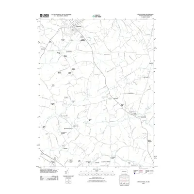 2011 Littlestown2011 Print · USGSThe Pennsylvania-Maryland border country comes into focus in this early 21st-century study of the rolling hills surrounding Littlestown. Researchers can trace old family sites and rural industries through landmarks like Menges Mill, Union Mills, and Saint Marys Cemetery.
 - 2013 Map of Littlestown, 2013 Print
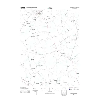 2013 Littlestown2013 Print · USGSThe Pennsylvania-Maryland border country south of Gettysburg comes alive on this map, showing the dense network of crossroads and creeks in the early twenty-first century. Genealogists and local historians can trace the legacy of local industry at Union Mills, Menges Mill, and the quiet reaches of Big Pipe Cr.
 - 2016 Map of Littlestown, 2016 Print
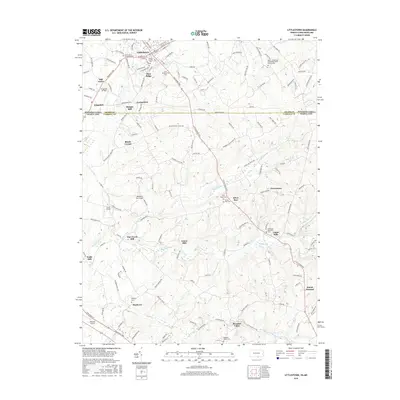 2016 Littlestown2016 Print · USGSThe Mason-Dixon line bisects this borderland landscape during the early twenty-first century, revealing a rural network of historic mills and parish cemeteries. Genealogists and local historians can trace legacy sites like Union Mills, Saint Marys Cemetery, and Wolfs Mill.
 - 2019 Map of Littlestown, 2019 Print
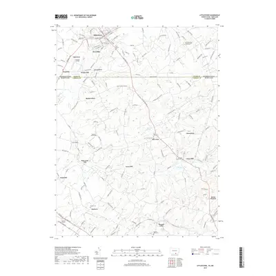 2019 Littlestown2019 Print · USGSThe Mason-Dixon Line runs through this landscape south of the 18th-century settlement of Littlestown. Local researchers can trace a legacy of water-powered industry at Wolfs Mill or locate family burial sites at Saint Marys Cem and Mayberry Cem.
 - 2023 Map of Littlestown, 2023 Print
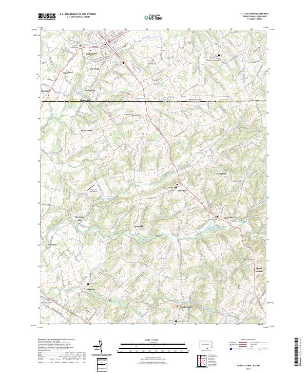 2023 Littlestown2023 Print · USGSThe Pennsylvania and Maryland borderlands come alive in this modern survey of the rural landscape between Adams and Carroll counties. Genealogists and historians can trace family roots through numerous sites like Saint John's Lutheran Cem, the industrial legacy of Arters Mill, and the quiet crossroads of Silver Run.
End of results
Showing maps 1-16 of 16
Top cities near Pipe Creek Mill
- Westminster historical maps
- Hanover historical maps
- Parkville historical maps
- Gettysburg historical maps
- West Manheim Township historical maps
- Taneytown historical maps
See more
Frequently asked questions
- What are the different types of historical maps available for Pipe Creek Mill?
- What is the oldest map of Pipe Creek Mill?
- Where can I purchase historical maps of Pipe Creek Mill for my home or office?
- Where can I download high-res historical maps of Pipe Creek Mill?
- Are there historical topographic maps available for Pipe Creek Mill?
- Is there historical aerial imagery available for Pipe Creek Mill?
- Where are historical maps of Pipe Creek Mill sourced from?