Old Maps of Sykesville, Maryland for Academic Research
Study the evolution of Sykesville with 26 high-resolution historic maps. Whether you're teaching, researching, or modeling changes in land use, these maps provide essential visual documentation of urban, environmental, and geographic change.
- Analyze long-term change: Track patterns in development, transportation, and natural features.
- Ideal for environmental or urban studies: Support academic projects with primary historical map data.
- Use in the classroom or lab: Educators and researchers rely on these maps to bring historical context to life.
These maps are a powerful tool for teaching, research, and visualizing how Sykesville has changed over the decades.
Sykesville, MD maps
(26)- 1892 Map of Ellicott
 1892 Ellicott1892 Print · USGSMaryland's rolling Piedmont is mapped here at the end of the nineteenth century, showing a landscape defined by industrial granite quarries and emerging rail corridors. Researchers can trace ancestral roots through dozens of named settlements such as Owings Mills and Randallstown, or locate historic sites like St. Charles College and Shock Mill.
 - 1894 Map of Ellicott
 1894 Ellicott1894 Print · USGSThe Maryland interior at the end of the nineteenth century reveals a landscape defined by the Patapsco River and a growing rail network. Genealogists and historians can trace family roots through settlements like Reisterstown, landmarks like St. Charles College, and industry at the Quarries near Granite.3 unique versions available
 - 1906 Map of Ellicott
 1906 Ellicott1906 Print · USGSCentral Maryland at the turn of the century shows a landscape of institutional growth and heavy rail development. Trace family roots and local history through Reisterstown, the grounds of St Charles College, and Owings Mills.6 unique versions available
 - 1908 Map of Patapsco
 1908 Patapsco1908 Print · USGSMaryland's central corridor at the opening of the twentieth century reveals a dense network of harbor defenses and rail-line economies. Genealogists and historians can trace the foundations of Baltimore alongside local landmarks like Ashland Furnace, St Charles College, and Fort McHenry.4 unique versions available
 - 1944 Map of Sykesville
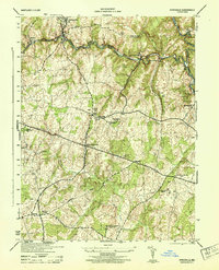 1944 Sykesville1944 Print · USGSMid-century Carroll and Howard counties are captured here just as the rural estate and railroad economies were evolving. Genealogists and historians can trace family locations near Doughoregan Manor, local burials at Mountain View Cemetery, or old rail stops at Gaither and Henryton.
 - 1944 Map of Finksburg
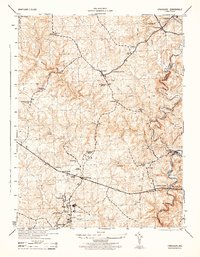 1944 Finksburg1944 Print · USGSCarroll County agriculture and industry meet along the Patapsco River during the mid-1940s. Genealogists and local historians can trace family-named landmarks and institutions like Springfield State Hospital, Sykesville, and Comet Roller Mills.2 unique versions available
 - 1948 Map of Baltimore
 1948 Baltimore1948 Print · USGSMaryland and Pennsylvania crossroads are captured in the late 1940s, showing a landscape defined by historic rail lines and major military installations. Genealogists can trace family connections in Gettysburg, Westminster, and near the U.S. Naval Academy in Annapolis.2 unique versions available
 - 1953 Map of Sykesville, 1954 Print
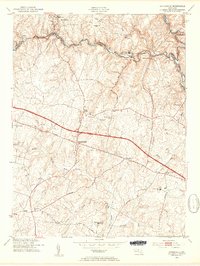 1953 Sykesville1954 Print · USGSIn the mid-fifties, the Patapsco River valley served as a busy corridor for the Baltimore and Ohio railroad and the Henryton State Hospital. Researchers can trace old homesteads and landmarks like Doughoregan Manor and Mountain View Cemetery along the National Pike.5 unique versions available
 - 1953 Map of Finksburg, 1955 Print
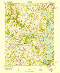 1953 Finksburg1955 Print · USGSSoutheastern Carroll County is captured here in the early fifties as the rising waters of Liberty Lake reshaped the Patapsco valley. Researchers can trace the legacy of local institutions like the Springfield State Hospital and Strawbridge Home for Boys.5 unique versions available
 - 1954 Map of Baltimore
 1954 Baltimore1954 Print · USGSThe Mid-Atlantic region in the early fifties shows a landscape of growing suburban centers and heavy rail corridors. Trace mid-century transit networks and military landmarks from the Aberdeen Proving Ground to the Gettysburg National Military Park.
 - 1956 Map of Baltimore
 1956 Baltimore1956 Print · USGSMid-century Maryland and Pennsylvania are captured here during a period of massive suburban and military growth across the Chesapeake region. Genealogists and historians can trace the rail corridors of the Baltimore & Ohio RR and locate landmarks like Fort McHenry or the Aberdeen Proving Ground.
 - 1957 Map of Baltimore, 1964 Print
 1957 Baltimore1964 Print · USGSMaryland and Southern Pennsylvania are shown during the mid-century expansion of the Baltimore-Washington corridor. Researchers can trace the extensive rail lines of the Baltimore & Ohio RR and locate sites like Fort Detrick and Gettysburg National Military Park.5 unique versions available
 - 1961 Map of Baltimore
 1961 Baltimore1961 Print · USGSMaryland and Pennsylvania are captured at a mid-century peak of industrial and military expansion. Genealogists and historians can trace rail corridors like the Western Maryland Ry or locate regional landmarks such as Camp Detrick and Kent Island.
 - 1981 Map of Sykesville, 1986 Print
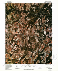 1981 Sykesville1986 Print · USGSMaryland's changing rural landscape is captured in the early eighties as agricultural fields and suburban expansion meet. Researchers can trace land use and property boundaries around Sykesville and the forks of the Little Patuxent River.
 - 1984 Map of Baltimore
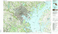 1984 Baltimore1984 Print · USGSThe Baltimore and Annapolis corridor in the mid-eighties shows a landscape of rapid suburban growth and deep-seated maritime history. Researchers can trace the massive footprints of the U S Naval Academy, Fort George G Meade, and Goddard Space Flight Ctr.
 - 1989 Map of Baltimore
 1989 Baltimore1989 Print · USGSThe Mid-Atlantic corridor in the late eighties is captured here, from the Baltimore harbor to the Blue Ridge foothills. Researchers can trace the sprawling footprints of Aberdeen Proving Ground, the historic grounds of Gettysburg National Military Park, and the winding Susquehanna River.
 - 2011 Map of Finksburg, 2011 Print
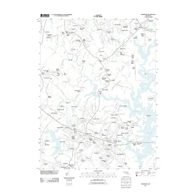 2011 Finksburg2011 Print · USGSMaryland's Piedmont reveals a landscape of massive reservoirs and institutional history in the years before the recent census. Researchers can trace family sites at Wesley-Freedom Cemetery, locate the Finksburg Post Office, or map the sprawling Springfield State Hospital.
 - 2011 Map of Sykesville, 2011 Print
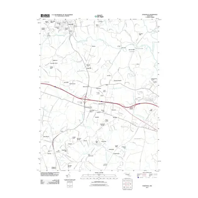 2011 Sykesville2011 Print · USGSMaryland's rolling piedmont near the turn of the decade shows a landscape of growing residential hubs and persistent rural roots. Genealogists and local historians can trace old property lines and community centers at Sykesville, Piccirilli Quarries, and Springfield Cemetery.
 - 2014 Map of Sykesville, 2014 Print
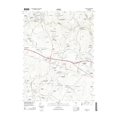 2014 Sykesville2014 Print · USGSSykesville and the Patapsco River valley are captured in this early twenty-first-century survey during a period of significant suburban growth. Researchers can locate local landmarks like Springfield Cem, the community of Marriottsville, and the drainage of the Middle Patuxent River.
 - 2014 Map of Finksburg, 2014 Print
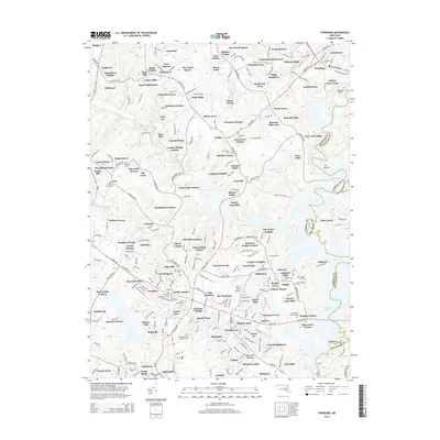 2014 Finksburg2014 Print · USGSCarroll County's transition from rural farmland to a suburban residential hub is fully realized in this early 21st-century survey of the Finksburg and Eldersburg area. Researchers can locate numerous local burial grounds and established estates, from Springfield State Hospital Cem to the neighborhoods of Linton Springs and My Ladies Manor.
 - 2016 Map of Finksburg, 2016 Print
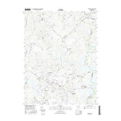 2016 Finksburg2016 Print · USGSCarroll County’s rolling hills and the sprawling waters of Liberty Lake characterize this region during the mid-2010s. Genealogists and local historians can trace dozens of family and institutional sites, from the Springfield State Hospital Cem to the Wesley Freedom Cem.
 - 2016 Map of Sykesville, 2016 Print
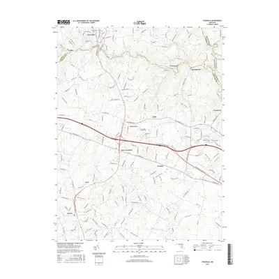 2016 Sykesville2016 Print · USGSThe Howard and Carroll County borders near the turn of the twenty-first century show a landscape shaped by river valleys and historic turnpikes. Researchers can locate several burial grounds like Springfield Cem and Crestlawn Cem or trace the early paths of Frederick Rd.
 - 2019 Map of Finksburg, 2019 Print
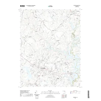 2019 Finksburg2019 Print · USGSSoutheast Carroll County comes into focus in this recent survey, where the sprawling fingers of Liberty Lake meet established towns. Genealogists and researchers can trace local roots through numerous sites like Springfield State Hospital Cem and Harmony Grove Cem.
 - 2019 Map of Sykesville, 2019 Print
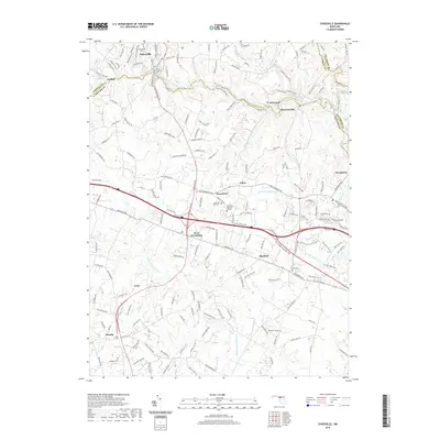 2019 Sykesville2019 Print · USGSThe river valleys of central Maryland are captured here during the late 2010s, showing the meeting point of Carroll and Howard counties. Researchers can trace family sites at Springfield Cem or locate the historic crossings near Marriottsville and Sykesville.
 - 2023 Map of Sykesville, 2023 Print
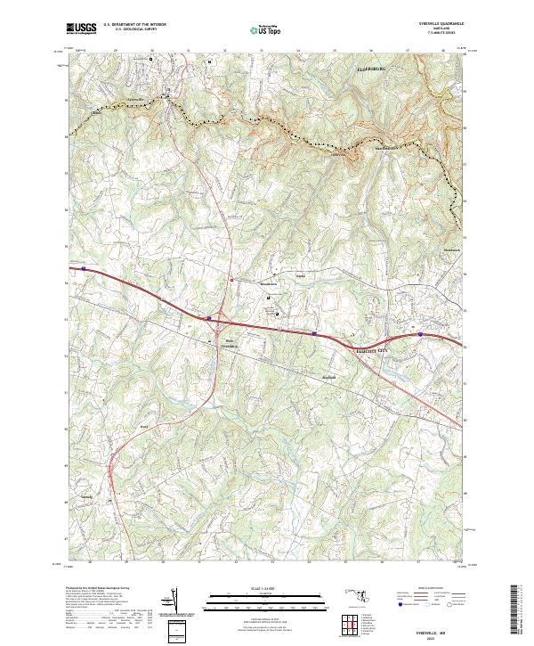 2023 Sykesville2023 Print · USGSMaryland's Piedmont region comes into focus in this contemporary survey of the Sykesville and Ellicott City area. Genealogists and researchers can trace local family landmarks and burial sites like Springfield Cem and Mountain View Cem alongside the historic Old Frederick Rd.
Showing maps 1-25 of 26
Top cities near Sykesville
- Columbia historical maps
- Gaithersburg historical maps
- Ellicott City historical maps
- Randallstown historical maps
- Owings Mills historical maps
- Olney historical maps
See more
Top neighborhoods of Sykesville
- Lexington Run historical maps
- Shannon Run historical maps
- Carroll Fields historical maps
- Hawk Ridge historical maps
Frequently asked questions
- What are the different types of historical maps available for Sykesville?
- What is the oldest map of Sykesville?
- Where can I purchase historical maps of Sykesville for my home or office?
- Where can I download high-res historical maps of Sykesville?
- Are there historical topographic maps available for Sykesville?
- Is there historical aerial imagery available for Sykesville?
- Where are historical maps of Sykesville sourced from?