2000s (21st Century) Maps of Andora, Maryland
Explore 5 historic maps of Andora from the 2000s (21st Century). These maps offer a rare glimpse into what life looked like during the 2000s — showing old roads, neighborhoods, homes, and landmarks that have changed or disappeared over time.
Whether you're researching your family's past, planning a metal detecting trip, or studying how Andora's landscape evolved across the 2000s, these high-resolution maps are a powerful tool for exploring the history of this region.
- Focus on a specific era: All maps on this page are from the 2000s, giving you a focused view of this time period.
- See what’s changed: Compare century-old streets, trails, and buildings to today's modern landscape using overlays and satellite layers.
- Research with precision: Use these maps for genealogy, historical research, land use analysis, or educational projects.
- View, download, or print: Maps are fully viewable online in high resolution, and can be downloaded or printed for your own records.
Start exploring Andora's history through authentic maps from the 2000s. This is your window into the past.
Andora, MD maps
(5)- 2011 Map of Newark West, 2011 Print
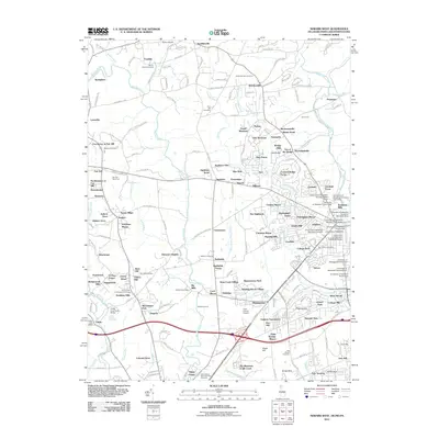 2011 Newark West2011 Print · USGSCovers Andora, including Newark, Elkton, and other nearby areas
 - 2014 Map of Newark West, 2014 Print
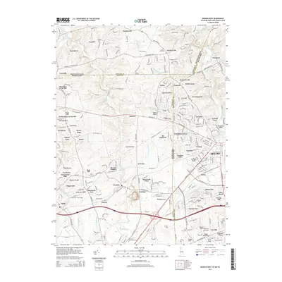 2014 Newark West2014 Print · USGSCovers Andora, including Newark, Elkton, and other nearby areas
 - 2016 Map of Newark West, 2016 Print
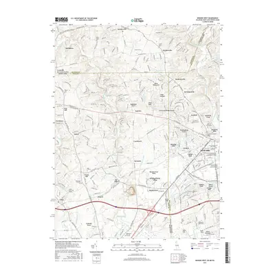 2016 Newark West2016 Print · USGSCovers Andora, including Newark, Elkton, and other nearby areas
 - 2019 Map of Newark West, 2019 Print
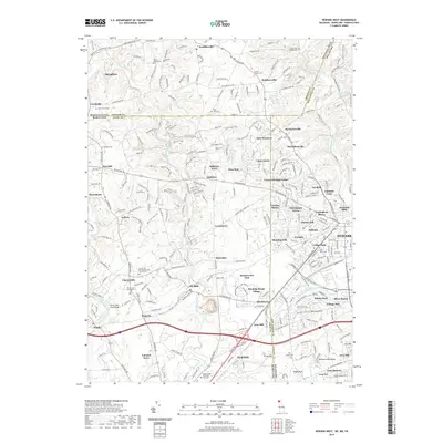 2019 Newark West2019 Print · USGSCovers Andora, including Newark, Elkton, and other nearby areas
 - 2023 Map of Newark West, 2023 Print
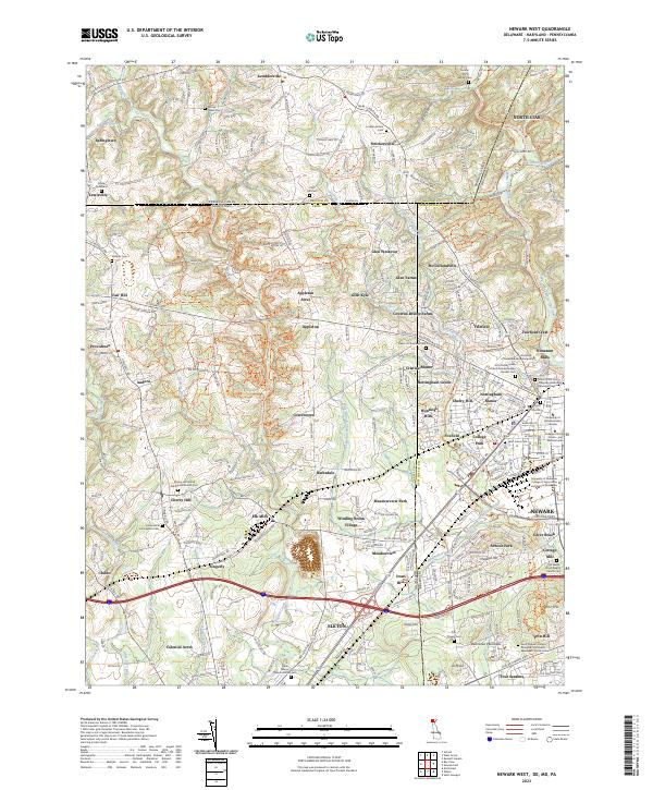 2023 Newark West2023 Print · USGSThe tri-state border region of Delaware, Maryland, and Pennsylvania is documented here in the early twenty-first century as it balances academic expansion and deep colonial history. Researchers can trace ancestral sites at the Old Welsh Tract Baptist Church Cem or explore the industrial roots of Elk Mills and Nonatum Mills.
End of results
Showing maps 1-5 of 5
Top cities near Andora
- Newark historical maps
- Elkton historical maps
- Hockessin historical maps
- Havre de Grace historical maps
- New Garden Township historical maps
- Middletown historical maps
See more
Frequently asked questions
- What are the different types of historical maps available for Andora?
- What is the oldest map of Andora?
- Where can I purchase historical maps of Andora for my home or office?
- Where can I download high-res historical maps of Andora?
- Are there historical topographic maps available for Andora?
- Is there historical aerial imagery available for Andora?
- Where are historical maps of Andora sourced from?