Old Maps of Bradbury Heights, Prince George's County for Hiking & Exploration
Hike through history with 15 historic maps of Bradbury Heights. Explore old trails, ghost towns, and forgotten backroads — perfect for outdoor adventurers and local explorers.
- Rediscover forgotten places: Map out old mining camps, roads, and footpaths that no longer exist on modern maps.
- Layer with modern tools: Combine with LiDAR or satellite views to plan hikes through historical terrain.
- Made for exploration: Popular among hikers, overlanders, and local history lovers.
Use these maps to find adventure and explore the hidden past of Bradbury Heights.
Bradbury Heights, Prince George's County maps
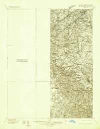
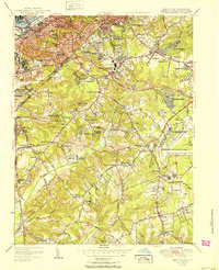
(15)- 1899 Map of Patuxent
 1899 Patuxent1899 Print · USGSCovers Bradbury Heights, including Washington, Waldorf, and other nearby areas3 unique versions available
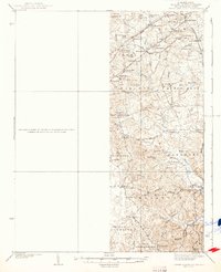
 - 1900 Map of Washington
 1900 Washington1900 Print · USGSCovers Bradbury Heights, including Washington, Arlington, and other nearby areas2 unique versions available
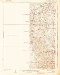
 - 1906 Map of Patuxent
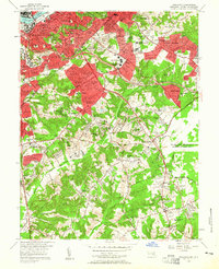
 1906 Patuxent1906 Print · USGSCovers Bradbury Heights, including Washington, Waldorf, and other nearby areas4 unique versions available
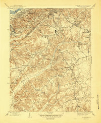
 - 1934 Map of Upper Marlboro (east half)
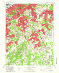
 1934 Upper Marlboro (east half)1934 Print · USGSCovers Bradbury Heights, including Washington, Silver Spring, and other nearby areas2 unique versions available
 - 1937 Map of Upper Marlboro
 1937 Upper Marlboro1937 Print · USGSCovers Bradbury Heights, including Washington, Silver Spring, and other nearby areas
 - 1938 Map of Upper Marlboro
 1938 Upper Marlboro1938 Print · USGSCovers Bradbury Heights, including Washington, Silver Spring, and other nearby areas3 unique versions available
 - 1945 Map of Anacostia
 1945 Anacostia1945 Print · USGSCovers Bradbury Heights, including Washington, Clinton, and other nearby areas3 unique versions available
 - 1948 Map of Washington
 1948 Washington1948 Print · USGSCovers Bradbury Heights, including Washington, Arlington, and other nearby areas2 unique versions available
 - 1951 Map of Anacostia
 1951 Anacostia1951 Print · USGSCovers Bradbury Heights, including Washington, Clinton, and other nearby areas
 - 1956 Map of Anacostia
 1956 Anacostia1956 Print · USGSCovers Bradbury Heights, including Washington, Clinton, and other nearby areas2 unique versions available
 - 1957 Map of Washington, 1966 Print
 1957 Washington1966 Print · USGSCovers Bradbury Heights, including Washington, Arlington, and other nearby areas5 unique versions available
 - 1961 Map of Washington
 1961 Washington1961 Print · USGSCovers Bradbury Heights, including Washington, Arlington, and other nearby areas2 unique versions available
 - 1965 Map of Anacostia, 1966 Print
 1965 Anacostia1966 Print · USGSCovers Bradbury Heights, including Washington, Clinton, and other nearby areas6 unique versions available
 - 1983 Map of Washington East, 1984 Print
 1983 Washington East1984 Print · USGSCovers Bradbury Heights, including Washington, Waldorf, and other nearby areas2 unique versions available
 - 1989 Map of Washington
 1989 Washington1989 Print · USGSCovers Bradbury Heights, including Washington, Arlington, and other nearby areas
End of results
Showing maps 1-15 of 15
Frequently asked questions
- What are the different types of historical maps available for Bradbury Heights?
- What is the oldest map of Bradbury Heights?
- Where can I purchase historical maps of Bradbury Heights for my home or office?
- Where can I download high-res historical maps of Bradbury Heights?
- Are there historical topographic maps available for Bradbury Heights?
- Is there historical aerial imagery available for Bradbury Heights?
- Where are historical maps of Bradbury Heights sourced from?