Old Maps of Leonardtown, Maryland for Hiking & Exploration
Hike through history with 25 historic maps of Leonardtown. Explore old trails, ghost towns, and forgotten backroads — perfect for outdoor adventurers and local explorers.
- Rediscover forgotten places: Map out old mining camps, roads, and footpaths that no longer exist on modern maps.
- Layer with modern tools: Combine with LiDAR or satellite views to plan hikes through historical terrain.
- Made for exploration: Popular among hikers, overlanders, and local history lovers.
Use these maps to find adventure and explore the hidden past of Leonardtown.
Leonardtown, MD maps
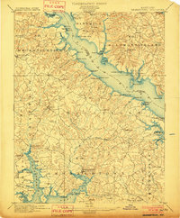
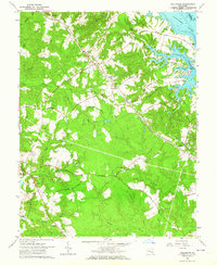
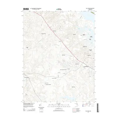
(25)- 1892 Map of Leonardtown
 1892 Leonardtown1892 Print · USGSSt. Mary's County at the end of the nineteenth century was a world of river wharves and tobacco landings. Trace the path of the Proposed Drum Point R.R. and locate family landmarks like Sotterly or Reeder Wharf along the Patuxent River.
 - 1895 Map of Leonardtown
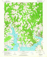
 1895 Leonardtown1895 Print · USGSSouthern Maryland in the 1890s is captured here as a river-centric landscape of wharves and crossroads. Researchers can trace the early maritime economy through landings like Reeder Wharf and Forest Wharf, or locate family sites in Hollywood and Leonardtown.
 - 1895 Map of Nomini
 1895 Nomini1895 Print · USGSSouthern Maryland and the Virginia tidewater shores meet along the Potomac in this late nineteenth-century survey. Genealogists can trace family holdings and river landings from Charlotte Hall down to Sotterly and the Nomini Ferry.
 - 1898 Map of Nomini
 1898 Nomini1898 Print · USGSMaryland and Virginia's Tidewater region comes alive in the late nineteenth century as a world of river landings, rail terminals, and rural crossroads. Researchers can trace the maritime economy through Nomini Ferry and Stone Wharf, or locate ancestral homesteads near Charlotte Hall and Potomac Mills.5 unique versions available
 - 1901 Map of Leonardtown
 1901 Leonardtown1901 Print · USGSMaryland's tidewater country at the turn of the century is defined by its deep reliance on the river and bay. Genealogists and historians can trace the vital maritime economy through old landings and wharves like Sotterly Wharf, Abells Wharf, and Coburns Wharf.3 unique versions available
 - 1936 Map of Leonardtown
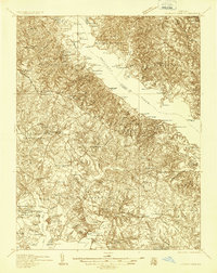 1936 Leonardtown1936 Print · USGSSt. Mary's County wharves and rural parishes are captured in detail during the mid-1930s. Genealogists can trace family footprints at Old All Faith Ch, identify old school sites like Maryland Springs Sch, or locate historic landings such as Williams Wharf.
 - 1939 Map of Leonardtown
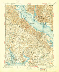 1939 Leonardtown1939 Print · USGSSouthern Maryland's river-oriented landscape is captured here in the late 1930s, centered on the community of Leonardtown. Genealogists can trace family roots through numerous country schools and landmarks like Bannaker Sch, St Andrews Ch, and the many landings along the Patuxent River.3 unique versions available
 - 1948 Map of Washington
 1948 Washington1948 Print · USGSThe Potomac and Chesapeake regions in the late 1940s reveal a landscape of expanding military reach and deep-rooted Tidewater settlements. Trace old rail corridors like the Richmond Fredericksburg & Potomac RR or locate landmarks like the Wakefield Washington Monument and St. Marys College.2 unique versions available
 - 1950 Map of Leonardtown, 1964 Print
 1950 Leonardtown1964 Print · USGSMid-century Southern Maryland comes alive on this peninsula bounded by the Patuxent and Potomac estuaries. Genealogists and historians can trace family-named points and rural infrastructure through landmarks like St Andrews Ch, Williams Wharf, and Broomes Island.
 - 1957 Map of Washington, 1966 Print
 1957 Washington1966 Print · USGSThe mid-Atlantic region during the mid-fifties and early sixties reveals a landscape of growing suburbs and vital military outposts. Researchers can trace historic river towns and shorelines from Alexandria to the Hooper Islands and St Clements Island.5 unique versions available
 - 1961 Map of Washington
 1961 Washington1961 Print · USGSThe mid-Atlantic region in the late fifties is presented in remarkable detail, from the Blue Ridge foothills to the Chesapeake Eastern Shore. Researchers can trace historic river landings and military sites like Mount Vernon, Fort Belvoir, and Point Lookout.2 unique versions available
 - 1963 Map of Hollywood, 1964 Print
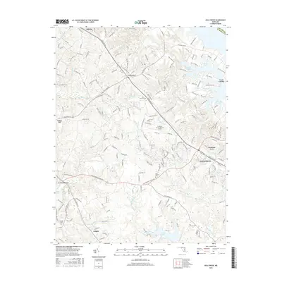
 1963 Hollywood1964 Print · USGSCoastal St. Mary's County in the early sixties reveals a landscape of tidal creeks and deep-rooted community landmarks. Researchers can trace family sites like Our Ladys Chapel, follow the U S Government Railroad, or locate the old St Cuthbert Wharf.3 unique versions available
 - 1963 Map of Leonardtown, 1964 Print
 1963 Leonardtown1964 Print · USGSThe Potomac River estuaries of St. Marys County are captured here in the early sixties, showing a landscape of tidewater landings and parish schools. Genealogists can trace family sites near St Francis Xavier Ch, St Clement Shores, and the historic Courthouse in Leonardtown.3 unique versions available
 - 1983 Map of Leonardtown, 1984 Print
 1983 Leonardtown1984 Print · USGSSouthern Maryland and the Northern Neck of Virginia are shown in the early eighties as a mosaic of historic tidewater settlements and modern installations. Trace family roots and shoreline changes near St Marys City, Leonardtown, and Colonial Beach.2 unique versions available
 - 1989 Map of Washington
 1989 Washington1989 Print · USGSThe Potomac River valley and Chesapeake Bay are shown in comprehensive detail during the late 1980s. Genealogists and historians can trace the transition from urban Alexandria to the rural Northern Neck, locating landmarks like Mount Vernon and Stratford Hall.
 - 2011 Map of Leonardtown, 2011 Print
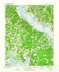
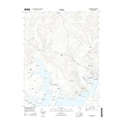
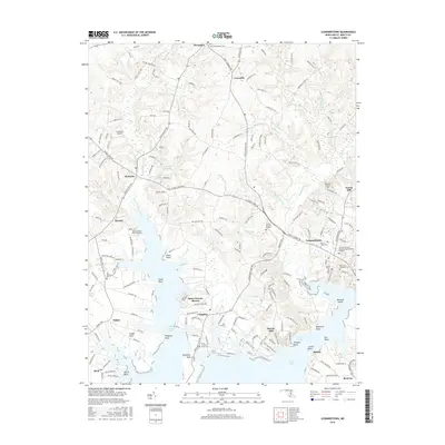
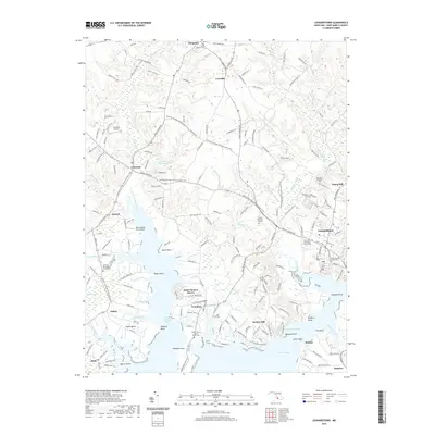
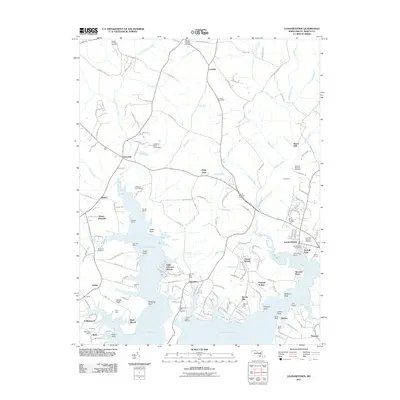 2011 Leonardtown2011 Print · USGSCovers Leonardtown, including Mount Pleasant, Breton Woods, and other nearby areas
 - 2011 Map of Hollywood, 2011 Print
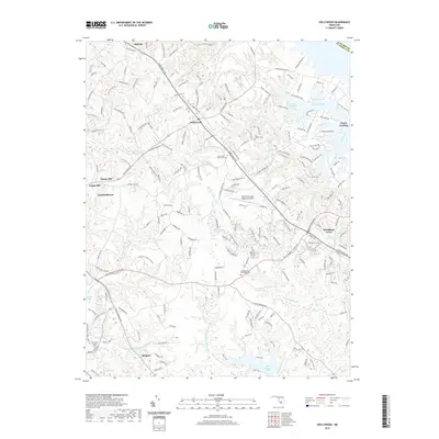
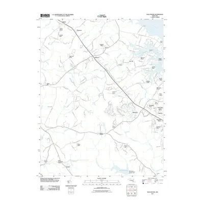 2011 Hollywood2011 Print · USGSCovers Leonardtown, including Lexington Park, California, and other nearby areas
 - 2014 Map of Hollywood, 2014 Print
 2014 Hollywood2014 Print · USGSCovers Leonardtown, including Lexington Park, California, and other nearby areas
 - 2014 Map of Leonardtown, 2014 Print
 2014 Leonardtown2014 Print · USGSCovers Leonardtown, including Mount Pleasant, Breton Woods, and other nearby areas
 - 2016 Map of Leonardtown, 2016 Print
 2016 Leonardtown2016 Print · USGSCovers Leonardtown, including Mount Pleasant, Breton Woods, and other nearby areas
 - 2016 Map of Hollywood, 2016 Print
 2016 Hollywood2016 Print · USGSCovers Leonardtown, including Lexington Park, California, and other nearby areas
 - 2019 Map of Leonardtown, 2019 Print
 2019 Leonardtown2019 Print · USGSCovers Leonardtown, including Mount Pleasant, Breton Woods, and other nearby areas
 - 2019 Map of Hollywood, 2019 Print
 2019 Hollywood2019 Print · USGSCovers Leonardtown, including Lexington Park, California, and other nearby areas
 - 2023 Map of Hollywood, 2023 Print
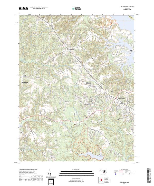 2023 Hollywood2023 Print · USGSSt. Mary's County comes into focus in this contemporary survey, capturing the modern suburban and maritime character of the Maryland peninsula. Researchers can trace historic church sites and parish grounds like Saint John Parish Cem and Our Ladys Chapel Cem amidst newer developments in California and Wildewood.
 - 2023 Map of Leonardtown, 2023 Print
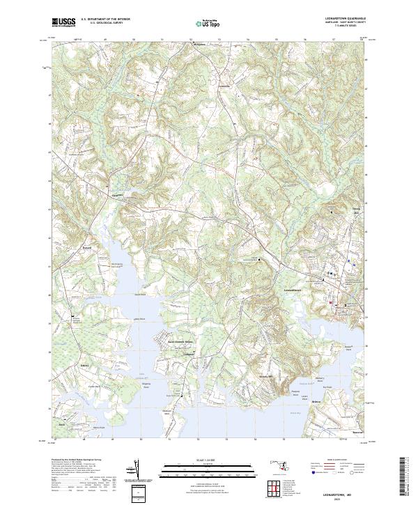 2023 Leonardtown2023 Print · USGSThe St. Mary's County seat and surrounding tidewater peninsulas are captured here in the early twenty-first century. Researchers can locate family sites at the Old Saint Aloysius Cem and Saint Francis Xavier Parish Cem, or trace the winding Potomac Heritage National Scenic Trl.
End of results
Showing maps 1-25 of 25
Top cities near Leonardtown
- Lexington Park historical maps
- California historical maps
- Chesapeake Ranch Estates historical maps
- Wildewood historical maps
- Golden Beach historical maps
- Solomons historical maps
See more
Top neighborhoods of Leonardtown
Frequently asked questions
- What are the different types of historical maps available for Leonardtown?
- What is the oldest map of Leonardtown?
- Where can I purchase historical maps of Leonardtown for my home or office?
- Where can I download high-res historical maps of Leonardtown?
- Are there historical topographic maps available for Leonardtown?
- Is there historical aerial imagery available for Leonardtown?
- Where are historical maps of Leonardtown sourced from?