2000s (21st Century) Maps of Mardela Springs, Maryland
Explore 10 historic maps of Mardela Springs from the 2000s (21st Century). These maps offer a rare glimpse into what life looked like during the 2000s — showing old roads, neighborhoods, homes, and landmarks that have changed or disappeared over time.
Whether you're researching your family's past, planning a metal detecting trip, or studying how Mardela Springs's landscape evolved across the 2000s, these high-resolution maps are a powerful tool for exploring the history of this region.
- Focus on a specific era: All maps on this page are from the 2000s, giving you a focused view of this time period.
- See what’s changed: Compare century-old streets, trails, and buildings to today's modern landscape using overlays and satellite layers.
- Research with precision: Use these maps for genealogy, historical research, land use analysis, or educational projects.
- View, download, or print: Maps are fully viewable online in high resolution, and can be downloaded or printed for your own records.
Start exploring Mardela Springs's history through authentic maps from the 2000s. This is your window into the past.
Mardela Springs, MD maps
(10)- 2011 Map of Hebron, 2011 Print
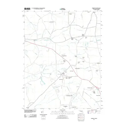 2011 Hebron2011 Print · USGSCovers Mardela Springs, including Salisbury, Hebron, and other nearby areas
 - 2011 Map of Mardela Springs, 2011 Print
 2011 Mardela Springs2011 Print · USGSCovers Mardela Springs, including Vienna, Oak Terrace Trailer Park, and other nearby areas
 - 2014 Map of Hebron, 2014 Print
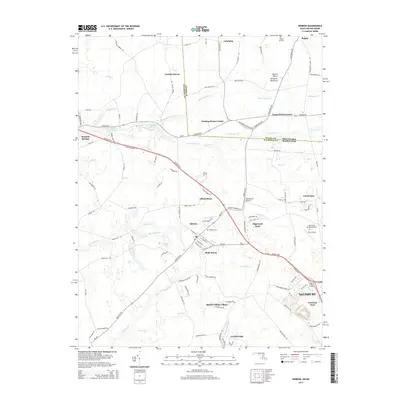 2014 Hebron2014 Print · USGSCovers Mardela Springs, including Salisbury, Hebron, and other nearby areas
 - 2014 Map of Mardela Springs, 2014 Print
 2014 Mardela Springs2014 Print · USGSCovers Mardela Springs, including Vienna, Oak Terrace Trailer Park, and other nearby areas
 - 2016 Map of Mardela Springs, 2016 Print
 2016 Mardela Springs2016 Print · USGSCovers Mardela Springs, including Vienna, Oak Terrace Trailer Park, and other nearby areas
 - 2016 Map of Hebron, 2016 Print
 2016 Hebron2016 Print · USGSCovers Mardela Springs, including Salisbury, Hebron, and other nearby areas
 - 2019 Map of Hebron, 2019 Print
 2019 Hebron2019 Print · USGSCovers Mardela Springs, including Salisbury, Hebron, and other nearby areas
 - 2019 Map of Mardela Springs, 2019 Print
 2019 Mardela Springs2019 Print · USGSCovers Mardela Springs, including Vienna, Oak Terrace Trailer Park, and other nearby areas
 - 2023 Map of Mardela Springs, 2023 Print
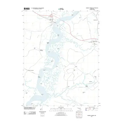
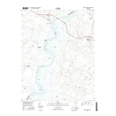
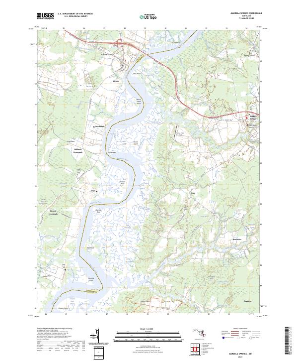 2023 Mardela Springs2023 Print · USGSThe Lower Eastern Shore's riverine landscape is captured here, centered on the Nanticoke River crossings at Vienna and Mardela Springs. Genealogists can trace family history through several private sites like the Oliphant Family Plot and Hahn Family Cem.
 - 2023 Map of Hebron, 2023 Print
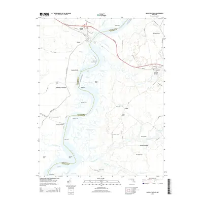
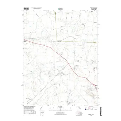
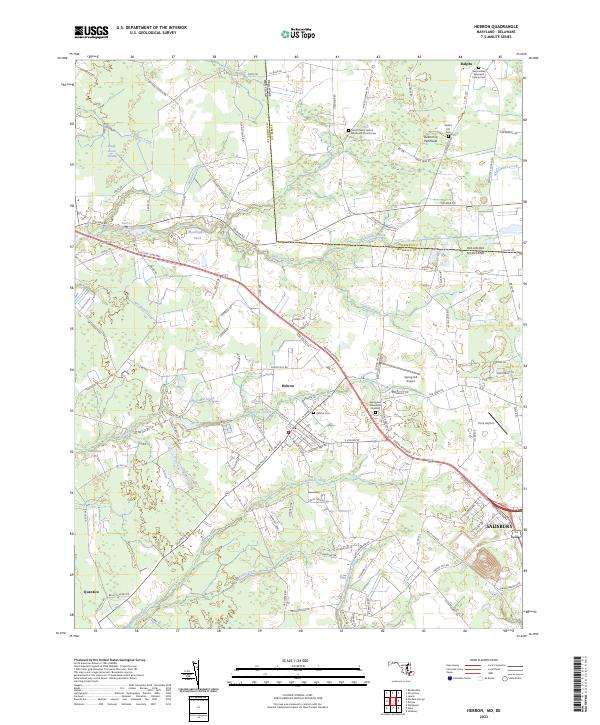 2023 Hebron2023 Print · USGSWicomico County and the Delaware border come into focus in this contemporary survey of the Delmarva Peninsula. Genealogists can trace community ties through sites like Hebron Cem and Saint Marks Episcopal Church Cem, while aviators will note Spring Hill Airport.
End of results
Showing maps 1-10 of 10
Top cities near Mardela Springs
- Salisbury historical maps
- Seaford historical maps
- Fruitland historical maps
- Delmar historical maps
- Laurel historical maps
- Federalsburg historical maps
See more
Frequently asked questions
- What are the different types of historical maps available for Mardela Springs?
- What is the oldest map of Mardela Springs?
- Where can I purchase historical maps of Mardela Springs for my home or office?
- Where can I download high-res historical maps of Mardela Springs?
- Are there historical topographic maps available for Mardela Springs?
- Is there historical aerial imagery available for Mardela Springs?
- Where are historical maps of Mardela Springs sourced from?