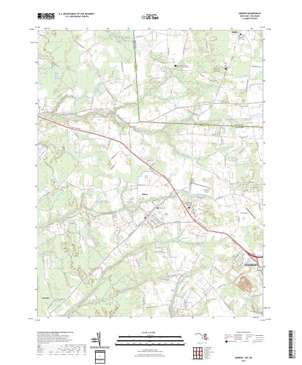
2023 Map of Hebron
USGS Topo · Published 2023About this map
The Delmarva Peninsula landscape on the border of Maryland and Delaware is defined by its intricate network of creeks and agricultural crossroads. Centered on Hebron, the map illustrates a transition from the denser settlement patterns near Salisbury to the more rural stretches near Quantico. The presence of numerous family and church-affiliated burial grounds, including Ralph's Hill Cem and Hebron Cem, highlights the long-standing community roots in Wicomico County. Waterways like Barren Creek, Rewastico Creek, and Quantico Creek dominate the drainage pattern, occasionally pooling into features such as Mockingbird Pond and Rewastico Pond. Transport and infrastructure are represented by both modern thoroughfares like the Ocean Gateway and localized aviation sites such as Spring Hill Airport and Tim's Airport, reflecting the region's blend of traditional farming and 21st-century utility.
Find a feature on this map
117 named features on this map. Tap any name to fly to it.
Don’t see what you’re looking for? This feature index may not catch every label — zoom into the map to look around manually.
Map Details
Editions of this 2023 Hebron Map
This is the sole edition of this map. No revisions or reprints were ever made.
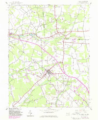
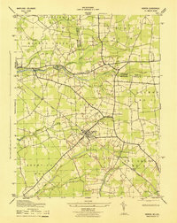
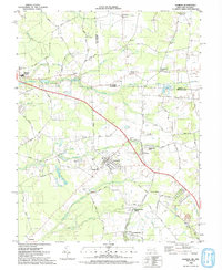
Historical Maps of Mardela Springs Through Time
4 maps found