Old Maps of New Hope, Maryland for Hiking & Exploration
Hike through history with 16 historic maps of New Hope. Explore old trails, ghost towns, and forgotten backroads — perfect for outdoor adventurers and local explorers.
- Rediscover forgotten places: Map out old mining camps, roads, and footpaths that no longer exist on modern maps.
- Layer with modern tools: Combine with LiDAR or satellite views to plan hikes through historical terrain.
- Made for exploration: Popular among hikers, overlanders, and local history lovers.
Use these maps to find adventure and explore the hidden past of New Hope.
New Hope, MD maps
(16)- 1902 Map of Pittsville
 1902 Pittsville1902 Print · USGSEastern Shore life at the turn of the century is centered on the Baltimore Chesapeake and Atlantic rail line and the Pocomoke River. Genealogists can locate family-named sites like Tilghman Pond and Hearns or trace the old rail stop at Ironshire Station.4 unique versions available
 - 1942 Map of Whaleysville, 1962 Print
 1942 Whaleysville1962 Print · USGSThe Maryland and Delaware borderlands were defined by the rail-and-water economy during the early 1940s. Genealogists and local historians can trace the foundations of communities like Whaleysville and Willards, along with rural landmarks like Pulletts Chapel and Newhope Cem.3 unique versions available
 - 1943 Map of Whaleysville
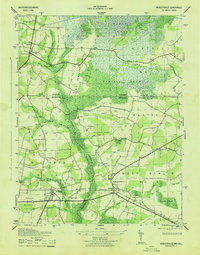 1943 Whaleysville1943 Print · USGSThe Maryland-Delaware border region in the early 1940s was a landscape defined by the drainage of the Cypress Swamp and the Pocomoke River. Researchers can locate historic rural landmarks including Pilgrim Church, Pulletts Chapel, and the Newhope Cem.
 - 1946 Map of Salisbury, 1948 Print
 1946 Salisbury1948 Print · USGSThe Delmarva Peninsula in the late nineteen-forties shows a landscape defined by its deep river arteries and emerging coastal defenses. Genealogists and historians can trace rail-connected towns like Federalsburg or locate maritime landmarks such as the Ocean City Seaplane Base and Fort Miles Military Reservation.4 unique versions available
 - 1947 Map of Salisbury, 1948 Print
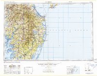 1947 Salisbury1948 Print · USGSThe Delmarva Peninsula in the late forties reveals a coastal landscape of maritime defense and growing seaside towns. Trace the post-war footprint of Salisbury, the strategic Fort Miles Military Reservation, and the Ocean City Seaplane Base.
 - 1948 Map of Salisbury, 1951 Print
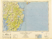 1948 Salisbury1951 Print · USGSThe Delmarva Peninsula in the late 1940s is shown here as a busy network of rail-towns and coastal outposts. Researchers can trace the legacy of the Pennsylvania Railroad through inland hubs like Georgetown or the maritime reaches of Crisfield and Cape May.
 - 1957 Map of Salisbury
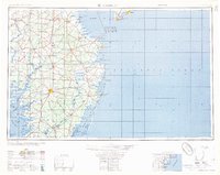 1957 Salisbury1957 Print · USGSThe Delmarva Peninsula in the mid-1950s reveals a landscape of coastal defenses and rail-driven commerce. Researchers can trace the Pennsylvania railroad lines or locate historic landmarks like the Fenwick Island Lighthouse and St Martin church.
 - 1961 Map of Salisbury
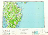 1961 Salisbury1961 Print · USGSThe Delmarva Peninsula comes into focus in the early sixties, showing the vital road and rail networks connecting the Chesapeake to the Atlantic. Genealogists and historians can trace family-named landings and coastal landmarks from Crisfield to the Brandywine Shoal Lighthouse.
 - 1965 Map of Salisbury
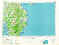 1965 Salisbury1965 Print · USGSThe Delmarva Peninsula in the mid-1960s is depicted here as a landscape of coastal defenses and maritime hubs. Genealogists and local historians can trace the foundations of bayside towns like Crisfield and the tactical positioning of the Fort Miles Military Reservation and Cape May Naval Air Station.
 - 1983 Map of Salisbury, 1984 Print
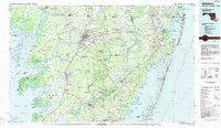 1983 Salisbury1984 Print · USGSThe Lower Eastern Shore was a landscape of tide and timber in the early eighties, from the bustling streets of Salisbury to the wild coast of Assateague Island. Researchers can trace the rail-and-road network of the Conrail and U S Highway 50 while locating historic centers like Princess Anne and Crisfield.
 - 1992 Map of Whaleysville
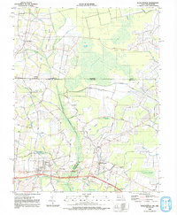 1992 Whaleysville1992 Print · USGSThe Maryland-Delaware borderlands appear in the early nineties as a landscape of swamp-fringed settlements and agricultural ridges. Genealogists can trace family names and local landmarks through Pulletts Chapel, the Willards Sch, and the Bethel Cem near Gumboro.
 - 2011 Map of Whaleyville, 2011 Print
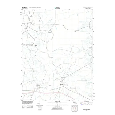 2011 Whaleyville2011 Print · USGSThe Maryland-Delaware border region in 2011 is characterized by quiet rural settlements and the winding Pocomoke River. Researchers can trace local heritage through numerous family and community sites like Pulletts Chapel Cemetery, New Hope, and the Whaleyville Post Office.
 - 2014 Map of Whaleyville, 2014 Print
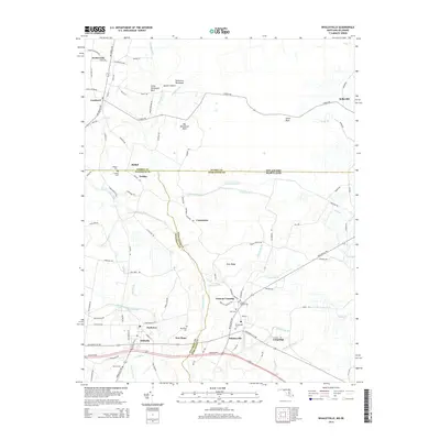 2014 Whaleyville2014 Print · USGSThe Delaware and Maryland borderlands come into focus during this mid-twenty-teens survey of the Pocomoke River region. Genealogists and local historians can trace family roots through numerous burial sites like Pulletts Chapel Cem, Whaleyville Cem, and the settlement at Duncan Crossing.
 - 2016 Map of Whaleyville, 2016 Print
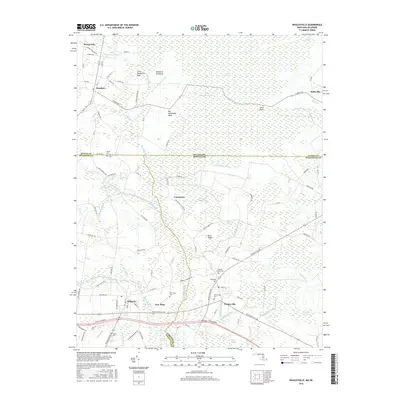 2016 Whaleyville2016 Print · USGSThe Maryland and Delaware state line divides this coastal plain landscape during the mid-2010s, where small farming communities are bound by an extensive network of wetlands. Researchers can trace local lineage through numerous burial sites like Whaleyville Cem and Twilley Cem or explore the reaches of Cypress Swamp.
 - 2019 Map of Whaleyville, 2019 Print
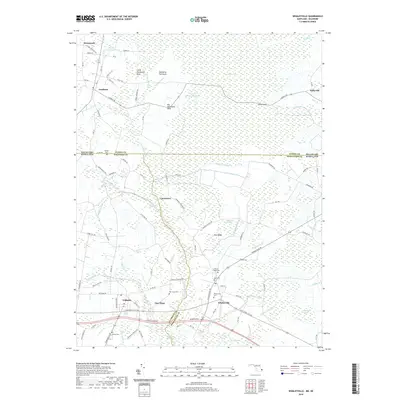 2019 Whaleyville2019 Print · USGSIn this modern survey of the Delaware-Maryland borderlands, the transition from the depths of the Cypress Swamp to established crossroads is clearly documented. Genealogists can locate several family and community burial sites, including Pulletts Chapel Cem, New Hope Cem, and Dennis Cem.
 - 2023 Map of Whaleyville, 2023 Print
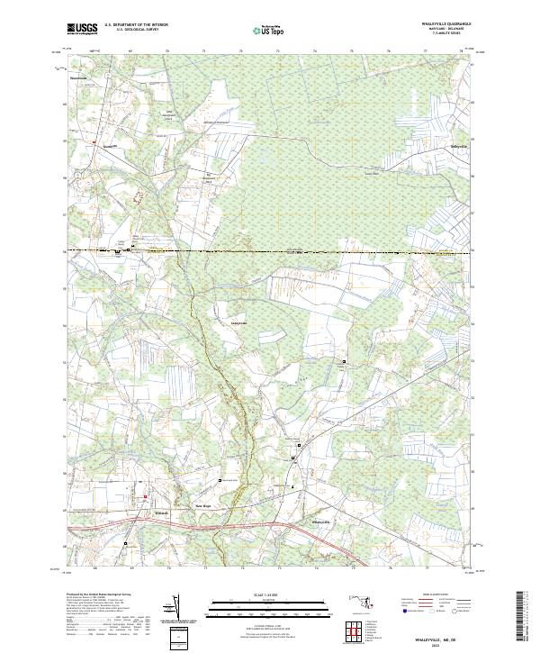 2023 Whaleyville2023 Print · USGSThe Maryland-Delaware borderlands near Whaleyville are shown here in modern detail, highlighting a landscape defined by the Cypress Swamp. Genealogists can locate family burial sites like the Twilley Family Cem and Littleton Family Cem or the historic Bethel Church.
End of results
Showing maps 1-16 of 16
Top cities near New Hope
- Salisbury historical maps
- Ocean Pines historical maps
- Delmar historical maps
- West Ocean City historical maps
- Laurel historical maps
- Berlin historical maps
See more
Frequently asked questions
- What are the different types of historical maps available for New Hope?
- What is the oldest map of New Hope?
- Where can I purchase historical maps of New Hope for my home or office?
- Where can I download high-res historical maps of New Hope?
- Are there historical topographic maps available for New Hope?
- Is there historical aerial imagery available for New Hope?
- Where are historical maps of New Hope sourced from?