Old Maps of Chatham Port, Chatham for Academic Research
Study the evolution of Chatham Port with 22 high-resolution historic maps. Whether you're teaching, researching, or modeling changes in land use, these maps provide essential visual documentation of urban, environmental, and geographic change.
- Analyze long-term change: Track patterns in development, transportation, and natural features.
- Ideal for environmental or urban studies: Support academic projects with primary historical map data.
- Use in the classroom or lab: Educators and researchers rely on these maps to bring historical context to life.
These maps are a powerful tool for teaching, research, and visualizing how Chatham Port has changed over the decades.
Chatham Port, Chatham maps
(22)- 1888 Map of Chatham
 1888 Chatham1888 Print · USGSThe Lower Cape Cod coastline appears in its late nineteenth-century form, from the settlements of Chatham and Orleans down the length of Monomoy Island. Maritime historians can trace essential safety landmarks like Chatham Lights and the Pollock Rip light ship.
 - 1893 Map of Chatham
 1893 Chatham1893 Print · USGSThe outer Cape Cod coastline at the end of the nineteenth century reveals a complex maritime landscape of barrier islands and shifting shoals. Trace the old village footprints of Chatham and North Chatham alongside vital coastal aids like Chatham Lights and the Pollock Rip Light Ship.7 unique versions available
 - 1917 Map of Chatham
 1917 Chatham1917 Print · USGSThe Lower Cape's eastern elbow is captured here during the First World War era, showing a landscape defined by maritime navigation and shifting sands. Genealogists and maritime historians can trace the positions of the Chatham Lights, the Chatham Br. railroad, and the long profile of Monomoy Island.
 - 1942 Map of Chatham
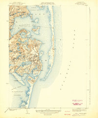 1942 Chatham1942 Print · USGSCoastal life on Cape Cod at the start of the 1940s centered on maritime safety and family-named waters. Researchers can trace the locations of the Chatham Lighthouse, Peoples Cem, and the long-lost Old Harbor C G Sta on the outer beach.
 - 1942 Map of Nauset, 1943 Print
 1942 Nauset1943 Print · USGSLower Cape Cod and its maritime frontier are captured here during the early Forties, showing the vital coastal infrastructure of the era. Genealogists and historians can trace family locations and landmarks from South Wellfleet to Chatham, including Nauset Beach Light and several Life Saving Stations.
 - 1943 Map of Chatham
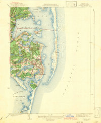 1943 Chatham1943 Print · USGSCape Cod’s southeastern elbow is captured here during the early years of the war, showing a world of maritime navigation and coastal hamlets. You can trace family history at Peoples Cem or locate historic beacons like Chatham Lighthouse and Stage Harbor Lighthouse.3 unique versions available
 - 1947 Map of Providence, 1948 Print
 1947 Providence1948 Print · USGSSouthern New England is captured in the mid-1940s, showing a landscape defined by busy industrial ports and expanding military installations. Researchers can trace the rail lines of the N.Y. N.H. & H. RR or locate coastal defenses like Fort Adams and Quonset Point.5 unique versions available
 - 1947 Map of Chatham, 1956 Print
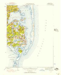 1947 Chatham1956 Print · USGSCape Cod's lower elbow appears in detail just after the war, showing the maritime and village life of this coastal community. Genealogists and historians can trace family locations near Seaside Cem or locate the Chatham C G Sta and Chatham Airport.2 unique versions available
 - 1948 Map of Providence, 1951 Print
 1948 Providence1951 Print · USGSSouthern New England’s coastal reaches are captured here in the late 1940s, from the industrial heart of Providence to the tip of Provincetown. Genealogists and historians can trace rail lines like the Central Vermont Railway and locate active military sites such as Otis Air Force Base and Fort Rodman.
 - 1957 Map of Providence
 1957 Providence1957 Print · USGSCoastal New England at the height of the mid-century era shows a landscape shaped by maritime industry and Cold War defense. Genealogists and historians can trace the reach of the New York, New Haven & Hartford RR and locate legacy sites like Fort Adams and Quonset Point Naval Air Station.
 - 1958 Map of Providence
 1958 Providence1958 Print · USGSThe Rhode Island and Massachusetts coastlines are shown in detail during the late 1950s, from the urban cores to the tips of the islands. Researchers can trace the mid-century footprint of Quonset Point Naval Air Station, the defense works at Fort Adams, and the rail network of the New York, New Haven and Hartford RR.
 - 1961 Map of Chatham, 1964 Print
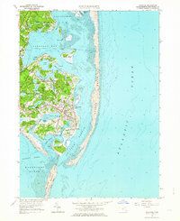 1961 Chatham1964 Print · USGSCoastal Barnstable County comes to life in this mid-century survey of the southeastern tip of the Cape. Genealogists and local historians can locate Union Cem, the historic Chatham Lighthouse, and family landmarks like Uncle Seths Pond or Nickersons Neck.2 unique versions available
 - 1963 Map of Providence
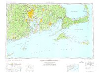 1963 Providence1963 Print · USGSSouthern New England's coastal and industrial heartland is captured here in the early sixties, from the Rhode Island mainland to the far reaches of the Cape. Researchers can trace mid-century growth in Providence or locate landmarks on Marthas Vineyard and Nantucket Island.
 - 1974 Map of Chatham, 1976 Print
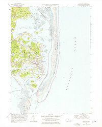 1974 Chatham1976 Print · USGSCape Cod's elbow in the mid-1970s shows a landscape defined by shifting sands and a storied maritime heritage. Genealogists and historians can trace family plots in Seaside Cem or Old Cem and locate landmarks like the Chatham Lighthouse and Stage Island.4 unique versions available
 - 1977 Map of Chatham, 1981 Print
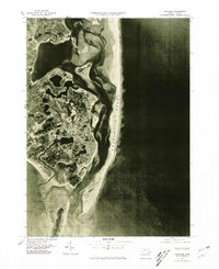 1977 Chatham1981 Print · USGSThe Lower Cape coastline is revealed in high detail in the late seventies, showing the shifting relationship between sea and sand. Trace the development of Chatham and South Orleans behind the protective barrier of Nauset Beach.
 - 1986 Map of Chatham
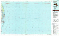 1986 Chatham1986 Print · USGSThe outer Cape Cod coastline is frozen in the mid-1980s, showing the delicate barrier beaches and maritime infrastructure before more recent coastal erosion. Researchers can trace landforms and local landmarks like Nauset Beach Lighthouse, the settlements of Chatham, and the protected waters of Pleasant Bay.
 - 1993 Map of Chatham, 1994 Print
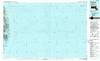 1993 Chatham1994 Print · USGSBarnstable County's outer coast appears here in the early nineties, showcasing the protected lands of the Cape Cod National Seashore. Researchers can trace the shoreline from Nauset Beach Lighthouse down to the Monomoy National Wildlife Refuge.
 - 2012 Map of Chatham, 2012 Print
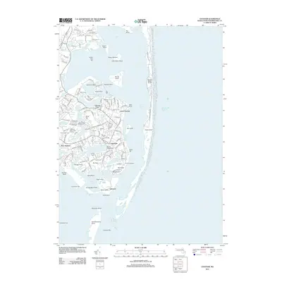 2012 Chatham2012 Print · USGSCoastal Massachusetts at the turn of the decade shows a landscape shaped by shifting beaches and maritime tradition. Genealogists and historians can locate specific burial sites like the Chatham Old Burying Ground and Seaside Cem or trace landmarks like the Chatham Lighthouse.
 - 2015 Map of Chatham, 2015 Print
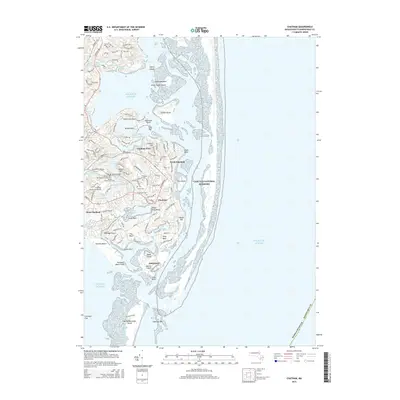 2015 Chatham2015 Print · USGSThe maritime elbow of Cape Cod is revealed here during the mid-2010s, showing a landscape shaped by shifting sands and deep-rooted coastal settlements. Genealogists and researchers can locate several historical burial sites including Old Burying Ground and Seaside Cem alongside landmarks like Cannon Hill.
 - 2018 Map of Chatham, 2018 Print
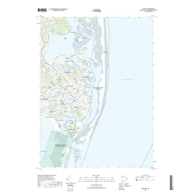 2018 Chatham2018 Print · USGSCape Cod's elbow at Chatham is shown here in the late twenty-teens, where the shifting sands of Nauset Beach Dunes meet a storied maritime village. Genealogists and historians can trace numerous local landmarks and burial sites, including Old North Cem, Peoples Cem, and Indian Ft Hill.
 - 2021 Map of Chatham, 2021 Print
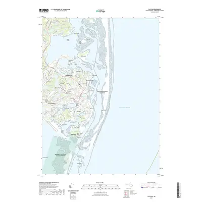 2021 Chatham2021 Print · USGSThe Lower Cape's maritime character is on full display here during the early twenty-first century. Genealogists can trace family heritage through a high density of burial sites including Smallpox Cem, Old North Cem, and Peoples Cem.
 - 2024 Map of Chatham, 2024 Print
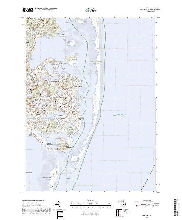 2024 Chatham2024 Print · USGSThe coastal village of Chatham and its surroundings are presented here in contemporary detail, showing the intersection of maritime history and modern conservation. Genealogists and local historians can locate several historic burial sites, including Old Baptist Cem and Peoples Cem, or trace the path of the Cape Cod Rail Trail.
End of results
Showing maps 1-22 of 22
Top cities near Chatham Port
- Yarmouth historical maps
- Dennis historical maps
- Harwich historical maps
- Brewster historical maps
- Chatham historical maps
- Orleans historical maps
See more
Frequently asked questions
- What are the different types of historical maps available for Chatham Port?
- What is the oldest map of Chatham Port?
- Where can I purchase historical maps of Chatham Port for my home or office?
- Where can I download high-res historical maps of Chatham Port?
- Are there historical topographic maps available for Chatham Port?
- Is there historical aerial imagery available for Chatham Port?
- Where are historical maps of Chatham Port sourced from?