Old Maps of North Adams, Massachusetts for Metal Detecting
Plan your next treasure hunt with 37 historic maps of North Adams. Find old homesites, ghost towns, trails, and gathering spots that may be lost to time — perfect for identifying promising metal detecting locations.
- Locate forgotten sites: Uncover places like long-lost settlements, abandoned rail lines, or gathering spots.
- Plan better hunts: Use map overlays combined with LiDAR or satellite views to narrow in on historically rich areas.
- Made for detectorists: Thousands of hobbyists use these maps to discover relics, coins, and hidden history.
Use these historic maps to boost your research and find new opportunities beneath the surface of North Adams.
North Adams, MA maps
(37)- 1886 Map of Greylock
 1886 Greylock1886 Print · USGSThe northern Berkshires are captured here in the mid-1880s, dominated by the massif of Mt Greylock and the industrial valleys below. Genealogists and researchers can trace the vital rail links through the Hoosac Tunnel Line and find old neighborhood names like Blackington, Cheshire Harbor, and Savoy Hollow.
 - 1891 Map of Greylock
 1891 Greylock1891 Print · USGSThe northern Berkshires are captured here in the late nineteenth century as rail lines and textile centers transformed the rugged valley floor. Genealogists and hikers can trace old homesteads and landmarks like Mt Greylock, the Hoosac Tunnel Line, and the vanished site of Arnoldsville.
 - 1893 Map of Greylock
 1893 Greylock1893 Print · USGSThe Northern Berkshires were at an industrial peak in the late 1800s, centered on the vital rail and water corridors of the Hoosic Valley. Researchers can trace the engineering of the Hoosac Tunnel Line and find historic mill settlements like Maple Grove and Cheshire Harbor.
 - 1898 Map of Greylock
 1898 Greylock1898 Print · USGSThe Berkshire highlands at the close of the nineteenth century reveal a landscape of deep valleys and engineering feats. Trace the path of the Hoosac Tunnel or locate historic mill sites and rail stops in North Adams, Zylonite, and Cheshire.10 unique versions available
 - 1900 Map of Taconic
 1900 Taconic1900 Print · USGSThe tri-state border region of the Taconic Mountains thrived at the turn of the century as a hub of rail travel and valley industry. Genealogists and historians can trace the early footprints of Hoosick Falls, Bennington, and the winding path of the Rutland R.R.4 unique versions available
 - 1944 Map of Williamstown, 1957 Print
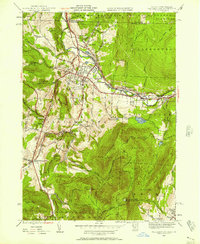 1944 Williamstown1957 Print · USGSBerkshire County at the end of the war years reveals a valley shaped by the prestigious Williams College and the manufacturing centers along the Hoosic River. Genealogists and historians can locate family plots at East Lawn Cem or trace the early industrial layout of Blackinton and Braytonville.
 - 1944 Map of North Adams, 1958 Print
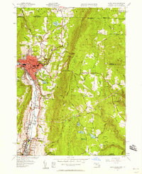 1944 North Adams1958 Print · USGSBerkshire County's industrial valleys and steep mountain passes are captured here during the mid-forties. Genealogists and historians can trace rail-side neighborhoods like Zylonite, locate family plots in Miller Cem, or find the high-altitude Boston Central Shaft.
 - 1946 Map of Williamstown
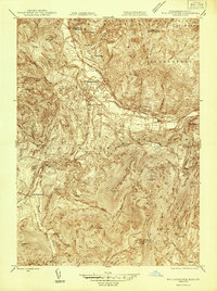 1946 Williamstown1946 Print · USGSThe northern Berkshires come alive in the mid-1940s, showing the intersection of academic life and the industrial rail corridor. Genealogists and hikers can trace the original paths of the Appalachian Trail and find family-named landmarks like Theil Farm or the historic Sand Spring.
 - 1947 Map of Williamstown
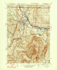 1947 Williamstown1947 Print · USGSThe Berkshires of the late 1940s are captured here during a period of academic and industrial stability. Trace the grounds of Williams College, the early route of the Appalachian Trail, and family landmarks like Thiel Farm or the high slopes of Mt Greylock.2 unique versions available
 - 1948 Map of North Adams
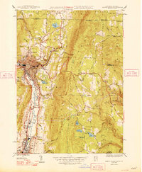 1948 North Adams1948 Print · USGSThe Hoosic River valley and the engineering marvels of the Hoosac Range are captured here just after the war. Researchers can trace industrial sites in Zylonite, rural schoolhouses like School No 8, and the ventilation Central Shaft of the railroad tunnel.2 unique versions available
 - 1948 Map of Albany, 1951 Print
 1948 Albany1951 Print · USGSThe Hudson and Connecticut River valleys are captured here in the late 1940s, showing the vital rail and water corridors of the Northeast. You can trace the Boston and Maine tracks past Mt Greylock or locate early settlements like Great Barrington and Bennington.
 - 1950 Map of North Adams
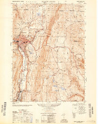 1950 North Adams1950 Print · USGSThe Hoosic River valley hums with industry and transit at the mid-point of the century. Genealogists and industrial historians can trace the Boston and Maine RR line, the famous Mohawk Trail, and the Hoosac Tunnel Central Shaft.
 - 1956 Map of Albany, 1968 Print
 1956 Albany1968 Print · USGSThe industrial heart of the Northeast is revealed in the mid-1950s, from the Hudson Valley to the Connecticut River. Researchers can trace the legacy of the Quabbin Reservoir, locate Westover Air Force Base, or follow the Rutland RR through the Green Mountains.2 unique versions available
 - 1957 Map of Albany
 1957 Albany1957 Print · USGSThe Tri-State region and Connecticut River Valley are captured here during a period of significant postwar growth and infrastructure expansion. Genealogists and historians can trace the rail-and-river economy through landmarks like the Boston and Maine railroad, Quabbin Reservoir, and Westover Air Force Base.
 - 1959 Map of Albany
 1959 Albany1959 Print · USGSThe Hudson and Connecticut River valleys are captured here during the late fifties, showing the region's dense rail networks and massive water projects. Researchers can trace the New York State Thruway or locate local landmarks like Mt Greylock and the Quabbin Reservoir.
 - 1960 Map of Williamstown, 1961 Print
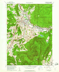 1960 Williamstown1961 Print · USGSThe Berkshires of western Massachusetts are shown in detail during the early sixties, centered on the college town and the state's highest peak. Researchers can trace the Appalachian Trail over Mt Greylock or locate ancestral sites at Westlawn Cem and Southlawn Cem.2 unique versions available
 - 1960 Map of North Adams, 1961 Print
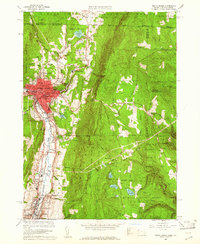 1960 North Adams1961 Print · USGSThe Northern Berkshires in the early 1960s reveal a landscape where industrial river towns like NORTH ADAMS and Adams meet high mountain forests. Genealogists and historians can trace local roots through Southview Cem, visit the Natural Bridge, or follow the BOSTON AND MAINE RAILROAD through Zylonite.2 unique versions available
 - 1962 Map of Albany
 1962 Albany1962 Print · USGSThe Hudson and Connecticut River valleys meet the Green Mountains and Berkshires in this mid-century overview of the Northeast. Genealogists and historians can trace the industrial hearts of Albany and Springfield or locate features like Quabbin Reservoir and Westover Air Force Base.
 - 1973 Map of Williamstown, 1975 Print
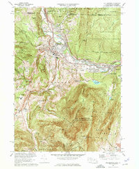 1973 Williamstown1975 Print · USGSThe Berkshires come alive in the early seventies as academic life at Williams College meets the high peaks of the Mt Greylock State Reservation. Researchers can trace old family lands like Mt Hope Farm, find quiet cemeteries like Southlawn Cem, and follow the historic Appalachian Trail.5 unique versions available
 - 1973 Map of North Adams, 1975 Print
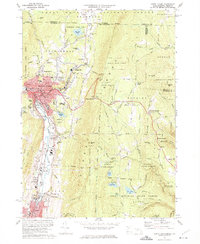 1973 North Adams1975 Print · USGSNorth Adams and its neighboring mountain townships are shown in the early seventies, a landscape where industrial valleys meet state forest peaks. Genealogists and historians can trace rail routes through the Hoosac Tunnel or locate ancestral sites like Hillside Cem and Briggsville.4 unique versions available
 - 1975 Map of Williamstown, 1981 Print
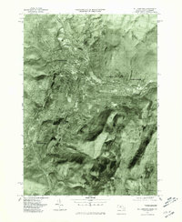 1975 Williamstown1981 Print · USGSThe Berkshires in the mid-1970s are captured in this aerial survey, detailing the industrial and academic corridor of the Hoosic River valley. Researchers can trace land use patterns across Williamstown, North Adams, and the slopes of Mt Greylock.
 - 1975 Map of North Adams, 1981 Print
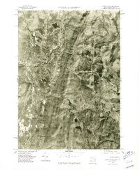 1975 North Adams1981 Print · USGSNorthern Berkshire County is documented during the mid-seventies, showing the valley floor as it transitions from industrial centers to high peaks. Researchers can trace land use patterns near North Adams, Zylonite, and the steep terrain around Whitcomb Summit.
 - 1986 Map of Albany
 1986 Albany1986 Print · USGSThe Capital District and the tri-state highlands come into focus during the mid-eighties as urban growth meets the edge of the Green Mountains. Researchers can trace historic industrial sites and landmarks like the Watervliet Arsenal, the Bennington Battle Monument, and the grounds of Rensselaer Polytechnic Institute.
 - 1988 Map of North Adams
 1988 North Adams1988 Print · USGSThe northern Berkshires of the late eighties are defined by the collegiate atmosphere of Williamstown and the industrial heritage of North Adams. Researchers can trace the path of the Appalachian Trail over Mt Greylock or locate family plots in Beth Israel Cem and Southlawn Cem.
 - 1989 Map of Albany
 1989 Albany1989 Print · USGSThe tri-state intersection of New York, Vermont, and Massachusetts comes alive in the late 1980s, centered on the historic river confluence of the Capital District. Researchers can trace the extensive rail lines of the D & H RR and explore high peaks like Mount Greylock or the reaches of the Tomhannock Reservoir.2 unique versions available
Showing maps 1-25 of 37
Top cities near North Adams
- Pittsfield historical maps
- Bennington historical maps
- Adams historical maps
- Williamstown historical maps
- Hoosick historical maps
- Dalton historical maps
See more
Top neighborhoods of North Adams
- Brayton Hill historical maps
- Braytonville historical maps
- Blackinton historical maps
- Greylock historical maps
- Church Street Historic District historical maps
- Church Street-Cady Hill Historic District historical maps
See more
Frequently asked questions
- What are the different types of historical maps available for North Adams?
- What is the oldest map of North Adams?
- Where can I purchase historical maps of North Adams for my home or office?
- Where can I download high-res historical maps of North Adams?
- Are there historical topographic maps available for North Adams?
- Is there historical aerial imagery available for North Adams?
- Where are historical maps of North Adams sourced from?