Old Maps of Hawley, Massachusetts for Academic Research
Study the evolution of Hawley with 44 high-resolution historic maps. Whether you're teaching, researching, or modeling changes in land use, these maps provide essential visual documentation of urban, environmental, and geographic change.
- Analyze long-term change: Track patterns in development, transportation, and natural features.
- Ideal for environmental or urban studies: Support academic projects with primary historical map data.
- Use in the classroom or lab: Educators and researchers rely on these maps to bring historical context to life.
These maps are a powerful tool for teaching, research, and visualizing how Hawley has changed over the decades.
Hawley, MA maps
(44)- 1886 Map of Hawley
 1886 Hawley1886 Print · USGSThe northern Berkshires and Vermont border are captured in the late 1800s as railroads began to pierce the highlands. Trace the engineering of the Hoosac Tunnel or locate old settlements like Monroe Bridge and Buckland Four Corners.
 - 1890 Map of Hawley
 1890 Hawley1890 Print · USGSFranklin County and the Vermont borderlands are shown here in the 1880s as the railroad era transformed the Deerfield Valley. Trace the path of the Fitchburg Railroad through the Hoosac Tunnel or find old roads in Hawley and Ashfield.
 - 1894 Map of Hawley
 1894 Hawley1894 Print · USGSThe northern Berkshires in the late nineteenth century are defined by the Deerfield River and the legendary Hoosac Tunnel rail route. Researchers can trace old upland hamlets like Spruce Corner, locate riverside settlements such as Monroe Bridge, and study the early rail network through Zoar.8 unique versions available
 - 1943 Map of Brattleboro
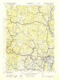 1943 Brattleboro1943 Print · USGSSouthern Vermont and the Massachusetts border area appear in this mid-century survey as a landscape of timbered peaks and river-connected villages. Genealogists can trace family roots through markers like Arms Cem or follow the rails at Dummerston Sta and Putney Sta.
 - 1943 Map of Ashfield
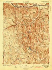 1943 Ashfield1943 Print · USGSFranklin County hill towns and the river valley are captured here just before the mid-century, showing a landscape of small hamlets and high ridges. Trace old family plots at Leavitt Cem or follow the historic Mohawk Trail and Ashfield Pond.2 unique versions available
 - 1944 Map of Rowe, 1958 Print
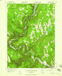 1944 Rowe1958 Print · USGSThe Deerfield River valley and the Berkshire highlands come alive in this mid-century survey of the Massachusetts-Vermont border. Researchers can trace the path of the Hoosac Tunnel, the Mohawk Trail, and rural cemeteries like Sherman Cem and West Cem.
 - 1947 Map of Plainfield
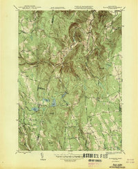 1947 Plainfield1947 Print · USGSThe Western Massachusetts hill towns are captured in the mid-1940s, showing a landscape of upland farms and mountain brooks. Researchers can trace family roots at Hilltop Cem or locate former schoolhouses like Bozrah Sch and North Sch.2 unique versions available
 - 1947 Map of Rowe
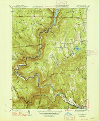 1947 Rowe1947 Print · USGSFranklin County in the late 1940s reveals a mountainous landscape defined by the engineering of the Hoosac Tunnel and the Deerfield River. Genealogists and historians can locate family plots at North Cem, trace the operations at Davis Mine, and explore the rail-dependent community at Monroe Bridge.2 unique versions available
 - 1948 Map of Plainfield
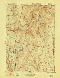 1948 Plainfield1948 Print · USGSThe hill towns of the Berkshires remained deeply rural just after the war, defined by high summits and small crossroads hamlets. Genealogists and hikers can trace old family burial grounds like Hilltop Cem, historic district schools such as Bozrah Sch, and the winding course of the Chickley River.2 unique versions available
 - 1948 Map of Albany, 1951 Print
 1948 Albany1951 Print · USGSThe Hudson and Connecticut River valleys are captured here in the late 1940s, showing the vital rail and water corridors of the Northeast. You can trace the Boston and Maine tracks past Mt Greylock or locate early settlements like Great Barrington and Bennington.
 - 1955 Map of Plainfield, 1956 Print
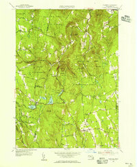 1955 Plainfield1956 Print · USGSThe northern Berkshires in the mid-1950s appear as a landscape of interconnected state forests and quiet upland hamlets. Researchers can trace family sites at Hilltop Cem, visit School No 7, or explore the terrain around Windsor Jambs and Hallockville.4 unique versions available
 - 1955 Map of Ashfield, 1956 Print
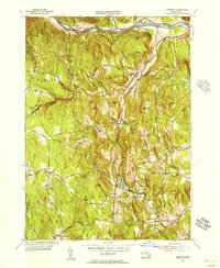 1955 Ashfield1956 Print · USGSThe hill towns of Franklin County appear here in the mid-fifties, showing a landscape shaped by the Berkshire foothills and the Deerfield River. Researchers can trace rural lineages through old village sites like Buckland Four Corners, remote cemeteries like Leavitt Cem, and named peaks such as Moonshine Hill.3 unique versions available
 - 1956 Map of Albany, 1968 Print
 1956 Albany1968 Print · USGSThe industrial heart of the Northeast is revealed in the mid-1950s, from the Hudson Valley to the Connecticut River. Researchers can trace the legacy of the Quabbin Reservoir, locate Westover Air Force Base, or follow the Rutland RR through the Green Mountains.2 unique versions available
 - 1957 Map of Albany
 1957 Albany1957 Print · USGSThe Tri-State region and Connecticut River Valley are captured here during a period of significant postwar growth and infrastructure expansion. Genealogists and historians can trace the rail-and-river economy through landmarks like the Boston and Maine railroad, Quabbin Reservoir, and Westover Air Force Base.
 - 1959 Map of Albany
 1959 Albany1959 Print · USGSThe Hudson and Connecticut River valleys are captured here during the late fifties, showing the region's dense rail networks and massive water projects. Researchers can trace the New York State Thruway or locate local landmarks like Mt Greylock and the Quabbin Reservoir.
 - 1960 Map of Rowe, 1961 Print
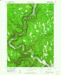 1960 Rowe1961 Print · USGSThe Berkshires at the start of the 1960s show a landscape shaped by the Deerfield River and the industrial infrastructure of the Boston and Maine RR. Genealogists and historians can trace family plots at Sherman Cem or locate the famed Hoosac Tunnel and the mills at Monroe Bridge.2 unique versions available
 - 1962 Map of Albany
 1962 Albany1962 Print · USGSThe Hudson and Connecticut River valleys meet the Green Mountains and Berkshires in this mid-century overview of the Northeast. Genealogists and historians can trace the industrial hearts of Albany and Springfield or locate features like Quabbin Reservoir and Westover Air Force Base.
 - 1971 Map of Ashfield, 1973 Print
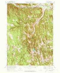 1971 Ashfield1973 Print · USGSFranklin County's hill towns and river valleys are shown here in the early 1970s as agricultural life and modern infrastructure intersected. Researchers can trace family sites at Sanderson Academy and the Ashfield Plain Cem or follow the old Boston and Maine rail line.3 unique versions available
 - 1971 Map of Plainfield, 1973 Print
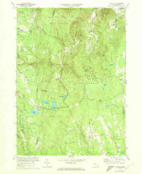 1971 Plainfield1973 Print · USGSThe Massachusetts highlands of the early 1970s reveal a landscape of dense state forests and quiet upland hamlets. Genealogists and hikers can trace old family burial grounds like Hilltop Cem or explore landmarks such as Windsor Jambs and Plainfield Pond.2 unique versions available
 - 1973 Map of Rowe, 1975 Print
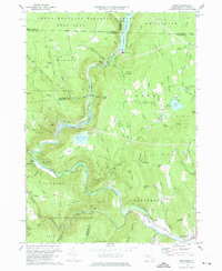 1973 Rowe1975 Print · USGSFranklin County's northwestern highlands appear in the 1970s as a landscape of hydroelectric power and deep-bore rail engineering. You can trace the path of the Mohawk Trail, locate the Hoosac Tunnel entrance, and find small family landmarks like West Cem and Phelps Hill.4 unique versions available
 - 1975 Map of Plainfield, 1981 Print
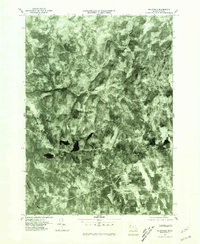 1975 Plainfield1981 Print · USGSThe hill towns of western Massachusetts appear in the mid-1970s as a landscape of dense timber and quiet rural crossroads. Researchers can trace the exact footprint of settlements like West Hawley and Plainfield or find the remote shores of Windsor Pond.
 - 1975 Map of Rowe, 1981 Print
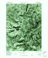 1975 Rowe1981 Print · USGSThe northern Berkshires and Deerfield River valley appear in high detail during the mid-seventies. Trace the path of the Hoosac Tunnel and explore settlements like Monroe Bridge, Rowe, and Zoar amidst the dense forest and reservoirs.
 - 1975 Map of Ashfield, 1981 Print
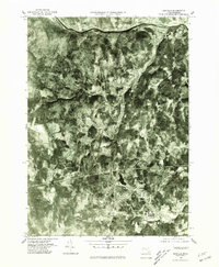 1975 Ashfield1981 Print · USGSFranklin County's rural landscape is revealed in this mid-seventies aerial study of the Deerfield River valley. Genealogists and local historians can trace the clear footprints of Ashfield, Buckland, and the riverfront at East Charlemont.
 - 1986 Map of Keene
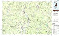 1986 Keene1986 Print · USGSThe tri-state borderlands of the Connecticut River Valley come alive in this mid-eighties survey of southern Vermont, New Hampshire, and Massachusetts. Genealogists and historians can trace rail-era villages like Ashuelot and Millers Falls alongside landmarks like Marlboro College and Monadnock Mountain.3 unique versions available
 - 1990 Map of Ashfield
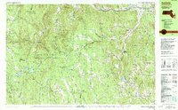 1990 Ashfield1990 Print · USGSFranklin County's high country is captured here in the late twentieth century, showing a landscape of small hill towns and protected forests. Researchers can trace family sites at Pudding Hollow Cem or explore early settlements like Plainfield and South Hawley.2 unique versions available
Showing maps 1-25 of 44
Top cities near Hawley
- Northampton historical maps
- North Adams historical maps
- Adams historical maps
- Dalton historical maps
- Cheshire historical maps
- Williamsburg historical maps
See more
Top neighborhoods of Hawley
- Dodge Corner historical maps
- Hallockville historical maps
- King Corner historical maps
- South Hawley historical maps
Frequently asked questions
- What are the different types of historical maps available for Hawley?
- What is the oldest map of Hawley?
- Where can I purchase historical maps of Hawley for my home or office?
- Where can I download high-res historical maps of Hawley?
- Are there historical topographic maps available for Hawley?
- Is there historical aerial imagery available for Hawley?
- Where are historical maps of Hawley sourced from?