Old Maps of Shelburne, Massachusetts for Metal Detecting
Plan your next treasure hunt with 35 historic maps of Shelburne. Find old homesites, ghost towns, trails, and gathering spots that may be lost to time — perfect for identifying promising metal detecting locations.
- Locate forgotten sites: Uncover places like long-lost settlements, abandoned rail lines, or gathering spots.
- Plan better hunts: Use map overlays combined with LiDAR or satellite views to narrow in on historically rich areas.
- Made for detectorists: Thousands of hobbyists use these maps to discover relics, coins, and hidden history.
Use these historic maps to boost your research and find new opportunities beneath the surface of Shelburne.
Shelburne, MA maps
(35)- 1890 Map of Greenfield
 1890 Greenfield1890 Print · USGSFranklin County's industrial and rail corridors are captured in the late nineteenth century as the river valleys pulsed with water-powered manufacturing. Genealogists and historians can trace the foundations of Turners Falls, the layout of Lake Pleasant Camp Ground, and the rail connections at Conway Depot.
 - 1894 Map of Greenfield
 1894 Greenfield1894 Print · USGSFranklin County's industrial river valleys are captured here in the late 19th century as rail lines and water power drove local growth. Genealogists and historians can trace the foundations of Turner Falls, the transit hub at Cheapside, and the historic village of Deerfield.10 unique versions available
 - 1937 Map of Shelburne Falls
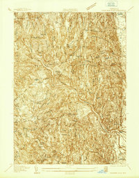 1937 Shelburne Falls1937 Print · USGSFranklin County's river valleys and ridgelines are captured here in the late thirties as the Mohawk Trail and the Boston and Maine Railroad shaped local commerce. Researchers can trace family sites like the Skinner Cem or locate the old Roberts Sch and Union Ch.
 - 1937 Map of Colrain
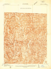 1937 Colrain1937 Print · USGSNorthwestern Massachusetts hill towns show their industrial and defensive roots in the years before the war. Trace colonial history at the Site of Fort Morrison or locate family homesteads near Griswoldville, Adamsville, and Aunt Sophies Peak.
 - 1941 Map of Shelburne Falls
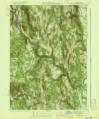 1941 Shelburne Falls1941 Print · USGSFranklin County's hill towns and river valleys are captured here during the early 1940s, showing the intersection of industry and rural life. Trace the path of the Mohawk Trail and find local landmarks such as Arms Cem, Union Ch, and the settlement of Burkville.3 unique versions available
 - 1941 Map of Colrain
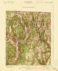 1941 Colrain1941 Print · USGSThe hill towns of Franklin County appear here in the early 1940s, showing the tight-knit industrial and farming hamlets along the North River. Genealogists and historians can trace colonial-era frontier sites like the Site of Fort Morrison or locate family roots near Griswoldville and West Leyden.2 unique versions available
 - 1943 Map of Brattleboro
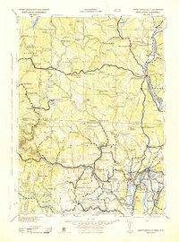 1943 Brattleboro1943 Print · USGSSouthern Vermont and the Massachusetts border area appear in this mid-century survey as a landscape of timbered peaks and river-connected villages. Genealogists can trace family roots through markers like Arms Cem or follow the rails at Dummerston Sta and Putney Sta.
 - 1945 Map of Colrain, 1958 Print
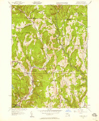 1945 Colrain1958 Print · USGSFranklin County's river-valley settlements and upland farms are captured here in the mid-1940s as industry and agriculture defined the region. Researchers can trace the North River through Griswoldville, find colonial landmarks like the Site of Fort Lucas, or locate family sites at Chandler Hill Cem.
 - 1946 Map of Colrain
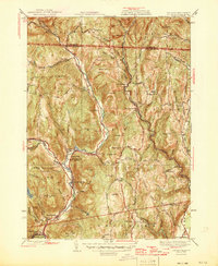 1946 Colrain1946 Print · USGSFranklin County and the Vermont border are shown just after the war, where industrial villages like Griswoldville and Shattuckville line the river valleys. Genealogists can trace early homesteads and colonial history through sites like the Site of Fort Morris and West Leyden Cem.2 unique versions available
 - 1948 Map of Albany, 1951 Print
 1948 Albany1951 Print · USGSThe Hudson and Connecticut River valleys are captured here in the late 1940s, showing the vital rail and water corridors of the Northeast. You can trace the Boston and Maine tracks past Mt Greylock or locate early settlements like Great Barrington and Bennington.
 - 1949 Map of Shelburne Falls
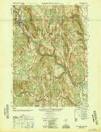 1949 Shelburne Falls1949 Print · USGSFranklin County's highland terrain and river valleys are shown here in the late Forties, when the village of Shelburne Falls served as a vital regional hub. Researchers can trace historic family burial sites like Pine Grove Cem and follow the route of the Boston and Maine Railroad.2 unique versions available
 - 1956 Map of Albany, 1968 Print
 1956 Albany1968 Print · USGSThe industrial heart of the Northeast is revealed in the mid-1950s, from the Hudson Valley to the Connecticut River. Researchers can trace the legacy of the Quabbin Reservoir, locate Westover Air Force Base, or follow the Rutland RR through the Green Mountains.2 unique versions available
 - 1957 Map of Albany
 1957 Albany1957 Print · USGSThe Tri-State region and Connecticut River Valley are captured here during a period of significant postwar growth and infrastructure expansion. Genealogists and historians can trace the rail-and-river economy through landmarks like the Boston and Maine railroad, Quabbin Reservoir, and Westover Air Force Base.
 - 1959 Map of Albany
 1959 Albany1959 Print · USGSThe Hudson and Connecticut River valleys are captured here during the late fifties, showing the region's dense rail networks and massive water projects. Researchers can trace the New York State Thruway or locate local landmarks like Mt Greylock and the Quabbin Reservoir.
 - 1961 Map of Colrain, 1963 Print
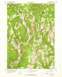 1961 Colrain1963 Print · USGSNorthwestern Massachusetts in the early sixties remains a landscape of river-valley industry and colonial frontier sites. Researchers can trace the heritage of Colrain and Leyden through numerous family-named landmarks like Franklin Hill and historic locations such as Fort Morrison (Site).2 unique versions available
 - 1961 Map of Shelburne Falls, 1963 Print
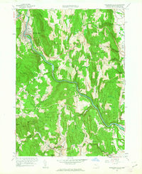 1961 Shelburne Falls1963 Print · USGSThe Deerfield River valley in the early 1960s reveals a landscape of steep ridges and tight-knit villages connected by the Boston and Maine railroad. Genealogists can trace family names through numerous burial grounds like Hawks Cem or locate former schoolhouses such as Roberts Sch near East Hill.2 unique versions available
 - 1962 Map of Albany
 1962 Albany1962 Print · USGSThe Hudson and Connecticut River valleys meet the Green Mountains and Berkshires in this mid-century overview of the Northeast. Genealogists and historians can trace the industrial hearts of Albany and Springfield or locate features like Quabbin Reservoir and Westover Air Force Base.
 - 1975 Map of Shelburne Falls, 1981 Print
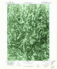 1975 Shelburne Falls1981 Print · USGSFranklin County's upland farms and river valleys are captured in the mid-seventies, showing the area's transition into the modern era. Trace the landscape around Shelburne Falls, the winding Deerfield River, and the rural crossroads of Shirkshire.
 - 1975 Map of Colrain, 1981 Print
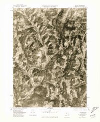 1975 Colrain1981 Print · USGSFranklin County's rural landscape is revealed in this mid-seventies aerial survey of the Massachusetts-Vermont border. Trace the historic river settlements of Colrain, Foundry Village, and Griswoldville along the winding North River.
 - 1977 Map of Colrain
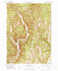 1977 Colrain1977 Print · USGSFranklin County's upland river valleys and historic borderlands are preserved here in the late seventies. Genealogists can locate family burial plots at North River Cem and Billings Cem or trace colonial-era military sites like Fort Morris (Site).3 unique versions available
 - 1978 Map of Shelburne Falls, 1979 Print
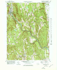 1978 Shelburne Falls1979 Print · USGSWestern Massachusetts hill towns and river valleys are captured here in the late seventies. Family historians can locate numerous rural burial grounds such as Arms Cem and Pine Grove Cem, while tracing the path of the BOSTON AND MAINE RAILROAD.
 - 1986 Map of Keene
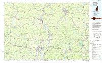 1986 Keene1986 Print · USGSThe tri-state borderlands of the Connecticut River Valley come alive in this mid-eighties survey of southern Vermont, New Hampshire, and Massachusetts. Genealogists and historians can trace rail-era villages like Ashuelot and Millers Falls alongside landmarks like Marlboro College and Monadnock Mountain.3 unique versions available
 - 1990 Map of Bernardston
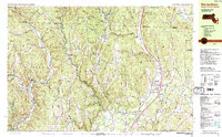 1990 Bernardston1990 Print · USGSFranklin County and the Vermont borderlands appear in the early nineties as a blend of Colonial frontier sites and industrial river hamlets. Researchers can locate historic fortifications like Fort Morrison (Site), rural schools like Leyden Sch, and family-named cemeteries such as Grove Cem.2 unique versions available
 - 1990 Map of Greenfield
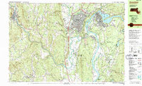 1990 Greenfield1990 Print · USGSUpper Massachusetts in the early nineties reveals a landscape of river-powered industry and prestigious academies. Genealogists and historians can trace family plots at Old Albany Cem or locate the sprawling campuses of Bement Sch and Greenfield Community College.3 unique versions available
 - 1998 Map of Bernardston, 2000 Print
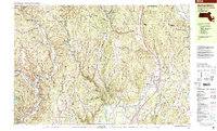 1998 Bernardston2000 Print · USGSThe hill country of Franklin County at the turn of the millennium shows a landscape of river-valley settlements and upland forests. Genealogists can locate family landmarks like Chandler Hill Cem, the Leyden Sch, and the riverside industrial hamlets of Foundry Village and Griswoldville.
Showing maps 1-25 of 35
Top cities near Shelburne
- Amherst historical maps
- Northampton historical maps
- Greenfield historical maps
- Montague historical maps
- Brattleboro historical maps
- Hadley historical maps
See more
Top neighborhoods of Shelburne
- East Shelburne historical maps
- The Patten historical maps
- Bardwell historical maps
- Shelburne Falls historical maps
Frequently asked questions
- What are the different types of historical maps available for Shelburne?
- What is the oldest map of Shelburne?
- Where can I purchase historical maps of Shelburne for my home or office?
- Where can I download high-res historical maps of Shelburne?
- Are there historical topographic maps available for Shelburne?
- Is there historical aerial imagery available for Shelburne?
- Where are historical maps of Shelburne sourced from?