1900s (20th Century) Maps of Whately, Massachusetts
Explore 20 historic maps of Whately from the 1900s (20th Century). These maps offer a rare glimpse into what life looked like during the 1900s — showing old roads, neighborhoods, homes, and landmarks that have changed or disappeared over time.
Whether you're researching your family's past, planning a metal detecting trip, or studying how Whately's landscape evolved across the 1900s, these high-resolution maps are a powerful tool for exploring the history of this region.
- Focus on a specific era: All maps on this page are from the 1900s, giving you a focused view of this time period.
- See what’s changed: Compare century-old streets, trails, and buildings to today's modern landscape using overlays and satellite layers.
- Research with precision: Use these maps for genealogy, historical research, land use analysis, or educational projects.
- View, download, or print: Maps are fully viewable online in high resolution, and can be downloaded or printed for your own records.
Start exploring Whately's history through authentic maps from the 1900s. This is your window into the past.
Whately, MA maps
(20)- 1901 Map of Holyoke
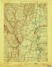 1901 Holyoke1901 Print · USGSThe Pioneer Valley and surrounding highlands thrive at the turn of the century, showing a landscape defined by mill towns and early rail networks. Genealogists and historians can trace old homesteads and local landmarks like Bisbee Mill, South Ferry, and the Agricultural College.4 unique versions available
 - 1935 Map of Williamsburg
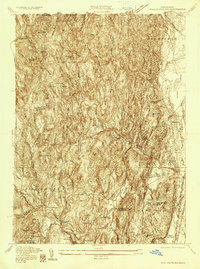 1935 Williamsburg1935 Print · USGSThe hills of Western Massachusetts are captured here in the mid-1930s as the rail and river economy of the Pioneer Valley persisted. Researchers can trace historic schoolhouses like Poland Sch, the rail terminus at Williamsburg Station, and several family-named landmarks including Joe Herrick Hill.
 - 1935 Map of Mount Toby
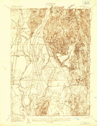 1935 Mount Toby1935 Print · USGSThe Connecticut River Valley comes alive in the mid-1930s, showing the intersection of rail-and-river life. Genealogists can locate family sites near North Sunderland Cemetery, East Whately Station, and the early Massachusetts State College campus.
 - 1941 Map of Mt Toby
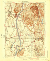 1941 Mt Toby1941 Print · USGSThe Pioneer Valley in the mid-thirties was a vital corridor for three major rail lines and a center for higher education. Genealogists can trace family names and landmarks across Sunderland and Amherst, including Massachusetts State College and the East Whately Cem.3 unique versions available
 - 1941 Map of Williamsburg
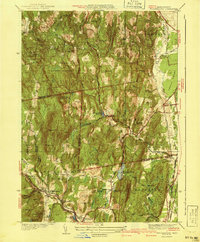 1941 Williamsburg1941 Print · USGSFranklin and Hampshire counties appear in the early 1940s, showing the intersection of industrial rail towns and upland forests. Researchers can trace the rail line to the Williamsburg Sta or find family landmarks like Petticoat Hill and West Whately.3 unique versions available
 - 1943 Map of Holyoke
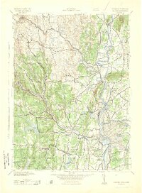 1943 Holyoke1943 Print · USGSThe Pioneer Valley and the eastern Berkshires are captured here in the early 1940s, showing a robust network of river-side industry and hill-country forests. Researchers can locate vanished landmarks and institutional grounds like Northampton State Hospital, Barnes Airport, and the Nat Gd Rifle Range.
 - 1944 Map of Mt Toby, 1954 Print
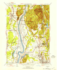 1944 Mt Toby1954 Print · USGSThe Pioneer Valley in the mid-forties shows a landscape defined by the Connecticut River and its railroads. Genealogists can trace family names through Wildwood Cemetery or North Sunderland Cem and locate schools like Three Corners Sch.2 unique versions available
 - 1948 Map of Albany, 1951 Print
 1948 Albany1951 Print · USGSThe Hudson and Connecticut River valleys are captured here in the late 1940s, showing the vital rail and water corridors of the Northeast. You can trace the Boston and Maine tracks past Mt Greylock or locate early settlements like Great Barrington and Bennington.
 - 1948 Map of Williamsburg, 1958 Print
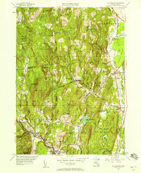 1948 Williamsburg1958 Print · USGSThe Mill River valley and eastern hills of Franklin County are captured just after the war, showing the industrial core at Williamsburg and Haydenville. Genealogists can locate old rural centers like the Poland Sch or family burials at Whately Center Cem and Southpart Cem.2 unique versions available
 - 1955 Map of Mt Toby, 1956 Print
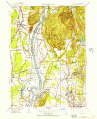 1955 Mt Toby1956 Print · USGSThe Pioneer Valley in the mid-fifties is defined by the winding Connecticut River and the growing University of Massachusetts campus. Genealogists and local historians can trace the development of old settlements like East Whately, rural depots like Whately Sta, and historic burial grounds including North Amherst Cem.2 unique versions available
 - 1956 Map of Albany, 1968 Print
 1956 Albany1968 Print · USGSThe industrial heart of the Northeast is revealed in the mid-1950s, from the Hudson Valley to the Connecticut River. Researchers can trace the legacy of the Quabbin Reservoir, locate Westover Air Force Base, or follow the Rutland RR through the Green Mountains.2 unique versions available
 - 1957 Map of Albany
 1957 Albany1957 Print · USGSThe Tri-State region and Connecticut River Valley are captured here during a period of significant postwar growth and infrastructure expansion. Genealogists and historians can trace the rail-and-river economy through landmarks like the Boston and Maine railroad, Quabbin Reservoir, and Westover Air Force Base.
 - 1959 Map of Albany
 1959 Albany1959 Print · USGSThe Hudson and Connecticut River valleys are captured here during the late fifties, showing the region's dense rail networks and massive water projects. Researchers can trace the New York State Thruway or locate local landmarks like Mt Greylock and the Quabbin Reservoir.
 - 1962 Map of Albany
 1962 Albany1962 Print · USGSThe Hudson and Connecticut River valleys meet the Green Mountains and Berkshires in this mid-century overview of the Northeast. Genealogists and historians can trace the industrial hearts of Albany and Springfield or locate features like Quabbin Reservoir and Westover Air Force Base.
 - 1964 Map of Williamsburg, 1966 Print
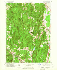 1964 Williamsburg1966 Print · USGSThe Pioneer Valley foothills and Hill Towns come to life in the mid-1960s, showing the intersection of rail, river, and mountain. Genealogists can trace family roots through the Whately Center Cem or locate the old Williamsburg Station along the Boston and Maine Railroad.4 unique versions available
 - 1971 Map of Mt Toby, 1973 Print
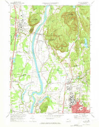 1971 Mt Toby1973 Print · USGSMassachusetts' Pioneer Valley is shown here in the early seventies, centered on the Connecticut River corridor. Genealogists and historians can trace family sites near Wildwood Cemetery, the evolving University of Massachusetts campus, and the industrial relics at Factory Hollow.2 unique versions available
 - 1975 Map of Mt Toby, 1981 Print
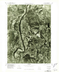 1975 Mt Toby1981 Print · USGSThe Pioneer Valley mid-century agricultural landscape is frozen in time in this 1970s aerial survey. Genealogists and local historians can trace the field patterns and original footprints of Sunderland, South Deerfield, and Russellville.
 - 1975 Map of Williamsburg, 1981 Print
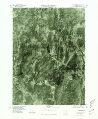 1975 Williamsburg1981 Print · USGSWilliamsburg and the surrounding hill towns appear in high-altitude detail during the mid-seventies. Local historians can trace the building footprints in Williamsburg, find the residential clusters of Searsville, and follow the course of the Mill River.
 - 1985 Map of Holyoke, 1986 Print
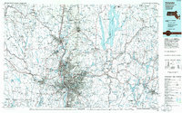 1985 Holyoke1986 Print · USGSThe Pioneer Valley and surrounding uplands appear here in the mid-eighties, showing a landscape defined by the Connecticut River and modern highway expansion. Genealogists and historians can trace rail lines like the Central Vermont Railway and locate regional landmarks from Mount Tom State Reservation to the Quabbin Reservoir.2 unique versions available
 - 1990 Map of Williamsburg
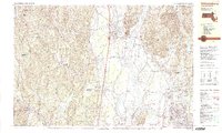 1990 Williamsburg1990 Print · USGSIn the Pioneer Valley during the late twentieth century, the landscape transitioned from the rural hills of Williamsburg to the growing University of Massachusetts campus. Genealogists can trace family names at Whately Center Cem or Riverside Cem and find industrial landmarks like Factory Hollow.2 unique versions available
End of results
Showing maps 1-20 of 20
Top cities near Whately
- Chicopee historical maps
- Holyoke historical maps
- Amherst historical maps
- Northampton historical maps
- Ludlow historical maps
- Greenfield historical maps
See more
Top neighborhoods of Whately
Frequently asked questions
- What are the different types of historical maps available for Whately?
- What is the oldest map of Whately?
- Where can I purchase historical maps of Whately for my home or office?
- Where can I download high-res historical maps of Whately?
- Are there historical topographic maps available for Whately?
- Is there historical aerial imagery available for Whately?
- Where are historical maps of Whately sourced from?