Old Maps of Hampden, Massachusetts for Academic Research
Study the evolution of Hampden with 33 high-resolution historic maps. Whether you're teaching, researching, or modeling changes in land use, these maps provide essential visual documentation of urban, environmental, and geographic change.
- Analyze long-term change: Track patterns in development, transportation, and natural features.
- Ideal for environmental or urban studies: Support academic projects with primary historical map data.
- Use in the classroom or lab: Educators and researchers rely on these maps to bring historical context to life.
These maps are a powerful tool for teaching, research, and visualizing how Hampden has changed over the decades.
Hampden, MA maps
(33)- 1887 Map of Palmer
 1887 Palmer1887 Print · USGSHampden County's industrial river valleys thrive in the late nineteenth century as rail and water power converge. Genealogists and historians can trace the growth of Three Rivers, locate the Alms House near Palmer, and identify old mill sites like Ellis Mills.
 - 1889 Map of Palmer
 1889 Palmer1889 Print · USGSHampden County and the surrounding valley are shown here in the 1880s as a thriving hub of rail and water-powered industry. Genealogists and historians can trace the foundations of local commerce through landmarks like Ellis Mills, the State Alms House, and the Granite Quarry.
 - 1893 Map of Palmer
 1893 Palmer1893 Print · USGSHampden County and its surrounding borders are captured here during a peak era of rail expansion and water-powered industry. Researchers can trace the junction of major lines at Barretts Junction or locate vanished industrial hamlets like Duckville and Ellis Mills.9 unique versions available
 - 1908 Map of Ware
 1908 Ware1908 Print · USGSCentral Massachusetts at the turn of the century reveals the Swift River Valley decades before the Quabbin Reservoir changed the landscape forever. Trace the lost footprints of Enfield and Dana, or follow the Central Vermont RR through Greenwich Village and Ware.2 unique versions available
 - 1919 Map of Palmer
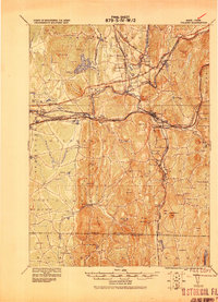 1919 Palmer1919 Print · USGSHampden County and the Connecticut borderlands are captured here during the height of the steam-rail era. Genealogists and historians can trace the foundations of local industry at Fosketts Mill, the Granite Quarry, and the sprawling Monson State Hospital.
 - 1939 Map of Hampden
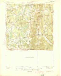 1939 Hampden1939 Print · USGSHampden and Wilbraham are captured here just before the mid-century expansion of the Springfield suburbs. Researchers can trace historic local sites like Wilbraham Academy, find family names at Prospect Hill Cem, and locate the small settlement of Baptist Village.
 - 1940 Map of Hampden
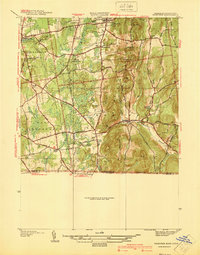 1940 Hampden1940 Print · USGSMassachusetts and Connecticut borderlands meet at the edge of the Berkshires in the late thirties. Local historians can trace old homesteads and community hubs near Baptist Village, Woodland Dell Cem, and the high peak of Minnechoag Mountain.2 unique versions available
 - 1942 Map of Hampden
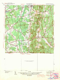 1942 Hampden1942 Print · USGSThe Pioneer Valley foothills are captured here in the years before the war, showing the rural character of Hampden and Wilbraham. Genealogists and historians can locate family-named sites such as Adams Cem, Baptist Village, and the Stony Hill Sch.
 - 1942 Map of Ware
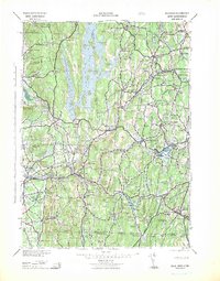 1942 Ware1942 Print · USGSCentral Massachusetts and the Connecticut border are captured here during the early years of the war, just as the landscape was being reshaped by the Quabbin Reservoir. Researchers can trace rail-era industry and local landmarks like the Lead Mine and the Bald Peak Hospital.
 - 1944 Map of Hampden
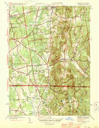 1944 Hampden1944 Print · USGSThe Massachusetts-Connecticut borderlands come to life in the 1940s, showing the early suburban growth around Sixteen Acres and Hampden. Genealogists can locate family landmarks like Adams Cem, Wilbraham Academy, and the village of Baptist Village.4 unique versions available
 - 1946 Map of Monson
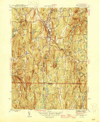 1946 Monson1946 Print · USGSMonson and the Massachusetts-Connecticut borderland are shown here at the close of the Second World War. Genealogists and local historians can trace the Central Vermont rail line through South Monson, locate the Butler Cem, or find the site of the Brimfield CCC Camp.
 - 1946 Map of Hampden, 1956 Print
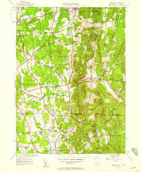 1946 Hampden1956 Print · USGSThe Massachusetts-Connecticut borderlands appear here in the mid-forties, showing a mix of established academy towns and expanding residential pockets. Trace the historical roots of Baptist Village, locate the grounds of Wilbraham Academy, or find the secluded Glendale Ch among the eastern hills.
 - 1948 Map of Albany, 1951 Print
 1948 Albany1951 Print · USGSThe Hudson and Connecticut River valleys are captured here in the late 1940s, showing the vital rail and water corridors of the Northeast. You can trace the Boston and Maine tracks past Mt Greylock or locate early settlements like Great Barrington and Bennington.
 - 1953 Map of Monson, 1954 Print
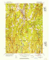 1953 Monson1954 Print · USGSMonson and the Massachusetts-Connecticut borderlands are detailed here in the early fifties, following the Central Vermont rail corridor. Genealogists can trace burial sites like Butler Cem and old family roads including Munn Road and Hollow Road.3 unique versions available
 - 1956 Map of Albany, 1968 Print
 1956 Albany1968 Print · USGSThe industrial heart of the Northeast is revealed in the mid-1950s, from the Hudson Valley to the Connecticut River. Researchers can trace the legacy of the Quabbin Reservoir, locate Westover Air Force Base, or follow the Rutland RR through the Green Mountains.2 unique versions available
 - 1957 Map of Albany
 1957 Albany1957 Print · USGSThe Tri-State region and Connecticut River Valley are captured here during a period of significant postwar growth and infrastructure expansion. Genealogists and historians can trace the rail-and-river economy through landmarks like the Boston and Maine railroad, Quabbin Reservoir, and Westover Air Force Base.
 - 1958 Map of Hampden, 1960 Print
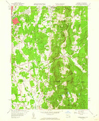 1958 Hampden1960 Print · USGSThe Massachusetts-Connecticut borderlands appear here in the late fifties, showing the residential expansion of Springfield meeting the steep ridge of the Wilbraham Mountains. Researchers can trace old family landmarks and civic sites like Wilbraham Academy, the Landing Field, and Woodland Dell Cem.5 unique versions available
 - 1959 Map of Albany
 1959 Albany1959 Print · USGSThe Hudson and Connecticut River valleys are captured here during the late fifties, showing the region's dense rail networks and massive water projects. Researchers can trace the New York State Thruway or locate local landmarks like Mt Greylock and the Quabbin Reservoir.
 - 1962 Map of Albany
 1962 Albany1962 Print · USGSThe Hudson and Connecticut River valleys meet the Green Mountains and Berkshires in this mid-century overview of the Northeast. Genealogists and historians can trace the industrial hearts of Albany and Springfield or locate features like Quabbin Reservoir and Westover Air Force Base.
 - 1967 Map of Monson, 1969 Print
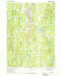 1967 Monson1969 Print · USGSAcross the Massachusetts-Connecticut line in the 1960s, this area shows a landscape of deep forests and narrow rail-side valleys. Researchers can locate family landmarks like Hillside Cem, trace the Central Vermont tracks, or explore the Staffordville Reservoir shoreline.5 unique versions available
 - 1975 Map of Monson, 1981 Print
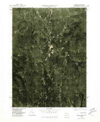 1975 Monson1981 Print · USGSCovers Hampden, including Stafford, Monson, and other nearby areas
 - 1975 Map of Hampden, 1981 Print
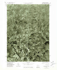 1975 Hampden1981 Print · USGSThe Massachusetts-Connecticut borderlands appear in sharp detail in the mid-1970s, showcasing the transition from valley to upland. Trace property lines and land use across the Wilbraham Mountains and through settlements like Baptist Village and Hampden.
 - 1985 Map of Holyoke, 1986 Print
 1985 Holyoke1986 Print · USGSThe Pioneer Valley and surrounding uplands appear here in the mid-eighties, showing a landscape defined by the Connecticut River and modern highway expansion. Genealogists and historians can trace rail lines like the Central Vermont Railway and locate regional landmarks from Mount Tom State Reservation to the Quabbin Reservoir.2 unique versions available
 - 2012 Map of Hampden, 2012 Print
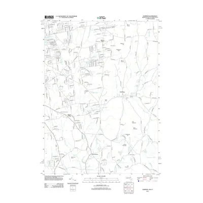 2012 Hampden2012 Print · USGSThe borderlands of Massachusetts and Connecticut are captured here in the early twenty-first century as suburban growth meets the Pioneer Valley's peaks. Researchers can locate family roots at The Old Cem or Baptist Village and trace the paths of the Scantic River and S Br Mill River.
 - 2012 Map of Monson, 2012 Print
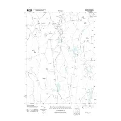 2012 Monson2012 Print · USGSThe Massachusetts-Connecticut borderlands come into focus in the early twenty-first century, centered on the mill-and-mountain corridor of Monson. Researchers can trace local heritage through South Factory Village, Butler Cem, and Echo Hill Orchards.
Showing maps 1-25 of 33
Top cities near Hampden
- Springfield historical maps
- Chicopee historical maps
- Enfield historical maps
- Holyoke historical maps
- Vernon historical maps
- Windsor historical maps
See more
Frequently asked questions
- What are the different types of historical maps available for Hampden?
- What is the oldest map of Hampden?
- Where can I purchase historical maps of Hampden for my home or office?
- Where can I download high-res historical maps of Hampden?
- Are there historical topographic maps available for Hampden?
- Is there historical aerial imagery available for Hampden?
- Where are historical maps of Hampden sourced from?