Old Maps of Russell, Massachusetts for Academic Research
Study the evolution of Russell with 59 high-resolution historic maps. Whether you're teaching, researching, or modeling changes in land use, these maps provide essential visual documentation of urban, environmental, and geographic change.
- Analyze long-term change: Track patterns in development, transportation, and natural features.
- Ideal for environmental or urban studies: Support academic projects with primary historical map data.
- Use in the classroom or lab: Educators and researchers rely on these maps to bring historical context to life.
These maps are a powerful tool for teaching, research, and visualizing how Russell has changed over the decades.
Russell, MA maps
(59)- 1887 Map of Granville
 1887 Granville1887 Print · USGSHampden County's river valleys and rugged uplands are captured here in the late nineteenth century as industry and railroads transformed the terrain. Trace family-named landmarks and infrastructure like Ore Hill, the Borden Br. Res., and the Boston and Albany Railroad.
 - 1889 Map of Granville
 1889 Granville1889 Print · USGSThe hill towns of Hampden County are shown here in the late nineteenth century, capturing a period of upland farming and early industrial rail. Researchers can trace the Boston and Albany Railroad through the Westfield River valley or locate family sites in North Blandford and East Granville.
 - 1893 Map of Granville
 1893 Granville1893 Print · USGSHampden County and the northern Connecticut border are captured here in the late nineteenth century as the regional rail network matured. Genealogists and local historians can trace the early homesteads and hamlets of Blandford, Granville, and West Parish, while locating landmarks like Ore Hill and Salmon Falls.
 - 1895 Map of Granville
 1895 Granville1895 Print · USGSWestern Massachusetts and northern Connecticut hill towns are captured in the 1890s, revealing a landscape of remote mountain hamlets and early river railroads. Genealogists can trace family holdings near East Granville, North Blandford, and the distinct peaks of Liberty Hill or Winchell Mtn.8 unique versions available
 - 1896 Map of Holyoke
 1896 Holyoke1896 Print · USGSThe Pioneer Valley and the eastern Berkshire foothills thrive in the 1890s as a complex network of industrial towns and upland farming communities. Historians can trace early infrastructure through the Bisbee Mill, the Agricultural College, and the prominent Ox Bow on the Connecticut River.
 - 1897 Map of Holyoke
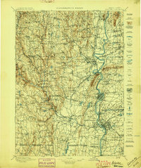 1897 Holyoke1897 Print · USGSThe Pioneer Valley and surrounding highlands thrive in the 1890s, caught here at the height of the region's industrial and agricultural development. Genealogists and historians can trace family roots through dozens of hill towns and river settlements, from Agricultural College in Amherst to the mills of Holyoke and the remote tracks of the Athol Br. R. R..
 - 1901 Map of Holyoke
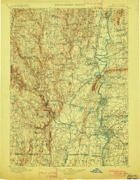 1901 Holyoke1901 Print · USGSThe Pioneer Valley and surrounding highlands thrive at the turn of the century, showing a landscape defined by mill towns and early rail networks. Genealogists and historians can trace old homesteads and local landmarks like Bisbee Mill, South Ferry, and the Agricultural College.4 unique versions available
 - 1937 Map of Southwick
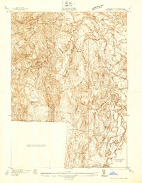 1937 Southwick1937 Print · USGSHampden County's borderlands are captured in the late 1930s, showing the early infrastructure and rural character of this Massachusetts-Connecticut corridor. Local historians can trace old transit lines like the New York and New Haven Road and identify ancestral sites at Granville Cem or the Northeast Cem.
 - 1937 Map of Woronoco
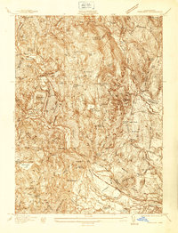 1937 Woronoco1937 Print · USGSThe Westfield River valley and the hills of Hampden County are shown here as they appeared in the years before World War II. Researchers can trace the path of the Abandoned Canal, explore the Westfield Marble Quarries, or locate family sites near St Thomas Cem and the New State Sch.
 - 1942 Map of Southwick
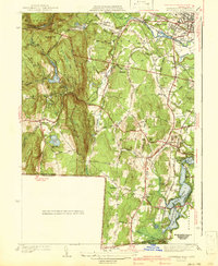 1942 Southwick1942 Print · USGSSouthwick and the surrounding hill towns are shown here just before the mid-century, where the rail line still hugged the edge of the Congamond Lakes. Researchers can trace old family sites and local industry, from the Southwick Ch to a small Tannery and the West Parish Filters.2 unique versions available
 - 1942 Map of Woronoco
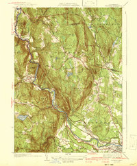 1942 Woronoco1942 Print · USGSThe Berkshires meet industrial river valleys in the early 1940s, where the railroad and river define local life. Trace historic marble extraction at the Marble Quarries or find family roots at Clarks Cem and settlements like Woronoco Heights.2 unique versions available
 - 1943 Map of Holyoke
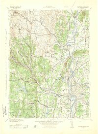 1943 Holyoke1943 Print · USGSThe Pioneer Valley and the eastern Berkshires are captured here in the early 1940s, showing a robust network of river-side industry and hill-country forests. Researchers can locate vanished landmarks and institutional grounds like Northampton State Hospital, Barnes Airport, and the Nat Gd Rifle Range.
 - 1946 Map of Blandford
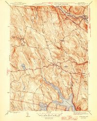 1946 Blandford1946 Print · USGSBlandford and Huntington are captured here in the mid-1940s, a period defined by the expansion of reservoirs and old mountain turnpikes. Researchers can trace the General Knox Trail, locate the North Blandford Cem, and study the industrial rail lines of the Boston and Albany RR.2 unique versions available
 - 1946 Map of West Granville
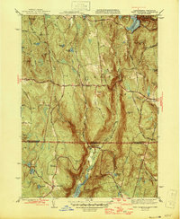 1946 West Granville1946 Print · USGSThe Massachusetts-Connecticut borderlands are captured here in the mid-1940s as the regional landscape was being reshaped by large-scale water projects. Genealogists and local historians can trace family-named roads and landmarks like Tolland Cem, Hartland Sch, and the Booth Hill Fire Tower.2 unique versions available
 - 1947 Map of Southwick
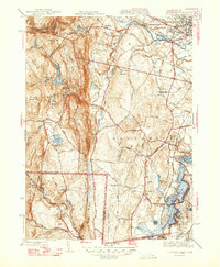 1947 Southwick1947 Print · USGSHampden County and the northern Connecticut border are captured in the late 1940s, a time when rail travel still defined local transit. Researchers can trace the New Haven and Hartford RR through Southwick Depot or locate family roots at Pine Hill Cem and the Southwick Ch.3 unique versions available
 - 1948 Map of Southwick
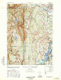 1948 Southwick1948 Print · USGSThe borderlands between Hampden and Hartford counties come alive in this late 1940s survey of the Congamond area. Genealogists can trace family footprints near Pine Hill Cem or the Southwick Depot, while exploring the rural roads connecting Mundale and Gillett Corner.
 - 1948 Map of Albany, 1951 Print
 1948 Albany1951 Print · USGSThe Hudson and Connecticut River valleys are captured here in the late 1940s, showing the vital rail and water corridors of the Northeast. You can trace the Boston and Maine tracks past Mt Greylock or locate early settlements like Great Barrington and Bennington.
 - 1951 Map of Woronoco
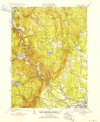 1951 Woronoco1951 Print · USGSThe Westfield River valley in the early 1950s shows a landscape of industrial hamlets and mountain trails. Genealogists can trace family landmarks like St Thomas Cem, Montgomery Ch, and the Wyben Sch nestled among the Berkshire foothills.3 unique versions available
 - 1955 Map of Blandford, 1956 Print
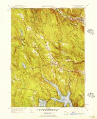 1955 Blandford1956 Print · USGSHampden County's upland terrain is shown here during a period of major infrastructure expansion in the mid-fifties. Researchers can locate remote family burial sites like Warfield Cem and trace the route of the Mass Turnpike as it carves through the Blandford State Forest.3 unique versions available
 - 1955 Map of West Granville, 1957 Print
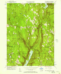 1955 West Granville1957 Print · USGSThe Massachusetts and Connecticut borderlands appear here in the mid-1950s, characterized by vast state forests and major reservoir projects. Genealogists can trace family names and local landmarks like Tolland Cem, Hartland Sch, and the West Granville village center.2 unique versions available
 - 1956 Map of Albany, 1968 Print
 1956 Albany1968 Print · USGSThe industrial heart of the Northeast is revealed in the mid-1950s, from the Hudson Valley to the Connecticut River. Researchers can trace the legacy of the Quabbin Reservoir, locate Westover Air Force Base, or follow the Rutland RR through the Green Mountains.2 unique versions available
 - 1957 Map of Albany
 1957 Albany1957 Print · USGSThe Tri-State region and Connecticut River Valley are captured here during a period of significant postwar growth and infrastructure expansion. Genealogists and historians can trace the rail-and-river economy through landmarks like the Boston and Maine railroad, Quabbin Reservoir, and Westover Air Force Base.
 - 1958 Map of Southwick, 1960 Print
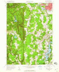 1958 Southwick1960 Print · USGSThe Massachusetts-Connecticut border at the end of the fifties reveals a landscape of wooded ridges and active lakeside communities. Genealogists and locals can trace family roots through Mundale, Gillett Corner, and the Congamond Lakes near Babbs Beach.2 unique versions available
 - 1959 Map of Albany
 1959 Albany1959 Print · USGSThe Hudson and Connecticut River valleys are captured here during the late fifties, showing the region's dense rail networks and massive water projects. Researchers can trace the New York State Thruway or locate local landmarks like Mt Greylock and the Quabbin Reservoir.
 - 1962 Map of Albany
 1962 Albany1962 Print · USGSThe Hudson and Connecticut River valleys meet the Green Mountains and Berkshires in this mid-century overview of the Northeast. Genealogists and historians can trace the industrial hearts of Albany and Springfield or locate features like Quabbin Reservoir and Westover Air Force Base.
Showing maps 1-25 of 59
Top cities near Russell
- Chicopee historical maps
- Westfield historical maps
- Holyoke historical maps
- Northampton historical maps
- Agawam historical maps
- West Springfield historical maps
See more
Top neighborhoods of Russell
- Camp Woronoak historical maps
- Crescent Mills historical maps
- South Quarter historical maps
- Woronoco Heights historical maps
- Woronoco historical maps
Frequently asked questions
- What are the different types of historical maps available for Russell?
- What is the oldest map of Russell?
- Where can I purchase historical maps of Russell for my home or office?
- Where can I download high-res historical maps of Russell?
- Are there historical topographic maps available for Russell?
- Is there historical aerial imagery available for Russell?
- Where are historical maps of Russell sourced from?