Old Maps of Ware, Massachusetts for Hiking & Exploration
Hike through history with 63 historic maps of Ware. Explore old trails, ghost towns, and forgotten backroads — perfect for outdoor adventurers and local explorers.
- Rediscover forgotten places: Map out old mining camps, roads, and footpaths that no longer exist on modern maps.
- Layer with modern tools: Combine with LiDAR or satellite views to plan hikes through historical terrain.
- Made for exploration: Popular among hikers, overlanders, and local history lovers.
Use these maps to find adventure and explore the hidden past of Ware.
Ware, MA maps
(63)- 1887 Map of Brookfield
 1887 Brookfield1887 Print · USGSWorcester County is shown in the late nineteenth century as a hub of manufacturing villages and developing rail lines. Genealogists can trace family roots through settlements like Fiskdale, Leadmine, and Sandersdale, or locate landmarks such as Steerage Rock.
 - 1887 Map of Palmer
 1887 Palmer1887 Print · USGSHampden County's industrial river valleys thrive in the late nineteenth century as rail and water power converge. Genealogists and historians can trace the growth of Three Rivers, locate the Alms House near Palmer, and identify old mill sites like Ellis Mills.
 - 1887 Map of Belchertown
 1887 Belchertown1887 Print · USGSThe Swift River valley is shown here in the late 1880s, before the landscape was transformed. Researchers can trace the original rail lines of the Boston & Albany R. R. and locate the lost streets of Enfield, Greenwich, and Prescott.
 - 1887 Map of Barre
 1887 Barre1887 Print · USGSWorcester County at the turn of the century shows a landscape defined by the convergence of rail lines and river power. Genealogists and local researchers can trace the early industrial footprints of Old Furnace, Parkers Mills, and the rail junction at Cold Brook Springs.
 - 1889 Map of Palmer
 1889 Palmer1889 Print · USGSHampden County and the surrounding valley are shown here in the 1880s as a thriving hub of rail and water-powered industry. Genealogists and historians can trace the foundations of local commerce through landmarks like Ellis Mills, the State Alms House, and the Granite Quarry.
 - 1889 Map of Barre
 1889 Barre1889 Print · USGSWorcester County in the late nineteenth century is a landscape of thriving mill villages and intersecting rail lines. Trace the industrial roots of Gilbertville and Old Furnace or locate family homesteads near Mandell and Nichewaug.
 - 1890 Map of Belchertown
 1890 Belchertown1890 Print · USGSThe Swift River valley is seen here in the late nineteenth century, long before the creation of the Quabbin Reservoir. Genealogists and local historians can trace the vanished streets of Enfield, Greenwich, and North Dana, or follow the old Boston & Albany R. R. line.
 - 1890 Map of Brookfield
 1890 Brookfield1890 Print · USGSCentral Massachusetts and the Connecticut border lands are captured here in the late nineteenth century, showing a landscape defined by water power and rail. You can trace the Boston and Albany Railroad corridor and explore industrial pockets like Globe Village and the historic Leadmine site.
 - 1893 Map of Palmer
 1893 Palmer1893 Print · USGSHampden County and its surrounding borders are captured here during a peak era of rail expansion and water-powered industry. Researchers can trace the junction of major lines at Barretts Junction or locate vanished industrial hamlets like Duckville and Ellis Mills.9 unique versions available
 - 1893 Map of Belchertown
 1893 Belchertown1893 Print · USGSThe Swift River valley is shown here in the 1890s, years before the landscape was fundamentally altered. Genealogists can trace family homes and rail routes through Enfield, Prescott, North Dana, and the Boston & Albany R R.8 unique versions available
 - 1893 Map of Brookfield
 1893 Brookfield1893 Print · USGSCentral Massachusetts in the late 1800s was a landscape defined by bustling mill towns and the critical Boston and Albany Railroad corridor. Genealogists can trace family roots in early industrial centers like Fiskdale and Westville or locate the old Lead Mine near Holland.7 unique versions available
 - 1894 Map of Barre
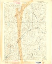 1894 Barre1894 Print · USGSWorcester County in the late nineteenth century is defined here by its bustling river towns and the convergence of two major rail lines. Researchers can trace ancestral roots through family-named landmarks like Hawes Hill or explore the early industrial layout of Old Furnace and Barre Plains.7 unique versions available
 - 1908 Map of Ware
 1908 Ware1908 Print · USGSCentral Massachusetts at the turn of the century reveals the Swift River Valley decades before the Quabbin Reservoir changed the landscape forever. Trace the lost footprints of Enfield and Dana, or follow the Central Vermont RR through Greenwich Village and Ware.2 unique versions available
 - 1915 Map of Brookfield
 1915 Brookfield1915 Print · USGSCentral Massachusetts and the Connecticut border are captured in the final months of the pre-war era, showing a dense network of textile villages and rail lines. Genealogists and local historians can trace the growth of Southbridge or locate landmarks like the Electric Power Relay Station and Lead Mine Mountain.
 - 1919 Map of Palmer
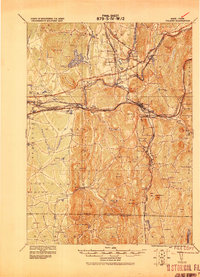 1919 Palmer1919 Print · USGSHampden County and the Connecticut borderlands are captured here during the height of the steam-rail era. Genealogists and historians can trace the foundations of local industry at Fosketts Mill, the Granite Quarry, and the sprawling Monson State Hospital.
 - 1921 Map of Brookfield
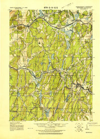 1921 Brookfield1921 Print · USGSMassachusetts and Connecticut borderlands appear here in the early twentieth century as a complex landscape of hill farms, industrial villages, and rail corridors. Genealogists can locate family landmarks like Foster Hill or trace the early industrial footprint of Leadmine and the Boston and Albany Railroad.
 - 1942 Map of Ware
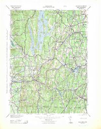 1942 Ware1942 Print · USGSCentral Massachusetts and the Connecticut border are captured here during the early years of the war, just as the landscape was being reshaped by the Quabbin Reservoir. Researchers can trace rail-era industry and local landmarks like the Lead Mine and the Bald Peak Hospital.
 - 1943 Map of Brookfield
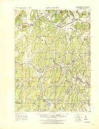 1943 Brookfield1943 Print · USGSCentral Massachusetts at the height of the war era shows a landscape of busy rail towns and upland ponds. Genealogists and historians can trace family-named peaks like Coys Hill and old industry along the Boston and Albany RR or near Southbridge.
 - 1944 Map of Winsor Dam
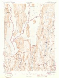 1944 Winsor Dam1944 Print · USGSIn the early 1940s, the Swift River Valley was recently transformed into a critical water resource for Massachusetts. Local historians can trace the new shoreline and legacy sites like the Quabbin Park Cem, Winsor Dam, and the hilltop Lookout on Quabbin Hill.3 unique versions available
 - 1946 Map of Palmer
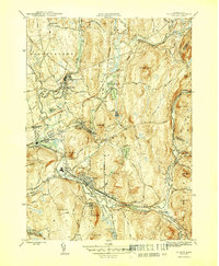 1946 Palmer1946 Print · USGSHampden County in the mid-1940s is defined by a dense network of river-driven industrial villages and major rail junctions. Researchers can trace the busy corridors of the Boston and Albany RR through the village of Three Rivers or locate the State Fish Hatchery and Landing Field.4 unique versions available
 - 1946 Map of Warren
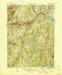 1946 Warren1946 Print · USGSMid-century Worcester County comes to life along the Quaboag River valley just after the war. Local historians can trace the industrial corridor of the Boston and Albany RR through West Warren and locate landmarks like St Marys Cem or Schoolhouse No 4.3 unique versions available
 - 1946 Map of Ware
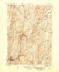 1946 Ware1946 Print · USGSCentral Massachusetts was a landscape of river-powered industry and upland farms in the years following the war. Genealogists and historians can trace rail-to-river connections through Gilbertville, locate rural landmarks like School No 2, and explore the terrain around Wickaboag Pond.2 unique versions available
 - 1947 Map of Palmer
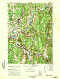 1947 Palmer1947 Print · USGSHampden County's industrial heartland is captured here just after the war, showing the vital confluence of four rivers. Researchers can trace the complex rail networks of the Boston and Maine RR and locate legacy sites like the State Hospital and Thorndike.
 - 1948 Map of Albany, 1951 Print
 1948 Albany1951 Print · USGSThe Hudson and Connecticut River valleys are captured here in the late 1940s, showing the vital rail and water corridors of the Northeast. You can trace the Boston and Maine tracks past Mt Greylock or locate early settlements like Great Barrington and Bennington.
 - 1952 Map of Winsor Dam, 1953 Print
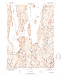 1952 Winsor Dam1953 Print · USGSHampshire and Worcester Counties are seen here in the early fifties following the transformative creation of the reservoir. Genealogists and researchers can trace the new shoreline and legacy landmarks like Winsor Dam, Quabbin Park, and West Ware.4 unique versions available
Showing maps 1-25 of 63
Top cities near Ware
- Springfield historical maps
- Amherst historical maps
- Ludlow historical maps
- Southbridge historical maps
- East Longmeadow historical maps
- Wilbraham historical maps
See more
Top neighborhoods of Ware
- Ware Center historical maps
- West Ware historical maps
- Gibbs Crossing historical maps
- Church Street Historic District historical maps
- Ware Millyard Historic District historical maps
- Ware Center Historic District historical maps
Frequently asked questions
- What are the different types of historical maps available for Ware?
- What is the oldest map of Ware?
- Where can I purchase historical maps of Ware for my home or office?
- Where can I download high-res historical maps of Ware?
- Are there historical topographic maps available for Ware?
- Is there historical aerial imagery available for Ware?
- Where are historical maps of Ware sourced from?