2000s (21st Century) Maps of Pepperell, Massachusetts
Explore 10 historic maps of Pepperell from the 2000s (21st Century). These maps offer a rare glimpse into what life looked like during the 2000s — showing old roads, neighborhoods, homes, and landmarks that have changed or disappeared over time.
Whether you're researching your family's past, planning a metal detecting trip, or studying how Pepperell's landscape evolved across the 2000s, these high-resolution maps are a powerful tool for exploring the history of this region.
- Focus on a specific era: All maps on this page are from the 2000s, giving you a focused view of this time period.
- See what’s changed: Compare century-old streets, trails, and buildings to today's modern landscape using overlays and satellite layers.
- Research with precision: Use these maps for genealogy, historical research, land use analysis, or educational projects.
- View, download, or print: Maps are fully viewable online in high resolution, and can be downloaded or printed for your own records.
Start exploring Pepperell's history through authentic maps from the 2000s. This is your window into the past.
Pepperell, MA maps
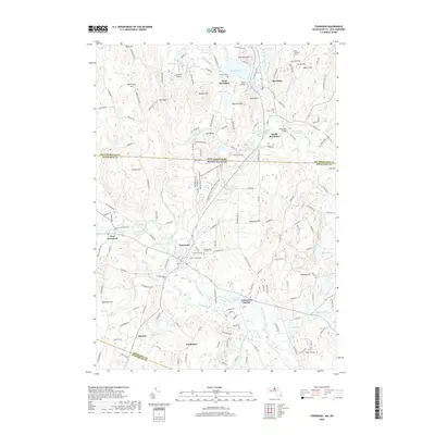
(10)- 2012 Map of Townsend, 2012 Print
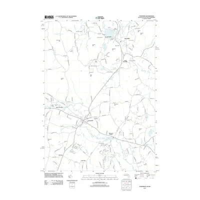 2012 Townsend2012 Print · USGSCovers Pepperell, including Groton, Lunenburg, and other nearby areas
 - 2012 Map of Pepperell, 2012 Print
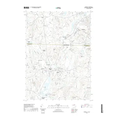
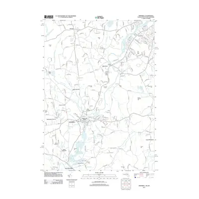 2012 Pepperell2012 Print · USGSCovers Pepperell, including Nashua, Groton, and other nearby areas
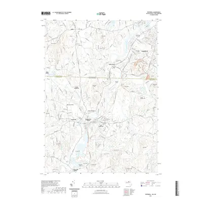
 - 2015 Map of Pepperell, 2015 Print
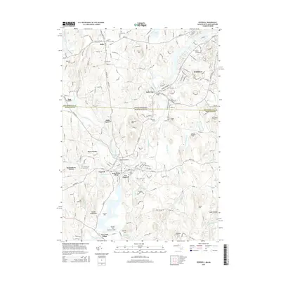 2015 Pepperell2015 Print · USGSCovers Pepperell, including Nashua, Groton, and other nearby areas
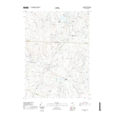
 - 2015 Map of Townsend, 2015 Print
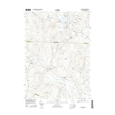 2015 Townsend2015 Print · USGSCovers Pepperell, including Groton, Lunenburg, and other nearby areas
 - 2018 Map of Townsend, 2018 Print
 2018 Townsend2018 Print · USGSCovers Pepperell, including Groton, Lunenburg, and other nearby areas
 - 2018 Map of Pepperell, 2018 Print
 2018 Pepperell2018 Print · USGSCovers Pepperell, including Nashua, Groton, and other nearby areas
 - 2021 Map of Townsend, 2021 Print
 2021 Townsend2021 Print · USGSCovers Pepperell, including Groton, Lunenburg, and other nearby areas
 - 2021 Map of Pepperell, 2021 Print
 2021 Pepperell2021 Print · USGSCovers Pepperell, including Nashua, Groton, and other nearby areas
 - 2024 Map of Pepperell, 2024 Print
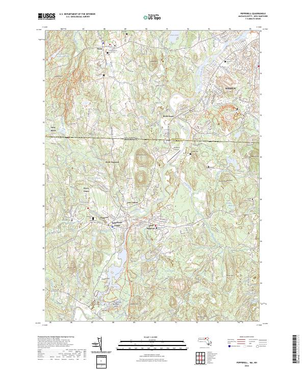 2024 Pepperell2024 Print · USGSThe Nashua River valley at the New Hampshire border shows a landscape of deep-rooted settlements and modern conservation. Researchers can trace family history through sites like Saint Louis De Gonzagues Cem or explore old rail corridors at Hollis Depot and the Nashua River Rail Trail.
 - 2024 Map of Townsend, 2024 Print
 2024 Townsend2024 Print · USGSThe borderlands of Middlesex and Hillsborough counties are shown here in modern detail, focusing on the river-linked towns of Townsend and Brookline. Researchers can trace historic burial sites like the Old Burying Ground or follow the path of the Mason NH Rail Trail ext. Tri.
End of results
Showing maps 1-10 of 10
Top cities near Pepperell
- Lowell historical maps
- Nashua historical maps
- Leominster historical maps
- Fitchburg historical maps
- Chelmsford historical maps
- Dracut historical maps
See more
Top neighborhoods of Pepperell
- Babbatasset Village historical maps
- East Pepperell historical maps
- Four Corners historical maps
- Hovey Corner historical maps
- North Pepperell historical maps
- South Pepperell historical maps
Frequently asked questions
- What are the different types of historical maps available for Pepperell?
- What is the oldest map of Pepperell?
- Where can I purchase historical maps of Pepperell for my home or office?
- Where can I download high-res historical maps of Pepperell?
- Are there historical topographic maps available for Pepperell?
- Is there historical aerial imagery available for Pepperell?
- Where are historical maps of Pepperell sourced from?