Old Maps of Wakefield, Massachusetts for Academic Research
Study the evolution of Wakefield with 38 high-resolution historic maps. Whether you're teaching, researching, or modeling changes in land use, these maps provide essential visual documentation of urban, environmental, and geographic change.
- Analyze long-term change: Track patterns in development, transportation, and natural features.
- Ideal for environmental or urban studies: Support academic projects with primary historical map data.
- Use in the classroom or lab: Educators and researchers rely on these maps to bring historical context to life.
These maps are a powerful tool for teaching, research, and visualizing how Wakefield has changed over the decades.
Wakefield, MA maps
(38)- 1886 Map of Lawrence
 1886 Lawrence1886 Print · USGSThe Merrimack Valley at the close of the nineteenth century was a bustling hub of industry and transit. Researchers can trace ancestral roots through vanished hamlets like Frye Village, locate the original Andover Theological Seminary, and follow the old Salem and Lawrence Railroad line.
 - 1888 Map of Lawrence
 1888 Lawrence1888 Print · USGSThe Merrimack Valley industrial corridor is captured here in the late nineteenth century as a thriving rail and textile hub. Researchers can trace the footprints of the Andover Theological Seminary, locate the State Almshouse, and follow the iron tracks through Ballardvale.
 - 1893 Map of Boston
 1893 Boston1893 Print · USGSGreater Boston and the Massachusetts coast are captured here in the late nineteenth century as streetcar suburbs and rail lines redefined the region. Trace family roots and local history across old neighborhoods like Washington Village, coastal landmarks like Fort Independence, and the sprawling Middlesex Fells.4 unique versions available
 - 1893 Map of Lawrence
 1893 Lawrence1893 Print · USGSThe Merrimac River valley and its surrounding textile and rail hubs are captured here at their industrial peak during the 1880s. Genealogists can trace family footprints through the State Almshouse, the Andover Theological Seminary, and vanished stops like Burtts Crossing Station.10 unique versions available
 - 1903 Map of Boston
 1903 Boston1903 Print · USGSThe Greater Boston area and its sprawling rail-and-river network are captured here at the turn of the century. Genealogists and historians can trace neighborhood blocks, the grounds of Tufts College, and military landmarks like Ft. Winthrop and Ft. Independence.13 unique versions available
 - 1918 Map of Lawrence
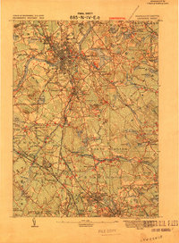 1918 Lawrence1918 Print · USGSGreater Lawrence and the Merrimac Valley are captured here during the late First World War era, showing a landscape defined by industrial rail and historic village centers. Researchers can trace the sprawling Boston and Maine Railroad network to specific sites like the State Almshouse or the Andover Theological Seminary.2 unique versions available
 - 1943 Map of Boston
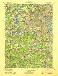 1943 Boston1943 Print · USGSGreater Boston and its southern suburbs appear here during the mobilization of the early 1940s. Genealogists and historians can trace the early footprints of Commonwealth Airport, military sites like Fort Winthrop, and local institutions such as Pondville State Hospital.
 - 1943 Map of Lowell
 1943 Lowell1943 Print · USGSCentral New England industrial hubs and rural borderlands are mapped here during the early 1940s. Genealogists can trace family names across Mt Misery, Barrett Hill, and small settlements like Collinsville or North Pelham.
 - 1943 Map of Boston North
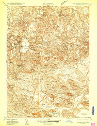 1943 Boston North1943 Print · USGSGreater Boston's northern suburbs and industrial waterfronts appear in high detail during the early 1940s. Genealogists and historians can trace the limits of neighborhoods like Orient Heights and find landmarks like Tufts College and the Mass Soldiers Home.
 - 1944 Map of Reading
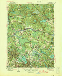 1944 Reading1944 Print · USGSReading and North Reading are shown here during the height of the Second World War as the region balanced its colonial roots with modern military needs. Researchers can locate the Military Police Camp, historic burial sites like Oakdale Cem, and the tracks of the Boston and Maine RR.2 unique versions available
 - 1946 Map of Boston North
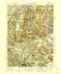 1946 Boston North1946 Print · USGSGreater Boston's northern suburbs emerge in the mid-1940s as a hub of industry and academic life. Genealogists and researchers can trace family plots in Woodlawn Cem or locate historic campuses like Tufts College and Radcliffe College.2 unique versions available
 - 1948 Map of Boston
 1948 Boston1948 Print · USGSEastern Massachusetts and southern New Hampshire appear at an industrial peak in the late 1940s, just as suburban growth began to accelerate. Genealogists and historians can trace rail lines like the Boston and Albany RR or locate coastal landmarks like Graves Lighthouse and Fort Devens.2 unique versions available
 - 1949 Map of Boston North, 1957 Print
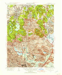 1949 Boston North1957 Print · USGSThe northern Boston suburbs and Middlesex Fells are documented here during the late 1940s as post-war development filled the landscape. Researchers can trace the legacy of local institutions and neighborhoods from the Stoneham Zoological Park to the Naval Hospital and Wyoming Cem.
 - 1951 Map of Reading, 1952 Print
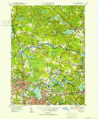 1951 Reading1952 Print · USGSNorth of Boston in the early fifties, the landscape around Reading and Wakefield shows a mix of growing residential centers and military training grounds. You can trace family roots at Lakeside Cem, locate the old Bachelder Sch, or explore the grounds of Camp Curtis Guild.3 unique versions available
 - 1956 Map of Boston North, 1958 Print
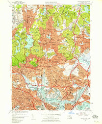 1956 Boston North1958 Print · USGSThe industrial and residential landscape north of Boston comes alive in the mid-fifties, from the shipyards to the suburban fells. Local historians can trace the extensive rail lines of the B & M Yards and landmark sites like the Bunker Hill Monument and Saugus Race Track.3 unique versions available
 - 1956 Map of Boston, 1967 Print
 1956 Boston1967 Print · USGSThe Massachusetts coastline and industrial interior are seen here during the mid-century peak of suburban and highway expansion. Researchers can trace historic harbor defenses like Fort Revere, local landmarks such as Faneuil Hall, and the vast Parker River National Wildlife Refuge.6 unique versions available
 - 1958 Map of Boston
 1958 Boston1958 Print · USGSEastern Massachusetts and southern New Hampshire are shown at the height of the industrial era, before the full expansion of the interstate system. Trace coastal defenses at Fort Warren, historic rail lines like the Boston and Maine, and the development of the Mass. 128 corridor.2 unique versions available
 - 1961 Map of Boston
 1961 Boston1961 Print · USGSThe Massachusetts coastline and its industrial interior are detailed here in the mid-twentieth century, from the Monadnock highlands to Cape Cod. Researchers can trace the rail routes of the Boston and Maine or locate landmarks like Fort Devens and the Wachusett Reservoir.2 unique versions available
 - 1966 Map of Reading, 1968 Print
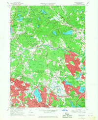 1966 Reading1968 Print · USGSMiddlesex and Essex counties are shown here in the mid-sixties, a period of notable suburban growth surrounding the historic towns of Reading and Wakefield. Researchers can trace family sites near Quannapowitt Lake, the Puritan Lawn Memorial Park, or the sprawling Harold Parker State Forest.2 unique versions available
 - 1971 Map of Boston North, 1973 Print
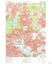 1971 Boston North1973 Print · USGSThe northern reaches of the Massachusetts capital show a landscape of dense suburbs and protected woodlands in the early seventies. Researchers can locate landmark sites like the Bunker Hill Monument, trace the MBTA System rail lines, or explore the grounds of Harvard University and Holy Cross Cemetery.2 unique versions available
 - 1977 Map of Boston North, 1980 Print
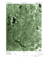 1977 Boston North1980 Print · USGSThe northern suburbs of Boston come into focus in the late 1970s through this detailed orthophotoquad survey. Trace the urban landscape from the Mystic River waterfront to the dense neighborhoods of Malden, Everett, and Revere.
 - 1977 Map of Reading, 1980 Print
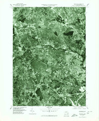 1977 Reading1980 Print · USGSNortheastern Massachusetts towns show their modern footprints in the late seventies as residential growth surrounds traditional river corridors. Trace the development of North Reading, Peabody, and Reading along the Ipswich River.
 - 1984 Map of Lowell
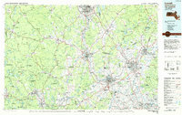 1984 Lowell1984 Print · USGSThe Merrimack Valley industrial corridor is captured here in the mid-eighties, showing the interconnected growth of Lowell, Nashua, and Lawrence. Genealogists and historians can trace the paths of the Boston and Maine railroad or locate institutional landmarks like Merrimack College and the Fort Devens Military Reservation.
 - 1985 Map of Boston, 1986 Print
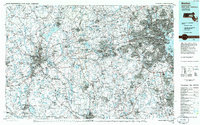 1985 Boston1986 Print · USGSThe Massachusetts urban core and its expanding suburbs are captured in the mid-eighties, showing the reach of the Mass Turnpike and Route 128. Genealogists and historians can trace the evolution of towns from Lexington to Waltham, locating landmarks like Harvard University and Minute Man National Historical Park.
 - 1985 Map of Boston North, 1986 Print
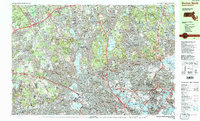 1985 Boston North1986 Print · USGSGreater Boston's northern tier is captured during the mid-eighties, showing the dense intersection of historic college campuses and industrial rail corridors. Genealogists and historians can trace suburban development around Holy Cross Cemetery and the academic grounds of Harvard University or Tufts University.3 unique versions available
Showing maps 1-25 of 38
Top cities near Wakefield
- Boston historical maps
- Lowell historical maps
- Cambridge historical maps
- Quincy historical maps
- Lynn historical maps
- Newton historical maps
See more
Top neighborhoods of Wakefield
Frequently asked questions
- What are the different types of historical maps available for Wakefield?
- What is the oldest map of Wakefield?
- Where can I purchase historical maps of Wakefield for my home or office?
- Where can I download high-res historical maps of Wakefield?
- Are there historical topographic maps available for Wakefield?
- Is there historical aerial imagery available for Wakefield?
- Where are historical maps of Wakefield sourced from?