Old Maps of Wayland, Massachusetts for Genealogy
Trace your family roots with 52 historic maps of Wayland. These high-res maps reveal old neighborhoods, homesites, landmarks, and streets — helping you uncover where your ancestors lived and how the area evolved over time.
- Explore historic neighborhoods: Identify where your relatives may have lived in the 1800s or 1900s.
- Compare maps over time: Trace the changes in streets, buildings, and landmarks for multi-generational research.
- Perfect for genealogy & ancestry research: Used by family historians and researchers to map out lineage and migration.
These maps are an incredible resource for exploring your personal connection to Wayland's past.
Wayland, MA maps
(52)- 1886 Map of Framingham
 1886 Framingham1886 Print · USGSMiddlesex County emerges as a bustling hub of rail transit and water infrastructure at the close of the 1800s. Genealogists and historians can trace family locations near the Mass. State Muster Grounds, the State Prison, or the historic Wayside Inn.
 - 1889 Map of Framingham
 1889 Framingham1889 Print · USGSThe Framingham and Concord region flourished as a late nineteenth-century rail and industrial hub. Genealogists and historians can trace the early layouts of Saxonville, the American Powder Co., and the Mass. State Muster Grounds.
 - 1894 Map of Framingham
 1894 Framingham1894 Print · USGSMiddlesex County in the late nineteenth century is a landscape of thriving rail depots and literary landmarks. Genealogists and historians can trace the foundations of local life at the Wayside Inn, the State Prison, and the Mass. State Muster Grounds.11 unique versions available
 - 1918 Map of Framingham
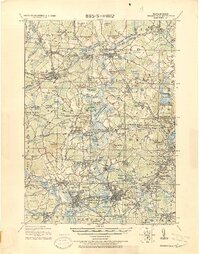 1918 Framingham1918 Print · USGSEastern Massachusetts is seen here as a bustling rail-and-river corridor during the early twentieth century. Genealogists and historians can trace old property lines and landmarks like the Wayside Inn, the State Prison, and Nine Acre Corner.2 unique versions available
 - 1943 Map of Framingham
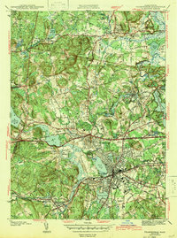 1943 Framingham1943 Print · USGSFramingham and the Sudbury River valley are shown in detail during the early 1940s, highlighting a landscape of reservoirs and rail corridors. Trace the footprints of the State Muster Grounds, the legendary Wayside Inn, and the Saxonville mill district.3 unique versions available
 - 1943 Map of Concord
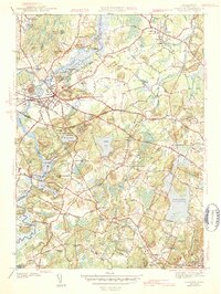 1943 Concord1943 Print · USGSMiddlesex County's revolutionary and literary landscapes are meticulously detailed during the early years of the war. Researchers can trace ancestral sites like Sleepy Hollow Cem or locate historic schools and landmarks such as Middlesex Sch and Old North Bridge.4 unique versions available
 - 1943 Map of Boston
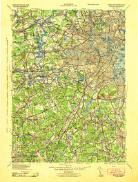 1943 Boston1943 Print · USGSGreater Boston and its southern suburbs appear here during the mobilization of the early 1940s. Genealogists and historians can trace the early footprints of Commonwealth Airport, military sites like Fort Winthrop, and local institutions such as Pondville State Hospital.
 - 1943 Map of Maynard
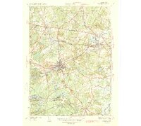 1943 Maynard1943 Print · USGSMiddlesex County at the height of the Second World War shows a landscape defined by the Assabet River and a thriving rail economy. Genealogists and local historians can trace family plots at Mt Hope Cem or study the grounds of the Concord Reformatory.2 unique versions available
 - 1943 Map of Natick
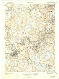 1943 Natick1943 Print · USGSMiddlesex and Norfolk Counties are shown here during the early 1940s as suburban growth began to surround historic town centers. Researchers can trace family sites near Wellesley College, find old burials at South Cem, and follow the Boston and Maine rail lines.5 unique versions available
 - 1948 Map of Boston
 1948 Boston1948 Print · USGSEastern Massachusetts and southern New Hampshire appear at an industrial peak in the late 1940s, just as suburban growth began to accelerate. Genealogists and historians can trace rail lines like the Boston and Albany RR or locate coastal landmarks like Graves Lighthouse and Fort Devens.2 unique versions available
 - 1950 Map of Concord, 1952 Print
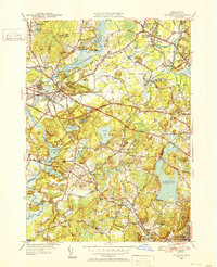 1950 Concord1952 Print · USGSGreater Concord and Lincoln are seen here just after the war, balancing their deep colonial heritage with new aviation and transit infrastructure. Researchers can trace historic cemeteries and rail stops like the Old Burying Ground, Hastings Sta, and Walden Pond State Reservation.4 unique versions available
 - 1950 Map of Maynard, 1952 Print
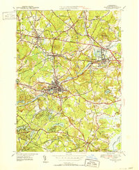 1950 Maynard1952 Print · USGSMiddlesex County's transition from an industrial river-valley hub to a mid-century residential landscape is visible in this mid-century survey. Trace family roots at St Bridgets Cem, follow the rail lines at West Acton, or locate the extensive U S Military Reservation.4 unique versions available
 - 1950 Map of Natick, 1956 Print
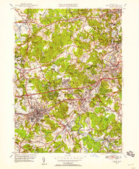 1950 Natick1956 Print · USGSPost-war expansion meets established academic life in this study of the western Boston suburbs. Trace family roots and local growth through Wellesley College, the Boston and Albany RR, and old burial sites like Linwood Cem.3 unique versions available
 - 1950 Map of Framingham, 1959 Print
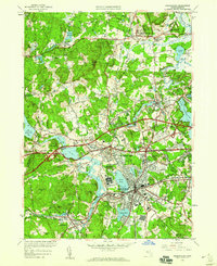 1950 Framingham1959 Print · USGSMid-century Framingham and Sudbury are shown here during a decade of rapid expansion and highway development. Genealogists can locate family landmarks like Wayside Inn, Marys Lamb Sch, and Edgell Grove Cem among the growing suburban tracts.
 - 1956 Map of Boston, 1967 Print
 1956 Boston1967 Print · USGSThe Massachusetts coastline and industrial interior are seen here during the mid-century peak of suburban and highway expansion. Researchers can trace historic harbor defenses like Fort Revere, local landmarks such as Faneuil Hall, and the vast Parker River National Wildlife Refuge.6 unique versions available
 - 1958 Map of Boston
 1958 Boston1958 Print · USGSEastern Massachusetts and southern New Hampshire are shown at the height of the industrial era, before the full expansion of the interstate system. Trace coastal defenses at Fort Warren, historic rail lines like the Boston and Maine, and the development of the Mass. 128 corridor.2 unique versions available
 - 1958 Map of Concord, 1959 Print
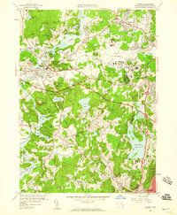 1958 Concord1959 Print · USGSConcord and Lincoln are captured here in the late fifties, balancing their deep Revolutionary roots with a growing mid-century military and academic footprint. Genealogists and historians can locate Sleepy Hollow Cemetery, the original Old Burying Ground, and historic waypoints like Merriams Corner.3 unique versions available
 - 1958 Map of Natick, 1960 Print
 1958 Natick1960 Print · USGSMiddlesex and Norfolk Counties are shown here during a period of rapid suburban maturation in the late fifties. Genealogists and local historians can trace family roots through numerous neighborhood schools and cemeteries like St Patrick Cem, or locate landmarks such as Babson Institute and Lake Cochituate.2 unique versions available
 - 1961 Map of Boston
 1961 Boston1961 Print · USGSThe Massachusetts coastline and its industrial interior are detailed here in the mid-twentieth century, from the Monadnock highlands to Cape Cod. Researchers can trace the rail routes of the Boston and Maine or locate landmarks like Fort Devens and the Wachusett Reservoir.2 unique versions available
 - 1965 Map of Framingham, 1967 Print
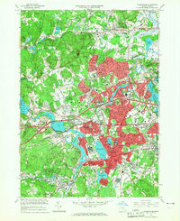 1965 Framingham1967 Print · USGSFramingham and its neighboring townships are seen here during a period of rapid post-war growth and institutional development. Researchers can trace the legacy of local education and industry through Framingham State College, the National Guard Arsenal, and the historic Wayside Inn.2 unique versions available
 - 1965 Map of Maynard, 1967 Print
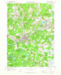 1965 Maynard1967 Print · USGSMid-century Middlesex County highlights a landscape of growing suburbs and deep-rooted industry along the Assabet River. Genealogists and historians can trace the development of Maynard and Sudbury, locating the Concord Reformatory and numerous family-named landmarks like Vose Hill.3 unique versions available
 - 1970 Map of Natick, 1972 Print
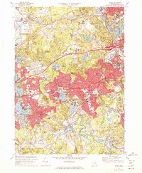 1970 Natick1972 Print · USGSSuburban Boston expands through Middlesex and Norfolk counties in the 1970s, showcasing a landscape of elite universities and crucial water infrastructure. Researchers can trace the Cochituate Aqueduct and locate landmarks like Wellesley College or the Natick Laboratories (U S Army).2 unique versions available
 - 1970 Map of Concord, 1972 Print
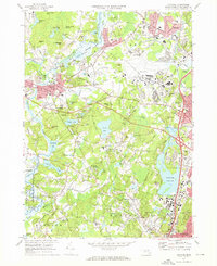 1970 Concord1972 Print · USGSThe revolutionary and literary landscapes of Middlesex County are captured here in the decades following the war. Genealogists and historians can trace family plots in the Old Burying Ground or locate landmarks like Meryams Corner and the Davis Sch.3 unique versions available
 - 1977 Map of Concord, 1981 Print
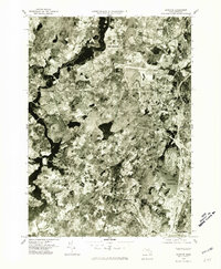 1977 Concord1981 Print · USGSMiddlesex County communities appear in transition during the late seventies, captured in this detailed aerial orthophotoquad. Researchers can trace the exact 1977 footprints of Concord and Lexington or locate the Cambridge Reservoir.
 - 1977 Map of Framingham, 1981 Print
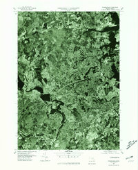 1977 Framingham1981 Print · USGSMiddlesex County emerges in high detail in the late seventies as suburban growth reshapes the landscape west of Boston. Trace the residential layout of Framingham and the industrial footprint near the Sudbury Reservoir and Ashland.
Showing maps 1-25 of 52
Top cities near Wayland
- Boston historical maps
- Cambridge historical maps
- Newton historical maps
- Framingham historical maps
- Brookline historical maps
- Waltham historical maps
See more
Top neighborhoods of Wayland
- Tower Hill historical maps
- Winthrop Village historical maps
- Daymon Farms historical maps
- Wayland Center Historic District historical maps
- Cochituate historical maps
Frequently asked questions
- What are the different types of historical maps available for Wayland?
- What is the oldest map of Wayland?
- Where can I purchase historical maps of Wayland for my home or office?
- Where can I download high-res historical maps of Wayland?
- Are there historical topographic maps available for Wayland?
- Is there historical aerial imagery available for Wayland?
- Where are historical maps of Wayland sourced from?