2000s (21st Century) Maps of Avon, Massachusetts
Explore 10 historic maps of Avon from the 2000s (21st Century). These maps offer a rare glimpse into what life looked like during the 2000s — showing old roads, neighborhoods, homes, and landmarks that have changed or disappeared over time.
Whether you're researching your family's past, planning a metal detecting trip, or studying how Avon's landscape evolved across the 2000s, these high-resolution maps are a powerful tool for exploring the history of this region.
- Focus on a specific era: All maps on this page are from the 2000s, giving you a focused view of this time period.
- See what’s changed: Compare century-old streets, trails, and buildings to today's modern landscape using overlays and satellite layers.
- Research with precision: Use these maps for genealogy, historical research, land use analysis, or educational projects.
- View, download, or print: Maps are fully viewable online in high resolution, and can be downloaded or printed for your own records.
Start exploring Avon's history through authentic maps from the 2000s. This is your window into the past.
Avon, MA maps
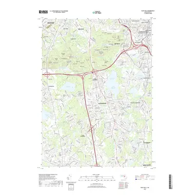
(10)- 2012 Map of Blue Hills, 2012 Print
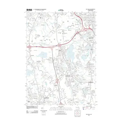 2012 Blue Hills2012 Print · USGSCovers Avon, including Boston, Brockton, and other nearby areas
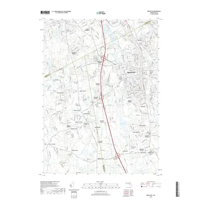
 - 2012 Map of Brockton, 2012 Print
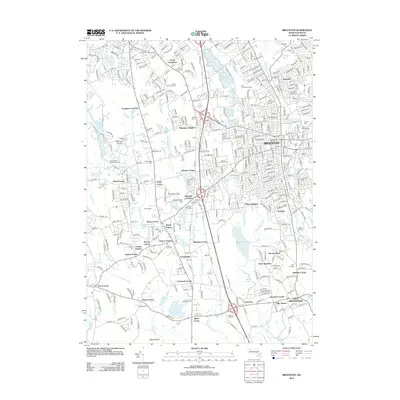 2012 Brockton2012 Print · USGSCovers Avon, including Brockton, Stoughton, and other nearby areas
 - 2015 Map of Blue Hills, 2015 Print
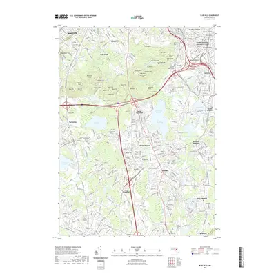
 2015 Blue Hills2015 Print · USGSCovers Avon, including Boston, Brockton, and other nearby areas
 - 2015 Map of Brockton, 2015 Print
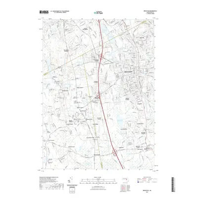
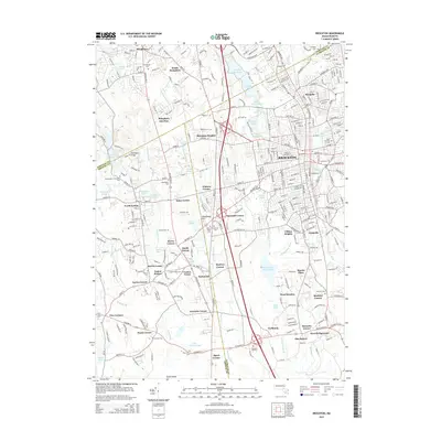 2015 Brockton2015 Print · USGSCovers Avon, including Brockton, Stoughton, and other nearby areas
 - 2018 Map of Brockton, 2018 Print
 2018 Brockton2018 Print · USGSCovers Avon, including Brockton, Stoughton, and other nearby areas
 - 2018 Map of Blue Hills, 2018 Print
 2018 Blue Hills2018 Print · USGSCovers Avon, including Boston, Brockton, and other nearby areas
 - 2021 Map of Brockton, 2021 Print
 2021 Brockton2021 Print · USGSCovers Avon, including Brockton, Stoughton, and other nearby areas
 - 2021 Map of Blue Hills, 2021 Print
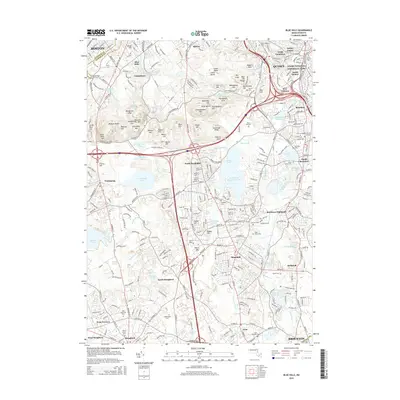
 2021 Blue Hills2021 Print · USGSCovers Avon, including Boston, Brockton, and other nearby areas
 - 2024 Map of Brockton, 2024 Print
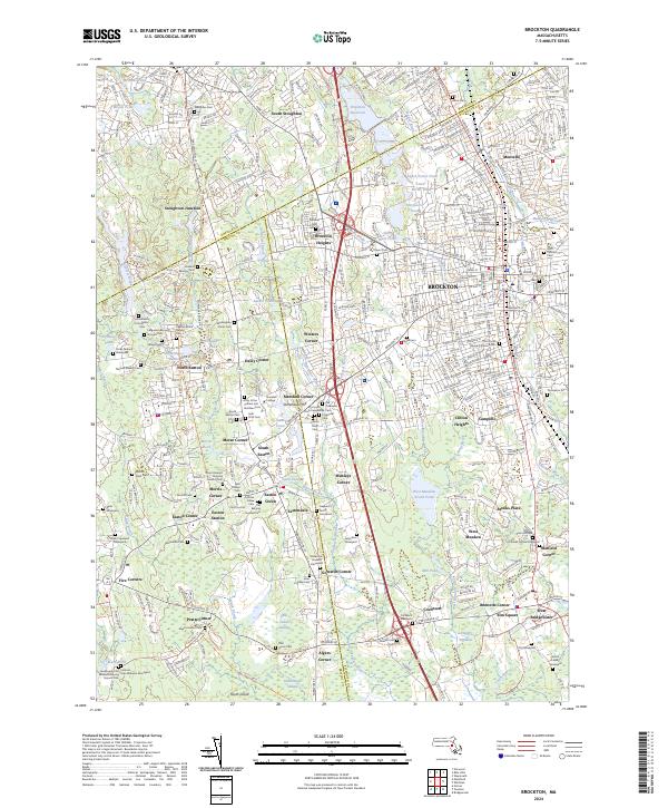 2024 Brockton2024 Print · USGSBrockton and the surrounding townships in the 2020s reveal a landscape deeply layered with local history and institutional growth. Researchers can trace dozens of colonial-era burial sites and local landmarks, from Stonehill College and Melrose Cem to the storied Washington Street Cem.
 - 2024 Map of Blue Hills, 2024 Print
 2024 Blue Hills2024 Print · USGSGreater Boston's southern heights are captured here in the early twenty-first century, showing the dense suburban development surrounding the Blue Hill Range. Local historians can trace ancestral sites at the Curtis Family Cem or study the protected grounds of Adams National Historical Park.
End of results
Showing maps 1-10 of 10
Top cities near Avon
- Boston historical maps
- Cambridge historical maps
- Brockton historical maps
- Quincy historical maps
- Newton historical maps
- Brookline historical maps
See more
Frequently asked questions
- What are the different types of historical maps available for Avon?
- What is the oldest map of Avon?
- Where can I purchase historical maps of Avon for my home or office?
- Where can I download high-res historical maps of Avon?
- Are there historical topographic maps available for Avon?
- Is there historical aerial imagery available for Avon?
- Where are historical maps of Avon sourced from?