Old Maps of Sharon, Massachusetts for Academic Research
Study the evolution of Sharon with 34 high-resolution historic maps. Whether you're teaching, researching, or modeling changes in land use, these maps provide essential visual documentation of urban, environmental, and geographic change.
- Analyze long-term change: Track patterns in development, transportation, and natural features.
- Ideal for environmental or urban studies: Support academic projects with primary historical map data.
- Use in the classroom or lab: Educators and researchers rely on these maps to bring historical context to life.
These maps are a powerful tool for teaching, research, and visualizing how Sharon has changed over the decades.
Sharon, MA maps
(34)- 1886 Map of Dedham
 1886 Dedham1886 Print · USGSNorfolk County and its neighbors are captured here in the late nineteenth century as the rail networks expanded across eastern Massachusetts. Local historians can trace the routes of the Old Colony Railroad and find early village sites like Furnace Village and Sharon Heights.
 - 1894 Map of Dedham
 1894 Dedham1894 Print · USGSGreater Boston's southern suburbs emerge during the late nineteenth century as a dense network of railroad lines and water-powered industrial centers. Genealogists and historians can trace old neighborhoods from Readville and Endicott to the heights of Great Blue Hill.10 unique versions available
 - 1919 Map of Dedham
 1919 Dedham1919 Print · USGSNorfolk County at the close of the Great War reveals a landscape defined by the Blue Hills Reservation and a dense network of industrial rail lines. Genealogists and historians can trace old neighborhood boundaries in Readville and Islington or locate lost trackside stops along the Old Colony RR.
 - 1936 Map of Mansfield
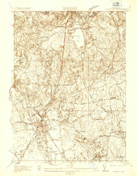 1936 Mansfield1936 Print · USGSMansfield and its neighboring villages are shown during the mid-1930s, when the region functioned as a vital railway hub for the New York New Haven and Hartford RR. Researchers can locate family sites and old landmarks like Furnace Village, St Marys Cem, and the Hartwell Sch.
 - 1936 Map of Norwood
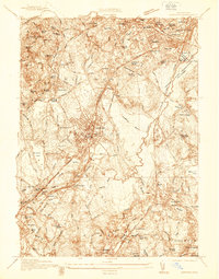 1936 Norwood1936 Print · USGSNorfolk County in the mid-1930s shows a landscape of busy rail corridors and river-powered industry centered on the Neponset River. Genealogists and historians can trace neighborhood growth through local landmarks like Plumptonville, the Colburn Sch, and the Norwood Central Sta.
 - 1941 Map of Mansfield
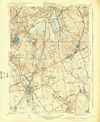 1941 Mansfield1941 Print · USGSThe Norfolk and Bristol county borderlands are shown here just before the mid-century suburban boom, centered on the New York New Haven and Hartford rail corridor. Genealogists and historians can locate old rural corners like Ginty Corner and school sites such as the Poquanticut Sch.3 unique versions available
 - 1941 Map of Norwood
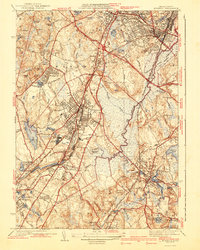 1941 Norwood1941 Print · USGSNorfolk County during the mid-1930s shows a landscape of growing town centers and industrial rail corridors along the Neponset River. Researchers can trace local landmarks like the Sharon Sanitorium, Highland Cem, and the specialized Norfolk County Agricultural Sch.3 unique versions available
 - 1943 Map of Boston
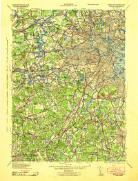 1943 Boston1943 Print · USGSGreater Boston and its southern suburbs appear here during the mobilization of the early 1940s. Genealogists and historians can trace the early footprints of Commonwealth Airport, military sites like Fort Winthrop, and local institutions such as Pondville State Hospital.
 - 1946 Map of Mansfield, 1957 Print
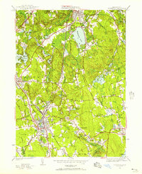 1946 Mansfield1957 Print · USGSSoutheastern Massachusetts enters the post-war era as a thriving network of rail-linked towns and industrial ponds. Researchers can trace family roots through St Marys Cem or locate former local landmarks like Sacred Heart College and the Gun House.2 unique versions available
 - 1946 Map of Norwood, 1958 Print
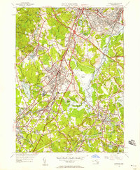 1946 Norwood1958 Print · USGSNorfolk County during the postwar expansion era reveals a landscape shaped by the Neponset River and thriving rail corridors. Researchers can trace the development of local centers like Islington and East Walpole or locate landmarks such as the Norwood Airfield and Colburn Sch.
 - 1947 Map of Norwood
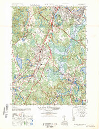 1947 Norwood1947 Print · USGSPost-war Norfolk County centers on the busy rail-and-river corridor of the late forties. Researchers can trace the neighborhood growth of Islington and East Walpole or locate family markers at Fairview Cemetery and Highland Cem.
 - 1948 Map of Boston
 1948 Boston1948 Print · USGSEastern Massachusetts and southern New Hampshire appear at an industrial peak in the late 1940s, just as suburban growth began to accelerate. Genealogists and historians can trace rail lines like the Boston and Albany RR or locate coastal landmarks like Graves Lighthouse and Fort Devens.2 unique versions available
 - 1956 Map of Boston, 1967 Print
 1956 Boston1967 Print · USGSThe Massachusetts coastline and industrial interior are seen here during the mid-century peak of suburban and highway expansion. Researchers can trace historic harbor defenses like Fort Revere, local landmarks such as Faneuil Hall, and the vast Parker River National Wildlife Refuge.6 unique versions available
 - 1958 Map of Boston
 1958 Boston1958 Print · USGSEastern Massachusetts and southern New Hampshire are shown at the height of the industrial era, before the full expansion of the interstate system. Trace coastal defenses at Fort Warren, historic rail lines like the Boston and Maine, and the development of the Mass. 128 corridor.2 unique versions available
 - 1958 Map of Norwood, 1960 Print
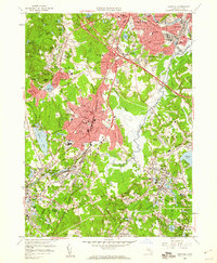 1958 Norwood1960 Print · USGSMid-century Norfolk County comes alive in this survey, showing a landscape defined by suburban growth and the busy Neponset River corridor. Genealogists and local historians can trace family roots through Fairview Cemetery or explore landmarks like the Norwood Memorial Airport and Morrill Mem Library.2 unique versions available
 - 1961 Map of Boston
 1961 Boston1961 Print · USGSThe Massachusetts coastline and its industrial interior are detailed here in the mid-twentieth century, from the Monadnock highlands to Cape Cod. Researchers can trace the rail routes of the Boston and Maine or locate landmarks like Fort Devens and the Wachusett Reservoir.2 unique versions available
 - 1964 Map of Mansfield, 1966 Print
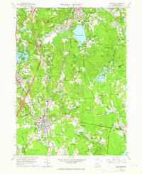 1964 Mansfield1966 Print · USGSSoutheastern Massachusetts in the mid-1960s shows a landscape of historic mill villages and suburban growth along the New York New Haven and Hartford rail line. Researchers can trace local heritage through landmarks like Massapoag Lake, King Philips Rock, and the old postal center at Furnace Village.3 unique versions available
 - 1970 Map of Norwood, 1972 Print
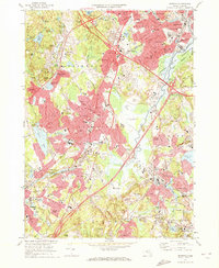 1970 Norwood1972 Print · USGSGreater Norfolk County comes alive in the early seventies, showing a suburban landscape woven together by the Penn Central railroad and the Neponset River. Trace family roots at Old Parish Cem or locate former landmarks like the Norwood Arena and Kendall Whaling Museum.2 unique versions available
 - 1977 Map of Norwood, 1980 Print
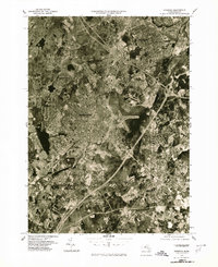 1977 Norwood1980 Print · USGSGreater Boston and the Neponset Valley are captured in high-resolution detail during the late seventies as suburban growth reshaped Norfolk County. Researchers can trace the mid-century footprints of Norwood, Dedham, and the banks of the Neponset River.
 - 1977 Map of Mansfield, 1981 Print
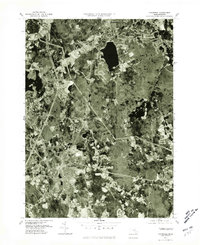 1977 Mansfield1981 Print · USGSIn the late 1970s, the South Shore region was balancing suburban growth with its dense woodlands and waterways. Study the exact 1977 footprints of Mansfield and Sharon, or trace the banks of Massapoag Lake and the Canoe River.
 - 1985 Map of Boston, 1986 Print
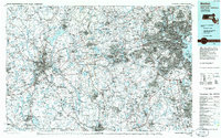 1985 Boston1986 Print · USGSThe Massachusetts urban core and its expanding suburbs are captured in the mid-eighties, showing the reach of the Mass Turnpike and Route 128. Genealogists and historians can trace the evolution of towns from Lexington to Waltham, locating landmarks like Harvard University and Minute Man National Historical Park.
 - 1985 Map of Norwood, 1986 Print
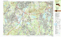 1985 Norwood1986 Print · USGSGreater Boston's southern suburbs and the Blue Hills highlands are captured in detail during the mid-eighties as modern highways and rail lines shaped the region. Genealogists and local historians can trace family plots at Knollwood Memorial Park or locate landmarks like Curry College and the Norwood Memorial Airport.2 unique versions available
 - 1987 Map of Brockton
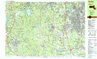 1987 Brockton1987 Print · USGSThe corridor between Brockton and Mansfield is captured here during the late eighties, showing a landscape of growing suburban centers and preserved wetlands. Genealogists and local historians can trace the foundations of Furnace Village, visit Stonehill College, and locate numerous burial grounds like Evergreen Cem.2 unique versions available
 - 1989 Map of Boston
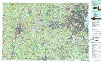 1989 Boston1989 Print · USGSGreater Boston and the central Massachusetts corridor appear here in the late eighties as suburban growth reshaped the region. Genealogists and historians can trace the transit networks between Boston, Worcester, and Quincy, while locating landmarks like Bunker Hill Monument and Wachusett Reservoir.2 unique versions available
 - 2012 Map of Norwood, 2012 Print
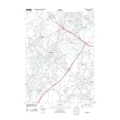 2012 Norwood2012 Print · USGSThe Neponset River valley in the early 21st century remains a complex landscape of historic rail villages and industrial centers. Researchers can trace the development of older neighborhoods like Plimptonville and Ashcroft, or locate landmarks like the Canton Viaduct and Old Parish Cem.
Showing maps 1-25 of 34
Top cities near Sharon
- Boston historical maps
- Brockton historical maps
- Quincy historical maps
- Newton historical maps
- Pawtucket historical maps
- Framingham historical maps
See more
Top neighborhoods of Sharon
Frequently asked questions
- What are the different types of historical maps available for Sharon?
- What is the oldest map of Sharon?
- Where can I purchase historical maps of Sharon for my home or office?
- Where can I download high-res historical maps of Sharon?
- Are there historical topographic maps available for Sharon?
- Is there historical aerial imagery available for Sharon?
- Where are historical maps of Sharon sourced from?