Old Maps of Brockton, Massachusetts for Hiking & Exploration
Hike through history with 50 historic maps of Brockton. Explore old trails, ghost towns, and forgotten backroads — perfect for outdoor adventurers and local explorers.
- Rediscover forgotten places: Map out old mining camps, roads, and footpaths that no longer exist on modern maps.
- Layer with modern tools: Combine with LiDAR or satellite views to plan hikes through historical terrain.
- Made for exploration: Popular among hikers, overlanders, and local history lovers.
Use these maps to find adventure and explore the hidden past of Brockton.
Brockton, MA maps
(50)- 1885 Map of Abington
 1885 Abington1885 Print · USGSCoastal Plymouth County villages and the early rail network are frozen in time just before the turn of the century. Genealogists can trace family footprints from the maritime hubs of Scituate Harbor to inland junctions like Queen Ann Corners and Weymouth Landing.
 - 1886 Map of Dedham
 1886 Dedham1886 Print · USGSNorfolk County and its neighbors are captured here in the late nineteenth century as the rail networks expanded across eastern Massachusetts. Local historians can trace the routes of the Old Colony Railroad and find early village sites like Furnace Village and Sharon Heights.
 - 1888 Map of Abington
 1888 Abington1888 Print · USGSCoastal Plymouth County thrives in the late 1880s as a hub of manufacturing and maritime trade connected by a dense rail network. Genealogists and historians can trace family-named sites like King Oak Hill or industrial landmarks such as the Iron Works and Old Spain.
 - 1893 Map of Abington
 1893 Abington1893 Print · USGSCoastal and inland Massachusetts thrive at the peak of the rail era, where the Old Colony Railroad links maritime harbors to inland factory towns. You can trace 19th-century village life through local landmarks like Weymouth Landing, Queen Ann Corners, and the Old Oaken Bucket Homestead.9 unique versions available
 - 1894 Map of Dedham
 1894 Dedham1894 Print · USGSGreater Boston's southern suburbs emerge during the late nineteenth century as a dense network of railroad lines and water-powered industrial centers. Genealogists and historians can trace old neighborhoods from Readville and Endicott to the heights of Great Blue Hill.10 unique versions available
 - 1919 Map of Dedham
 1919 Dedham1919 Print · USGSNorfolk County at the close of the Great War reveals a landscape defined by the Blue Hills Reservation and a dense network of industrial rail lines. Genealogists and historians can trace old neighborhood boundaries in Readville and Islington or locate lost trackside stops along the Old Colony RR.
 - 1920 Map of Abington
 1920 Abington1920 Print · USGSThe South Shore was a bustling network of rail and industry at the end of the Great War. You can trace the path of the Hanover Branch and Old Colony RR, or find historic sites like the Old Oaken Bucket Homestead and Weymouth Landing.
 - 1936 Map of Whitman
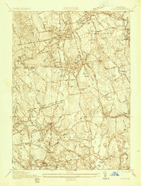 1936 Whitman1936 Print · USGSPlymouth County towns like Whitman and Abington are shown during the mid-1930s as they balanced industrial works with growing residential neighborhoods. Trace local family history through numerous landmarks like St Patricks Cem, Union Cong Ch, and Jones Pond Sch.
 - 1936 Map of Brockton
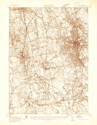 1936 Brockton1936 Print · USGSBrockton and Stoughton are captured here during the mid-1930s, showing a landscape of burgeoning industrial centers and rural family corners. Researchers can trace ancestral roots through dozens of named cemeteries like Washington Cem or locate old industrial sites like Oconnors Cider Mill and the Brockton Filter Beds.
 - 1936 Map of Blue Hills
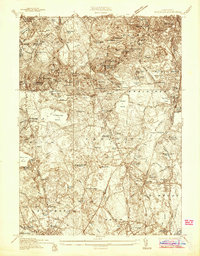 1936 Blue Hills1936 Print · USGSNorfolk County at the height of the Depression reveals a landscape of established academies, hilltop observatories, and early industrial sites. Genealogists and historians can trace family roots through the Blue Hills Cem, Milton Academy, and the American Fireworks Co of Mass.
 - 1941 Map of Whitman
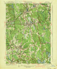 1941 Whitman1941 Print · USGSThe Plymouth County interior is shown in the early 1940s, as traditional rail corridors and cranberry agriculture defined the local economy. Genealogists can locate family landmarks like St James Cem, Beaver Sch, and the Fireworks works near West Hanover.3 unique versions available
 - 1941 Map of Brockton
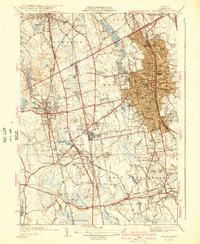 1941 Brockton1941 Print · USGSSoutheastern Massachusetts is captured here in the early 1940s, showing the dense rail-centered growth of the region. Researchers can trace historic family landmarks and institutional sites like the Howard Seminary, St Patrick Cem, and Easton Sta.3 unique versions available
 - 1941 Map of Blue Hills
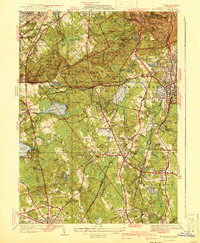 1941 Blue Hills1941 Print · USGSThe Blue Hills south of Boston are shown here at the edge of the pre-war era, before massive highway expansion reshaped Norfolk County. Genealogists and historians can trace the grounds of Thayer Academy, the Blue Hills Cem, and the industrial Fireworks site.4 unique versions available
 - 1943 Map of Boston
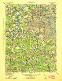 1943 Boston1943 Print · USGSGreater Boston and its southern suburbs appear here during the mobilization of the early 1940s. Genealogists and historians can trace the early footprints of Commonwealth Airport, military sites like Fort Winthrop, and local institutions such as Pondville State Hospital.
 - 1946 Map of Blue Hills, 1958 Print
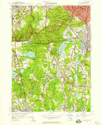 1946 Blue Hills1958 Print · USGSThe Blue Hills and surrounding South Shore towns are shown here in the mid-1940s as suburban growth began to surround the reservation. Researchers can locate family sites and landmarks like the Blue Hill Observatory, Thayer Academy, and St Marys Cem.
 - 1948 Map of Boston
 1948 Boston1948 Print · USGSEastern Massachusetts and southern New Hampshire appear at an industrial peak in the late 1940s, just as suburban growth began to accelerate. Genealogists and historians can trace rail lines like the Boston and Albany RR or locate coastal landmarks like Graves Lighthouse and Fort Devens.2 unique versions available
 - 1948 Map of Whitman, 1957 Print
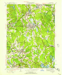 1948 Whitman1957 Print · USGSPost-war Plymouth County comes alive in this survey of a landscape shaped by rail and water. Researchers can trace local roots through St James Cem, find old schoolhouses like Central St Sch, or locate the Fireworks industry near West Hanover.
 - 1949 Map of Brockton, 1958 Print
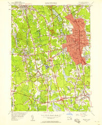 1949 Brockton1958 Print · USGSSoutheast Massachusetts during the post-war boom reveals a landscape of expanding towns and busy rail corridors. Genealogists can trace family roots through numerous burial grounds like Melrose Cem and long-standing institutions such as Stonehill College.
 - 1954 Map of Blue Hills
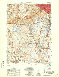 1954 Blue Hills1954 Print · USGSNorfolk County in the mid-1950s reveals a landscape of growing towns and preserved highlands at the edge of the Boston metropolitan area. Genealogists and local historians can trace family plots in Blue Hills Cem or locate historic institutions like Thayer Academy and the Blue Hill Observatory.
 - 1956 Map of Boston, 1967 Print
 1956 Boston1967 Print · USGSThe Massachusetts coastline and industrial interior are seen here during the mid-century peak of suburban and highway expansion. Researchers can trace historic harbor defenses like Fort Revere, local landmarks such as Faneuil Hall, and the vast Parker River National Wildlife Refuge.6 unique versions available
 - 1958 Map of Boston
 1958 Boston1958 Print · USGSEastern Massachusetts and southern New Hampshire are shown at the height of the industrial era, before the full expansion of the interstate system. Trace coastal defenses at Fort Warren, historic rail lines like the Boston and Maine, and the development of the Mass. 128 corridor.2 unique versions available
 - 1958 Map of Blue Hills, 1960 Print
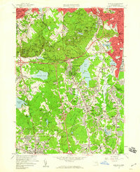 1958 Blue Hills1960 Print · USGSThe Blue Hills area south of Boston was evolving rapidly in the late fifties as new expressways cut through the ancient granite hills. Genealogists and local historians can locate long-standing institutions like Thayer Academy, family plots in Central Cemetery, and industrial landmarks including the Quarries of West Quincy.2 unique versions available
 - 1961 Map of Boston
 1961 Boston1961 Print · USGSThe Massachusetts coastline and its industrial interior are detailed here in the mid-twentieth century, from the Monadnock highlands to Cape Cod. Researchers can trace the rail routes of the Boston and Maine or locate landmarks like Fort Devens and the Wachusett Reservoir.2 unique versions available
 - 1962 Map of Whitman, 1964 Print
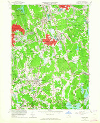 1962 Whitman1964 Print · USGSSoutheastern Massachusetts' shoe-making and cranberry-growing centers are caught in a period of steady suburban growth. Genealogists can trace family plots at St Patricks Cemetery and Colebrook Cemetery or locate early civic landmarks like the Dyer Sch.2 unique versions available
 - 1963 Map of Brockton, 1965 Print
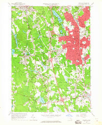 1963 Brockton1965 Print · USGSBrockton and the surrounding Plymouth County townships are shown here during a mid-century period of growth and expansion. Genealogists and local historians can trace family roots through numerous named junctions and sites like Pratts Corner, Easton Sta, and Melrose Cemetery.
Showing maps 1-25 of 50
Top cities near Brockton
- Boston historical maps
- Quincy historical maps
- Newton historical maps
- Brookline historical maps
- Taunton historical maps
- Weymouth historical maps
See more
Top neighborhoods of Brockton
- Brockton Heights historical maps
- Campello historical maps
- Clifton Heights historical maps
- Marshall Corner historical maps
- Montello historical maps
- Winters Corner historical maps
See more
Frequently asked questions
- What are the different types of historical maps available for Brockton?
- What is the oldest map of Brockton?
- Where can I purchase historical maps of Brockton for my home or office?
- Where can I download high-res historical maps of Brockton?
- Are there historical topographic maps available for Brockton?
- Is there historical aerial imagery available for Brockton?
- Where are historical maps of Brockton sourced from?