Old Maps of Hingham, Massachusetts for Genealogy
Trace your family roots with 59 historic maps of Hingham. These high-res maps reveal old neighborhoods, homesites, landmarks, and streets — helping you uncover where your ancestors lived and how the area evolved over time.
- Explore historic neighborhoods: Identify where your relatives may have lived in the 1800s or 1900s.
- Compare maps over time: Trace the changes in streets, buildings, and landmarks for multi-generational research.
- Perfect for genealogy & ancestry research: Used by family historians and researchers to map out lineage and migration.
These maps are an incredible resource for exploring your personal connection to Hingham's past.
Hingham, MA maps
(59)- 1885 Map of Abington
 1885 Abington1885 Print · USGSCoastal Plymouth County villages and the early rail network are frozen in time just before the turn of the century. Genealogists can trace family footprints from the maritime hubs of Scituate Harbor to inland junctions like Queen Ann Corners and Weymouth Landing.
 - 1888 Map of Abington
 1888 Abington1888 Print · USGSCoastal Plymouth County thrives in the late 1880s as a hub of manufacturing and maritime trade connected by a dense rail network. Genealogists and historians can trace family-named sites like King Oak Hill or industrial landmarks such as the Iron Works and Old Spain.
 - 1892 Map of Boston Bay
 1892 Boston Bay1892 Print · USGSThe outer harbor and North Shore coastline are captured in the late Victorian era, before modern development reshaped the beaches and islands. Genealogists and maritime historians can trace the early rail lines to Revere Beach or locate historic defenses like Fort Warren and the iconic Boston Light.4 unique versions available
 - 1893 Map of Abington
 1893 Abington1893 Print · USGSCoastal and inland Massachusetts thrive at the peak of the rail era, where the Old Colony Railroad links maritime harbors to inland factory towns. You can trace 19th-century village life through local landmarks like Weymouth Landing, Queen Ann Corners, and the Old Oaken Bucket Homestead.9 unique versions available
 - 1903 Map of Boston Bay
 1903 Boston Bay1903 Print · USGSThe Massachusetts North and South Shores are seen here at the turn of the century as a hub of rail-connected maritime life. You can trace the path of old rail divisions to historic coastal landings at Point of Pines, Marblehead, and the naval defenses at Ft. Warren.9 unique versions available
 - 1920 Map of Abington
 1920 Abington1920 Print · USGSThe South Shore was a bustling network of rail and industry at the end of the Great War. You can trace the path of the Hanover Branch and Old Colony RR, or find historic sites like the Old Oaken Bucket Homestead and Weymouth Landing.
 - 1936 Map of Weymouth
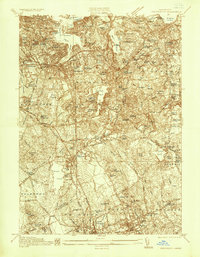 1936 Weymouth1936 Print · USGSThe South Shore's maritime and industrial landscape is on full display in the mid-1930s as the massive Fore River Shipyard dominates the waterfront. Genealogists can trace family roots through several local burial grounds like Highland Cem and landmark institutions including the Derby Academy.
 - 1936 Map of Cohasset
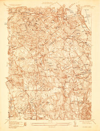 1936 Cohasset1936 Print · USGSThe South Shore's coastal towns and rail connections are captured here in the mid-1930s. Genealogists and historians can trace family-named sites like the Old Oaken Bucket Homestead or locate the Union Mission Chapel and the Curtis School during the railway era.
 - 1936 Map of Nantasket
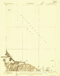 1936 Nantasket1936 Print · USGSThe Massachusetts coastline near Cohasset and Hingham shows a detailed view of beach resorts and rocky harbors in the mid-1930s. Genealogists can trace family footprints around Atlantic, the Damon Sch, and the offshore Minots Ledge Lighthouse.
 - 1941 Map of Weymouth
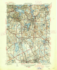 1941 Weymouth1941 Print · USGSThe South Shore and its bustling maritime industry are on full display in the years leading up to the second World War. Genealogists can locate family sites like the Old South Meeting House or trace industrial roots at the Fore River Shipyard and Plymouth Quarries.3 unique versions available
 - 1941 Map of Cohasset
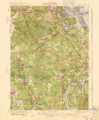 1941 Cohasset1941 Print · USGSCoastal Plymouth County in the mid-1930s reveals a landscape of tidal harbors, granite hills, and rail-side villages. Genealogists and local historians can trace family-named sites like Kings Landing, the Curtis Sch, and the Old Oaken Bucket Homestead Road.3 unique versions available
 - 1941 Map of Nantasket
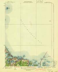 1941 Nantasket1941 Print · USGSCoastal Plymouth County in the years before the war shows a landscape defined by maritime heritage and seaside growth. Researchers can trace the development of Kenberma, locate the old Patriot Sch, and study the offshore positions of The Graves and the Boston Lightship.3 unique versions available
 - 1944 Map of Hull
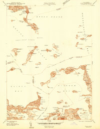 1944 Hull1944 Print · USGSCoastal Massachusetts at the height of the Second World War is captured here through the harbor's intricate islands and shorelines. Genealogists and maritime historians can trace residential roots in Houghs Neck or study military sites like Ft Andrews and Ft Duvall.
 - 1946 Map of Hull
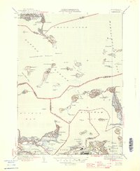 1946 Hull1946 Print · USGSBoston Harbor and the Hull peninsula appear here in the 1940s, revealing a landscape defined by coastal fortifications and seaside neighborhoods. Researchers can trace the military history of Ft Warren and Ft Dawes or find local landmarks like the Long Island Hospital and Boston Light.4 unique versions available
 - 1947 Map of Weymouth, 1958 Print
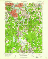 1947 Weymouth1958 Print · USGSThe South Shore of Massachusetts appears here just after the war, showing the industrial and civic heart of Norfolk and Plymouth counties. Researchers can trace family sites at Old North Cem, locate the Plymouth Quarries, or find the historic Old South Meeting House.
 - 1947 Map of Cohasset, 1958 Print
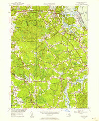 1947 Cohasset1958 Print · USGSThe Massachusetts South Shore is captured here in the late 1940s, balancing its historic seafaring roots with early postwar growth. Researchers can trace family sites from Assinippi to North Scituate, including landmarks like Lawson Tower and the Old Oaken Bucket Homestead.
 - 1948 Map of Boston
 1948 Boston1948 Print · USGSEastern Massachusetts and southern New Hampshire appear at an industrial peak in the late 1940s, just as suburban growth began to accelerate. Genealogists and historians can trace rail lines like the Boston and Albany RR or locate coastal landmarks like Graves Lighthouse and Fort Devens.2 unique versions available
 - 1948 Map of Hull
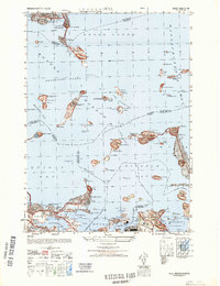 1948 Hull1948 Print · USGSCoastal life and military defenses along the Massachusetts shoreline come into focus in the late 1940s. Genealogists and local historians can locate specific landmarks from the House of Correction to Ft Warren and the residential streets of Houghs Neck.
 - 1949 Map of Nantasket, 1958 Print
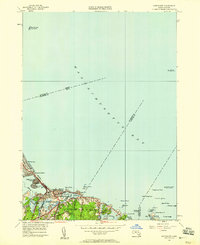 1949 Nantasket1958 Print · USGSThe South Shore at mid-century reveals a blend of coastal leisure and vital maritime safety. Genealogists and historians can trace the residential layouts of Kenberma and North Cohasset or locate the storied Minots Ledge Lighthouse.
 - 1949 Map of Hull, 1958 Print
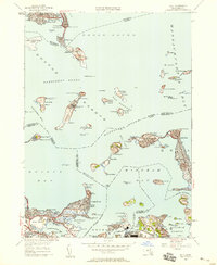 1949 Hull1958 Print · USGSThe islands and peninsulas of Boston Harbor are captured here at mid-century, just as the region transitioned toward modern aviation and utility infrastructure. Genealogists and historians can trace the foundations of Logan International Airport and coastal defenses like Ft Warren and Ft Duvall.
 - 1956 Map of Boston, 1967 Print
 1956 Boston1967 Print · USGSThe Massachusetts coastline and industrial interior are seen here during the mid-century peak of suburban and highway expansion. Researchers can trace historic harbor defenses like Fort Revere, local landmarks such as Faneuil Hall, and the vast Parker River National Wildlife Refuge.6 unique versions available
 - 1958 Map of Boston
 1958 Boston1958 Print · USGSEastern Massachusetts and southern New Hampshire are shown at the height of the industrial era, before the full expansion of the interstate system. Trace coastal defenses at Fort Warren, historic rail lines like the Boston and Maine, and the development of the Mass. 128 corridor.2 unique versions available
 - 1958 Map of Hull, 1959 Print
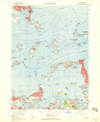 1958 Hull1959 Print · USGSBoston Harbor's outer islands and the narrow Hull peninsula are captured here in the late fifties during a period of active military and institutional use. Researchers can locate coastal batteries at Fort Andrews, trace the neighborhood streets of Adams Shore, or find the Stony Beach Coast Guard Sta.2 unique versions available
 - 1958 Map of Weymouth, 1960 Print
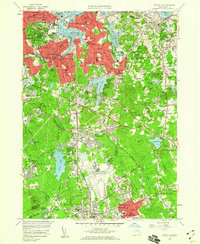 1958 Weymouth1960 Print · USGSCoastal Massachusetts at the end of the fifties shows a landscape of growing suburban centers and significant military installations. Genealogists can trace family locations near Old North Cem, Holy Family Sch, and the South Weymouth Air Station.2 unique versions available
 - 1961 Map of Boston
 1961 Boston1961 Print · USGSThe Massachusetts coastline and its industrial interior are detailed here in the mid-twentieth century, from the Monadnock highlands to Cape Cod. Researchers can trace the rail routes of the Boston and Maine or locate landmarks like Fort Devens and the Wachusett Reservoir.2 unique versions available
Showing maps 1-25 of 59
Top cities near Hingham
- Boston historical maps
- Cambridge historical maps
- Brockton historical maps
- Quincy historical maps
- Lynn historical maps
- Somerville historical maps
See more
Top neighborhoods of Hingham
- Hingham Center historical maps
- Liberty Plain historical maps
- Nantasket Junction historical maps
- South Hingham historical maps
- Tuttleville historical maps
- West Hingham historical maps
See more
Frequently asked questions
- What are the different types of historical maps available for Hingham?
- What is the oldest map of Hingham?
- Where can I purchase historical maps of Hingham for my home or office?
- Where can I download high-res historical maps of Hingham?
- Are there historical topographic maps available for Hingham?
- Is there historical aerial imagery available for Hingham?
- Where are historical maps of Hingham sourced from?