2000s (21st Century) Maps of Norwell, Massachusetts
Explore 15 historic maps of Norwell from the 2000s (21st Century). These maps offer a rare glimpse into what life looked like during the 2000s — showing old roads, neighborhoods, homes, and landmarks that have changed or disappeared over time.
Whether you're researching your family's past, planning a metal detecting trip, or studying how Norwell's landscape evolved across the 2000s, these high-resolution maps are a powerful tool for exploring the history of this region.
- Focus on a specific era: All maps on this page are from the 2000s, giving you a focused view of this time period.
- See what’s changed: Compare century-old streets, trails, and buildings to today's modern landscape using overlays and satellite layers.
- Research with precision: Use these maps for genealogy, historical research, land use analysis, or educational projects.
- View, download, or print: Maps are fully viewable online in high resolution, and can be downloaded or printed for your own records.
Start exploring Norwell's history through authentic maps from the 2000s. This is your window into the past.
Norwell, MA maps
(15)- 2012 Map of Cohasset, 2012 Print
 2012 Cohasset2012 Print · USGSCovers Norwell, including Marshfield, Hingham, and other nearby areas
 - 2012 Map of Hanover, 2012 Print
 2012 Hanover2012 Print · USGSCovers Norwell, including Marshfield, Pembroke, and other nearby areas
 - 2012 Map of Weymouth, 2012 Print
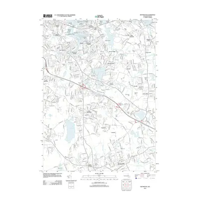 2012 Weymouth2012 Print · USGSCovers Norwell, including Quincy, Weymouth, and other nearby areas
 - 2015 Map of Weymouth, 2015 Print
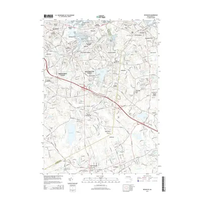 2015 Weymouth2015 Print · USGSCovers Norwell, including Quincy, Weymouth, and other nearby areas
 - 2015 Map of Hanover, 2015 Print
 2015 Hanover2015 Print · USGSCovers Norwell, including Marshfield, Pembroke, and other nearby areas
 - 2015 Map of Cohasset, 2015 Print
 2015 Cohasset2015 Print · USGSCovers Norwell, including Marshfield, Hingham, and other nearby areas
 - 2018 Map of Hanover, 2018 Print
 2018 Hanover2018 Print · USGSCovers Norwell, including Marshfield, Pembroke, and other nearby areas
 - 2018 Map of Weymouth, 2018 Print
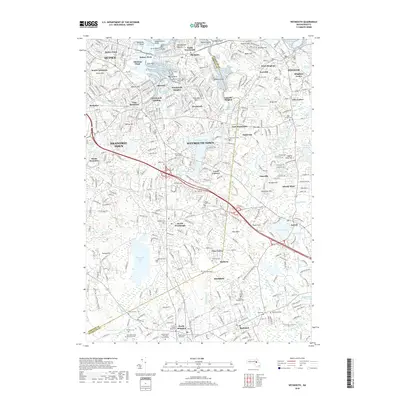 2018 Weymouth2018 Print · USGSCovers Norwell, including Quincy, Weymouth, and other nearby areas
 - 2018 Map of Cohasset, 2018 Print
 2018 Cohasset2018 Print · USGSCovers Norwell, including Marshfield, Hingham, and other nearby areas
 - 2021 Map of Hanover, 2021 Print
 2021 Hanover2021 Print · USGSCovers Norwell, including Marshfield, Pembroke, and other nearby areas
 - 2021 Map of Weymouth, 2021 Print
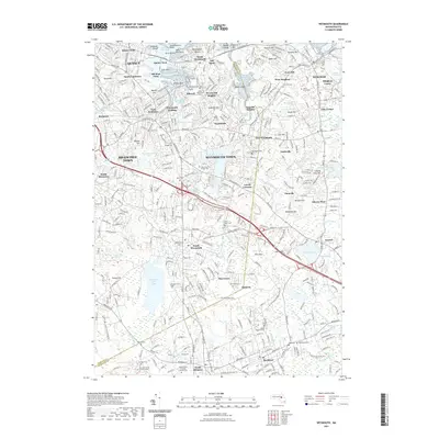 2021 Weymouth2021 Print · USGSCovers Norwell, including Quincy, Weymouth, and other nearby areas
 - 2021 Map of Cohasset, 2021 Print
 2021 Cohasset2021 Print · USGSCovers Norwell, including Marshfield, Hingham, and other nearby areas
 - 2024 Map of Weymouth, 2024 Print
 2024 Weymouth2024 Print · USGSThe South Shore landscape of Weymouth and Hingham is captured here in its modern suburban form, still holding deep roots in its colonial-era burying grounds. Genealogists can trace family history at the Richards Family Burial Ground or Fairmount Cem, while hikers can follow the Hanover Branch Rail-Trl.
 - 2024 Map of Hanover, 2024 Print
 2024 Hanover2024 Print · USGSCoastal Plymouth County villages and their colonial-era burial grounds are meticulously documented in this modern survey. Genealogists can trace family lines through Friends Burying Ground and Ashdod Cem, while collectors will note the locations of Brimstone Corner and Oldham Village.
 - 2024 Map of Cohasset, 2024 Print
 2024 Cohasset2024 Print · USGSThe South Shore of Massachusetts is detailed here as it appears today, spanning from the rocky inlets of Cohasset to the historic inland crossroads of Norwell. Researchers can locate ancestral sites at the Old Oaken Bucket Homestead or trace lineages in Stockbridge Family Cem and Cudworth Cem.
End of results
Showing maps 1-15 of 15
Top cities near Norwell
- Boston historical maps
- Brockton historical maps
- Quincy historical maps
- Plymouth historical maps
- Taunton historical maps
- Weymouth historical maps
See more
Top neighborhoods of Norwell
- Accord historical maps
- Kings Landing historical maps
- Brantwood Manor historical maps
- Jacobs Lake Shores historical maps
- Norwell Homes historical maps
- Assinippi historical maps
See more
Frequently asked questions
- What are the different types of historical maps available for Norwell?
- What is the oldest map of Norwell?
- Where can I purchase historical maps of Norwell for my home or office?
- Where can I download high-res historical maps of Norwell?
- Are there historical topographic maps available for Norwell?
- Is there historical aerial imagery available for Norwell?
- Where are historical maps of Norwell sourced from?