2020s Maps of Mitchell Township, Michigan
Explore 8 historic maps of Mitchell Township from the 2020s. These maps offer a rare glimpse into what life looked like during the 2020s — showing old roads, neighborhoods, homes, and landmarks that have changed or disappeared over time.
Whether you're researching your family's past, planning a metal detecting trip, or studying how Mitchell Township's landscape evolved across the 2020s, these high-resolution maps are a powerful tool for exploring the history of this region.
- Focus on a specific era: All maps on this page are from the 2020s, giving you a focused view of this time period.
- See what’s changed: Compare century-old streets, trails, and buildings to today's modern landscape using overlays and satellite layers.
- Research with precision: Use these maps for genealogy, historical research, land use analysis, or educational projects.
- View, download, or print: Maps are fully viewable online in high resolution, and can be downloaded or printed for your own records.
Start exploring Mitchell Township's history through authentic maps from the 2020s. This is your window into the past.
Mitchell Township, MI maps
(8)- 2023 Map of McCollum Lake, 2023 Print
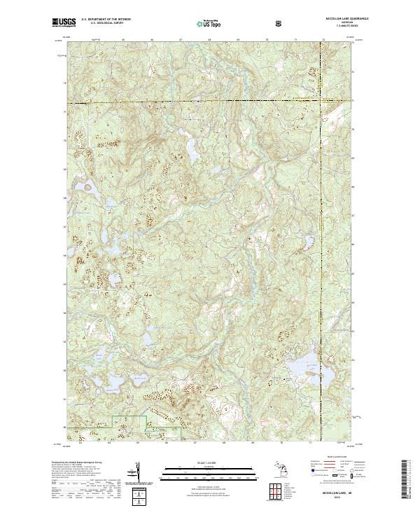 2023 McCollum Lake2023 Print · USGSThe Oscoda and Alcona county borderlands are preserved here in the early twenty-first century as part of the Huron National Forest. Researchers can map the intricate lake-and-river systems surrounding McCollum Lake or locate the historic Mooney Cem.
 - 2023 Map of Hubbard Lake SW, 2023 Print
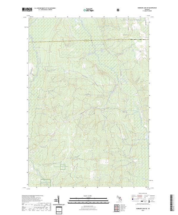 2023 Hubbard Lake SW2023 Print · USGSThe Alpena and Alcona county line in the early 2020s remains a landscape of dense timber and winding waterways. Researchers can trace the modern boundaries of the Huron National Forest and locate specific backcountry routes like Hubbard Lake Trl and Fruchey Ranch Rd.
 - 2023 Map of Bucks Pond, 2023 Print
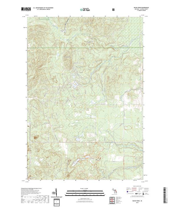 2023 Bucks Pond2023 Print · USGSAlcona County's forested interior is documented here in the early twenty-first century, showing the complex drainage of the Huron National Forest. Researchers can trace the path of Wildcat Creek and the intricate network of forest roads used to manage these northern Michigan timberlands.
 - 2023 Map of Curran, 2023 Print
 2023 Curran2023 Print · USGSAlcona County's forested interior is documented here in the early 2020s, centered on the community of Curran. Genealogists and researchers can trace the Curran Cem and navigate the extensive backcountry path system near Hoist Lakes and the Au Sable Wild and Scenic River.
 - 2023 Map of McGinn Creek, 2023 Print
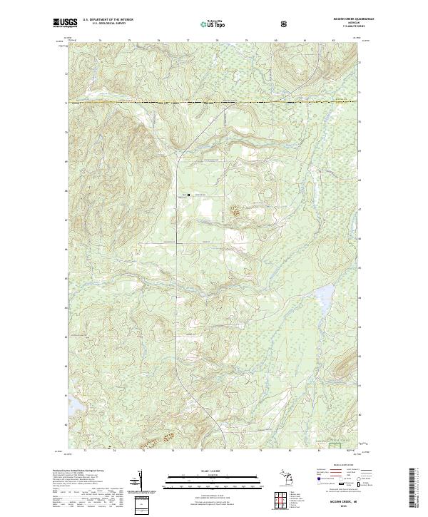 2023 McGinn Creek2023 Print · USGSUpper Michigan's forested borderlands between Alpena and Alcona counties are mapped here in the early 2020s. Researchers can locate the Flynn Valley Cem and trace seasonal waterways like McGinn Creek and Little Wolf Creek through the Huron National Forest.
 - 2023 Map of Alcona Dam Pond, 2023 Print
 2023 Alcona Dam Pond2023 Print · USGSThe Au Sable River corridor in Alcona County remains a secluded landscape of glacial lakes and national forest timberlands. Researchers can locate the Curtisville Cem near the Curtisville settlement or trace backcountry routes like the Mi Shore To Shore Horse&Hike Trl.
 - 2023 Map of Goodar, 2023 Print
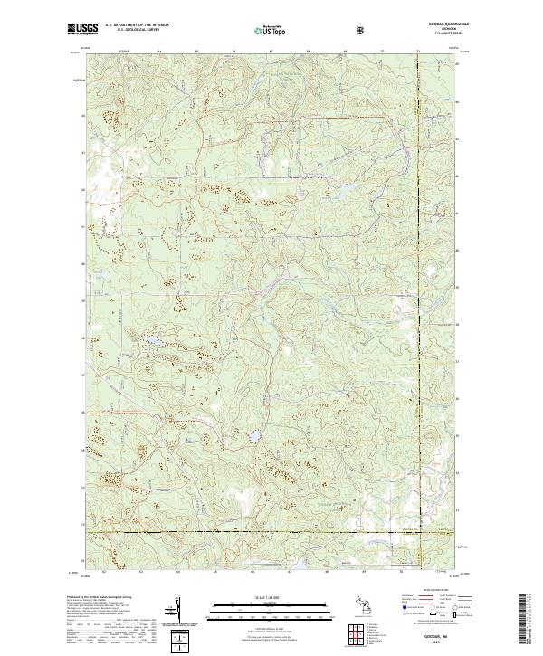 2023 Goodar2023 Print · USGSThe northern Michigan woods at the junction of four counties are revealed here in a modern survey of the Huron National Forest. Local history researchers can trace the routes of Old Baldy Rd and Mack Lake Trl through a landscape of quiet waters like Hughes Lake.
 - 2023 Map of McKinley, 2023 Print
 2023 McKinley2023 Print · USGSThe Oscoda County timberlands and the Au Sable River corridor are documented here in the early twenty-first century. Genealogists and historians can locate the McKinley settlement and McKinley Cem, or trace early transit routes like the Old Hardy Grade.
End of results
Showing maps 1-8 of 8
Top cities near Mitchell Township
Top neighborhoods of Mitchell Township
Frequently asked questions
- What are the different types of historical maps available for Mitchell Township?
- What is the oldest map of Mitchell Township?
- Where can I purchase historical maps of Mitchell Township for my home or office?
- Where can I download high-res historical maps of Mitchell Township?
- Are there historical topographic maps available for Mitchell Township?
- Is there historical aerial imagery available for Mitchell Township?
- Where are historical maps of Mitchell Township sourced from?