Old Maps of Rock River Township, Michigan
Explore 46 old maps of Rock River Township, spanning from 1932 to today. These high-resolution historic maps reveal how streets, neighborhoods, landmarks, and natural features evolved over time — perfect for genealogy, metal detecting, research, and local history exploration.
What you can do with these maps:
- See how Rock River Township changed over time: Compare historical maps to modern-day views to trace roads, homesites, rail lines & more.
- View detailed metadata: Each map includes creators, publishers, year, scale, and archive source.
- Overlay maps with satellite & LiDAR: Visualize the past alongside modern tools to explore terrain & human change.
- Trusted historical sources: Maps sourced from the USGS, Library of Congress, and other archives.
- Access maps your way: View online, download high-res files, or order prints for personal or research use.
Start exploring old maps of Rock River Township to uncover forgotten places, hidden landmarks, and the deep history beneath your feet.
Rock River Township, MI maps
(46)- 1932 Map of Skandia SE
 1932 Skandia SE1932 Print · USGSIn the early 1930s, this pocket of the Upper Peninsula was a landscape of managed forests and timber-connected outposts. Genealogists can locate family sites near Dorsey Sch, the community of Sundell, and the remote Fancetts Camp along the river.
 - 1932 Map of Skandia NE
 1932 Skandia NE1932 Print · USGSThe Upper Peninsula coastline near the border of Marquette and Alger counties is captured here in the early 1930s. Trace the path of the Duluth South Shore and Atlantic railroad as it parallels the Sand River and Lake Superior shoreline.
 - 1958 Map of Au Train, 1959 Print
 1958 Au Train1959 Print · USGSCoastal Alger County in the late fifties shows a landscape of timber and rail along the shores of Lake Superior. Genealogists can trace family roots in settlements like Chatham and Traunik, or locate the Pine Grove Cem and Au Train Falls.3 unique versions available
 - 1958 Map of Skandia, 1959 Print
 1958 Skandia1959 Print · USGSThe Lake Superior coast and Michigan's Upper Peninsula timberlands are captured here in the late fifties. Genealogists and local historians can trace family roots at Skandia Cem and Deerton Cem or locate the old Yalmer Station along the historic rail lines.2 unique versions available
 - 1958 Map of Marquette, 1968 Print
 1958 Marquette1968 Print · USGSThe Upper Peninsula’s central corridor is captured here in the mid-twentieth century as mining and timber industries thrived alongside new military installations. Genealogists and historians can trace the rail lines of the Soo Line Railroad through settlements like Gwinn, Turin, and Chatham.2 unique versions available
 - 1960 Map of Marquette
 1960 Marquette1960 Print · USGSUpper Peninsula mining and maritime commerce reach their peak in the late fifties across the Lake Superior shoreline. Genealogists and historians can locate remote settlements like Big Bay and Dukes, while tracing the Cyr Mine and the active rail lines of the Lake Superior and Ishpeming railroad.
 - 1961 Map of Marquette
 1961 Marquette1961 Print · USGSUpper Peninsula life in the early sixties centered on the iron docks and timber stands of the Lake Superior shore. Genealogists and historians can trace rail-to-port connections via the Lake Superior and Ishpeming Railroad and locate active sites like Republic Mine or the K.I. Sawyer Air Force Base.
 - 1968 Map of Marquette, 1977 Print
 1968 Marquette1977 Print · USGSThe Upper Peninsula iron range and Lake Superior coastline are captured here in the late sixties. Genealogists and historians can trace the rail-to-port infrastructure and the Cold War presence of K I Sawyer Air Force Base alongside towns like Ishpeming and Munising.
 - 1983 Map of Gwinn
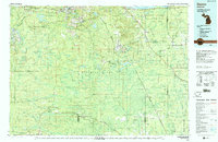 1983 Gwinn1983 Print · USGSThe heart of Michigan's Marquette Iron Range is captured here during the 1980s, when mining and military operations defined the local landscape. Genealogists and industrial historians can trace the tracks of the Chicago and North Western to the National Mine or the airman's life at K I Sawyer Air Force Base.2 unique versions available
 - 1983 Map of Munising
 1983 Munising1983 Print · USGSThe Upper Peninsula lakefront and deep timberlands are documented here in the early eighties, centered on the Munising harbor. Genealogists and historians can trace rail stops along the Soo Line and remote outposts like Shingleton, Eben Junction, and Traunik.2 unique versions available
 - 1985 Map of Chatham
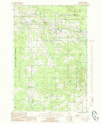 1985 Chatham1985 Print · USGSThe Upper Peninsula during the 1980s reveals a landscape of forestry and small crossroads communities like Chatham and Traunik. Genealogists and local historians can trace family locations near Pine Grove Cem, Eben High Sch, and the remote settlement of Slapneck.
 - 1985 Map of Sand River
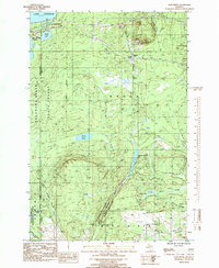 1985 Sand River1985 Print · USGSThe Lake Superior coast and Michigan's North Woods come alive in the mid-eighties as rail and river networks intersect. Researchers can locate the Deerton Cem, trace the Soo Line tracks, or follow the path to the Laughing Whitefish Falls.
 - 1985 Map of Ladoga
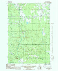 1985 Ladoga1985 Print · USGSIn the mid-1980s, these Alger County timberlands remained a network of state forests and small rail-side settlements. Researchers can trace the legacy of Michigan's logging and transport history via the Old RR Grade and the rural crossroads of Sundell, Ladoga, and Kiva.
 - 1985 Map of Forest Lake
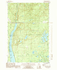 1985 Forest Lake1985 Print · USGSThe northern forests of Alger County are captured here in the mid-1980s as a landscape of timber history and hydroelectric power. Researchers can trace the Old RR Grade through Dixon or locate the Au Train Falls Power Plant and Stillman.
 - 1985 Map of Rock River
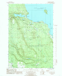 1985 Rock River1985 Print · USGSThe Lake Superior coastline of the Upper Peninsula is documented here during the mid-1980s as industrial sites met the developing national forest. Researchers can trace the Soo Line rail history and locate the Old Charcoal Kilns Ruins or the small settlement of Onota.
 - 1985 Map of Au Train
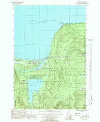 1985 Au Train1985 Print · USGSThe Lake Superior shoreline and the deep woods of the Upper Peninsula meet here in the mid-1980s. Local researchers can trace the roads around Au Train, locate the Au Train Township Cem, and find old crossings like Doucette Bridge.
 - 2011 Map of Au Train, 2011 Print
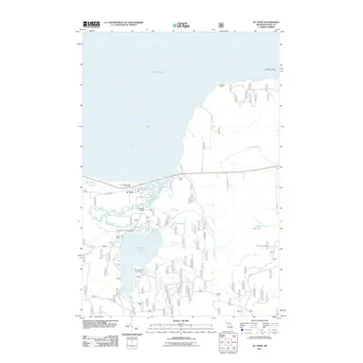 2011 Au Train2011 Print · USGSAu Train and its neighboring waters on the Lake Superior shore are captured here during the early twenty-first century. Genealogists and local historians can locate the Au Train Township Cemetery and trace the river's path past Scott Falls and Doucette Bridge.
 - 2011 Map of Rock River, 2011 Print
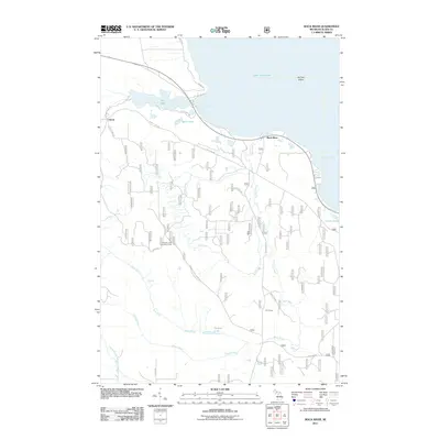 2011 Rock River2011 Print · USGSThe Lake Superior shoreline near Onota and Rock River is captured here during the early twenty-first century. Researchers can locate the Johnson Lake Lookout Tower, the historic CCC Camp, and numerous waterway features like Silver Falls.
 - 2011 Map of Chatham, 2011 Print
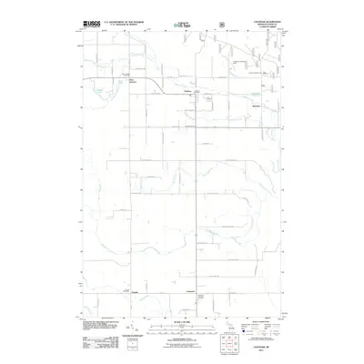 2011 Chatham2011 Print · USGSThe Upper Peninsula communities of Chatham and Eben Junction are captured here in the early 21st century. Researchers can locate civic landmarks and rural sites like the Limestone Township Cemetery, Chatham Hill Ski Area, and the Traunik Post Office.
 - 2011 Map of Sand River, 2011 Print
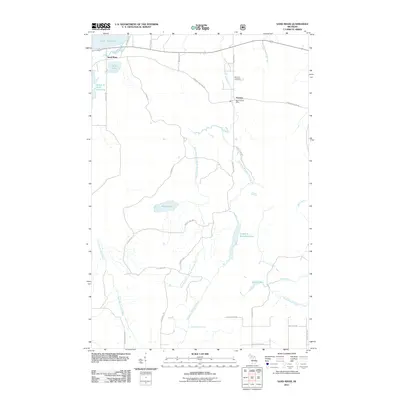 2011 Sand River2011 Print · USGSThe northern shore of Michigan's Upper Peninsula is captured here in the early 21st century, showing the rural landscape around Deerton and Sand River. Researchers can locate the Deerton Cemetery, the Deerton Post Office, and the falls along the Laughing Whitefish River.
 - 2011 Map of Ladoga, 2011 Print
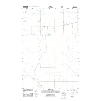 2011 Ladoga2011 Print · USGSMarquette County at the start of the 2010s reveals a landscape shaped by the Whitefish River system and isolated rural settlements. Genealogists can trace family-named roads like Ikkala Rd and locate the small communities of Sundell, Rumely, and Ladoga.
 - 2011 Map of Forest Lake, 2011 Print
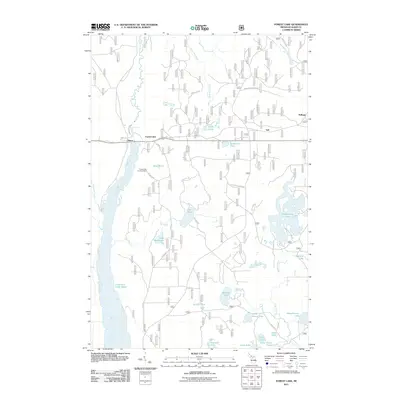 2011 Forest Lake2011 Print · USGSUpper Peninsula timber and water power define this Alger County landscape in the early twenty-first century. Researchers can trace historical sites like the CCC Camp and Stillman, or locate remote landmarks including the Forest Lake Lookout Tower and Au Train Falls.
 - 2014 Map of Forest Lake, 2014 Print
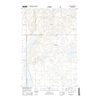 2014 Forest Lake2014 Print · USGSUpper Peninsula timberlands and river systems are shown here in the mid-2010s within the Hiawatha National Forest. Researchers can trace the Au Train River through Dixon or locate the N Country National Scenic Trail as it passes near Forest Lake.
 - 2014 Map of Rock River, 2014 Print
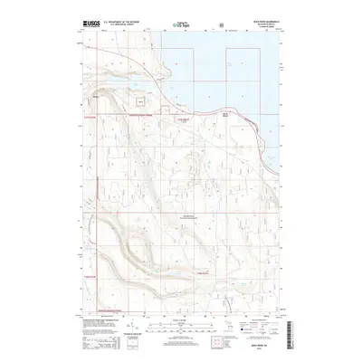 2014 Rock River2014 Print · USGSThe Lake Superior shoreline near Onota and Rock River is shown here as it appeared in the early twenty-first century. Researchers can trace the path of the N Country National Scenic Trail past landmarks like Rock River Falls and Shelter Bay.
 - 2014 Map of Chatham, 2014 Print
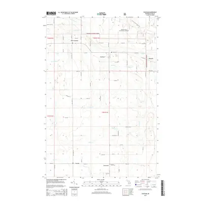 2014 Chatham2014 Print · USGSUpper Peninsula timber and farming country is captured here in the early twenty-first century, spanning several small township settlements. Genealogists can trace family footprints through names like Pine Grove Cem or local routes like Koski Rd and Takkinen Rd.
Showing maps 1-25 of 46
Top cities near Rock River Township
Top neighborhoods of Rock River Township
- Rumely historical maps
- Eben Junction historical maps
- Slapneck historical maps
- Dorsey historical maps
- Sundell historical maps
- Chatham historical maps
Frequently asked questions
- What are the different types of historical maps available for Rock River Township?
- What is the oldest map of Rock River Township?
- Where can I purchase historical maps of Rock River Township for my home or office?
- Where can I download high-res historical maps of Rock River Township?
- Are there historical topographic maps available for Rock River Township?
- Is there historical aerial imagery available for Rock River Township?
- Where are historical maps of Rock River Township sourced from?