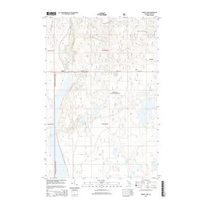
2014 Map of Forest Lake
USGS Topo · Published 2014About this map
Hiawatha National Forest dominates this section of Michigan’s Upper Peninsula, where the Au Train River and Sturgeon River carve through a landscape of dense timber and glacial basins. The settlement of Forest Lake serves as a central point along State Hwy 94, flanked by smaller locales such as Dixon to the west and Vail to the east. The geography is defined by a high density of interior water bodies, from the sprawling Cleveland Cliffs Basin to the smaller Addis Lakes and Lake Seventeen.
Find a feature on this map
34 named features on this map. Tap any name to fly to it.
Don’t see what you’re looking for? This feature index may not catch every label — zoom into the map to look around manually.
Map Details
Editions of this 2014 Forest Lake Map
This is the sole edition of this map. No revisions or reprints were ever made.
Other maps of this area

1958 · Corner Lake
USGS Topo · 1:62,500

1958 · Trenary
USGS Topo · 1:62,500

1958 · Munising
USGS Topo · 1:62,500

1958 · Au Train
USGS Topo · 1:62,500

1958 · Marquette
USGS Topo · 1:250,000

1960 · Marquette
USGS Topo · 1:250,000

1961 · Marquette
USGS Topo · 1:250,000

1968 · Marquette
USGS Topo · 1:250,000

1983 · Munising
USGS Topo · 1:100,000
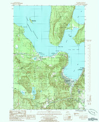
1985 · Munising
USGS Topo · 1:24,000