
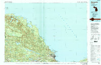
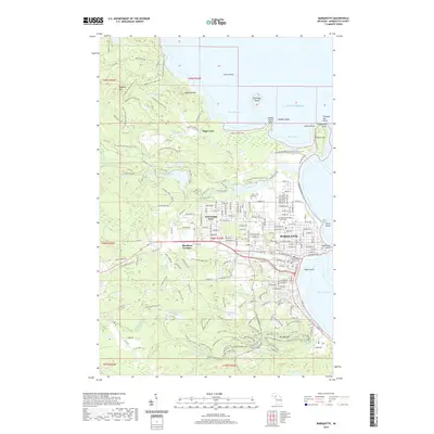
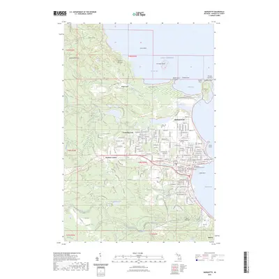
1960 Map of Marquette
USGS Topo · Published 1960About this map
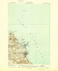
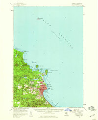
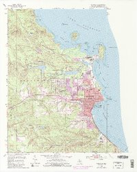
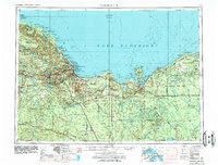
The iron mining heart of Michigan's Upper Peninsula dominates this mid-century survey, centered on the industrial hubs of Ishpeming and Negaunee. The landscape is a complex of resource extraction and conservation, featuring the Cyr Mine (abandoned) alongside the sprawling Michigamme State Forest and Hiawatha National Forest. Along the rugged Lake Superior shoreline, maritime safety is marked by the Huron Island Lighthouse, Big Bay Point Lighthouse, and the Marquette Lighthouse, which guided ore freighters toward the harbor at Marquette.
Find a feature on this map
135 named features on this map. Tap any name to fly to it.
Don’t see what you’re looking for? This feature index may not catch every label — zoom into the map to look around manually.
Map Details
Editions of this 1960 Marquette Map
This is the sole edition of this map. No revisions or reprints were ever made.
Historical Maps of Marquette Through Time
13 maps found
1907 Marquette
Marquette County, MI
1954 Marquette
Marquette County, MI
1954 Marquette
Marquette County, MI
1958 Marquette
Marquette County, MI
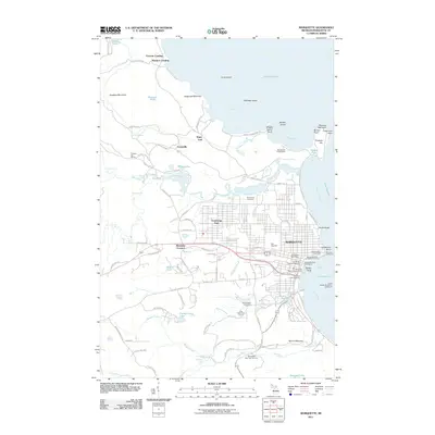
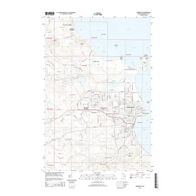
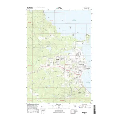
1960 Marquette
Marquette County, MI

1961 Marquette
Marquette County, MI

1968 Marquette
Marquette County, MI
1985 Marquette
Marquette County, MI
2011 Marquette
Marquette County, MI
2014 Marquette
Marquette County, MI
2017 Marquette
Marquette County, MI
2019 Marquette
Marquette County, MI
2023 Marquette
Marquette County, MI