Old Maps of Negaunee, Michigan
Explore 32 old maps of Negaunee, spanning from 1952 to today. These high-resolution historic maps reveal how streets, neighborhoods, landmarks, and natural features evolved over time — perfect for genealogy, metal detecting, research, and local history exploration.
What you can do with these maps:
- See how Negaunee changed over time: Compare historical maps to modern-day views to trace roads, homesites, rail lines & more.
- View detailed metadata: Each map includes creators, publishers, year, scale, and archive source.
- Overlay maps with satellite & LiDAR: Visualize the past alongside modern tools to explore terrain & human change.
- Trusted historical sources: Maps sourced from the USGS, Library of Congress, and other archives.
- Access maps your way: View online, download high-res files, or order prints for personal or research use.
Start exploring old maps of Negaunee to uncover forgotten places, hidden landmarks, and the deep history beneath your feet.
Negaunee, MI maps
(32)- 1952 Map of Ishpeming, 1954 Print
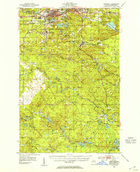 1952 Ishpeming1954 Print · USGSMarquette County’s iron mining heartland is shown in the early fifties, detailing the industrial hubs of Ishpeming and Negaunee. Genealogists and historians can trace rail-side settlements like Frenchtown and Winthrop Junction alongside the Tracy Mine.4 unique versions available
 - 1952 Map of Ishpeming, 1954 Print
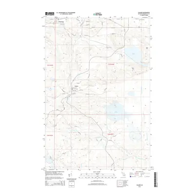
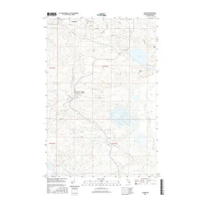
 1952 Ishpeming1954 Print · USGSIshpeming and the Marquette Iron Range were hubs of post-war industrial activity when this survey was conducted. Local historians can trace the intricate rail network at Winthrop Junction or locate family roots near the Tilden Mine and National Mine.4 unique versions available
 - 1952 Map of Palmer, 1954 Print
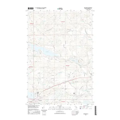
 1952 Palmer1954 Print · USGSThe Marquette Range iron mining industry is in full swing during this mid-century period near Negaunee. Genealogists and industrial historians can trace the foundations of local life through landmarks like the Finnish Ch, the Standard Sch, and the Tracy Mine.4 unique versions available
 - 1953 Map of Negaunee, 1955 Print
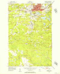
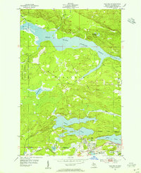
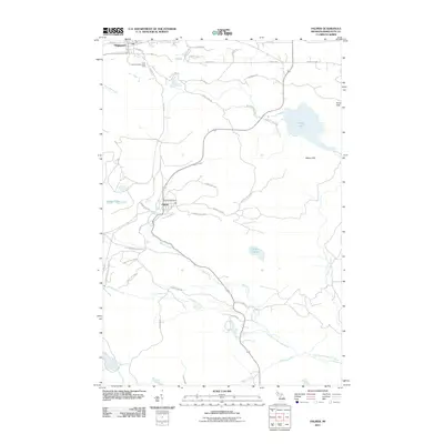
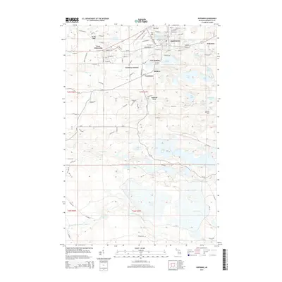
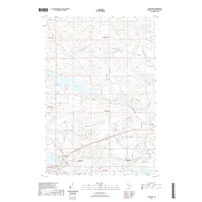
 1953 Negaunee1955 Print · USGSMid-century Marquette County reveals a landscape defined by the iron industry and rail expansion. Genealogists and industrial historians can trace the workings of the Mather Mine B, locate the Negaunee Cemetery, or follow the Lake Superior and Ishpeming railroad.4 unique versions available
 - 1954 Map of Negaunee SW, 1955 Print
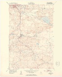
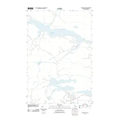
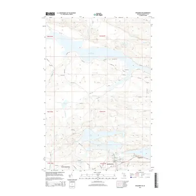
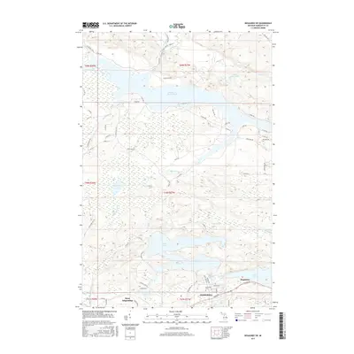
 1954 Negaunee SW1955 Print · USGSThe iron-rich hills of the Marquette Range are shown in the mid-fifties, when mining and rail operations defined local life. Trace the industrial footprint of Morris Mine and Lloyd Mine alongside the sprawling waters of the Dead River Storage Basin.4 unique versions available
 - 1954 Map of Negaunee, 1955 Print
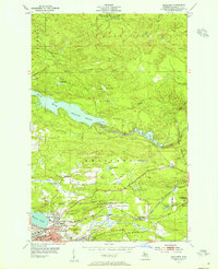
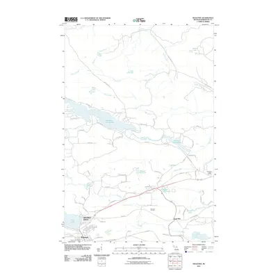
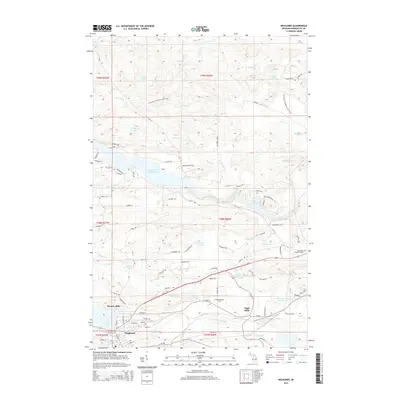
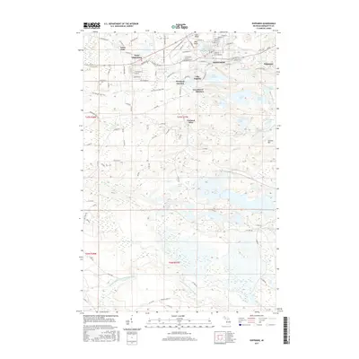
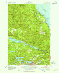 1954 Negaunee1955 Print · USGSIron mining and hydroelectric power define the Marquette Range in the mid-fifties. Genealogists and industrial historians can trace the workings of the Mather Mine A, the Eagle Mills settlement, and the Morgan Heights Sanatorium.3 unique versions available
 - 1958 Map of Marquette, 1968 Print
 1958 Marquette1968 Print · USGSThe Upper Peninsula’s central corridor is captured here in the mid-twentieth century as mining and timber industries thrived alongside new military installations. Genealogists and historians can trace the rail lines of the Soo Line Railroad through settlements like Gwinn, Turin, and Chatham.2 unique versions available
 - 1960 Map of Marquette
 1960 Marquette1960 Print · USGSUpper Peninsula mining and maritime commerce reach their peak in the late fifties across the Lake Superior shoreline. Genealogists and historians can locate remote settlements like Big Bay and Dukes, while tracing the Cyr Mine and the active rail lines of the Lake Superior and Ishpeming railroad.
 - 1961 Map of Marquette
 1961 Marquette1961 Print · USGSUpper Peninsula life in the early sixties centered on the iron docks and timber stands of the Lake Superior shore. Genealogists and historians can trace rail-to-port connections via the Lake Superior and Ishpeming Railroad and locate active sites like Republic Mine or the K.I. Sawyer Air Force Base.
 - 1968 Map of Marquette, 1977 Print
 1968 Marquette1977 Print · USGSThe Upper Peninsula iron range and Lake Superior coastline are captured here in the late sixties. Genealogists and historians can trace the rail-to-port infrastructure and the Cold War presence of K I Sawyer Air Force Base alongside towns like Ishpeming and Munising.
 - 1983 Map of Gwinn
 1983 Gwinn1983 Print · USGSThe heart of Michigan's Marquette Iron Range is captured here during the 1980s, when mining and military operations defined the local landscape. Genealogists and industrial historians can trace the tracks of the Chicago and North Western to the National Mine or the airman's life at K I Sawyer Air Force Base.2 unique versions available
 - 1985 Map of Marquette
 1985 Marquette1985 Print · USGSThe iron mining country of Michigan's Upper Peninsula is shown here during the mid-1980s as industrial transport networks connected the interior to the coast. Researchers can trace historic rail lines like the Soo Line and Ls&I or locate local landmarks like Holy Cross Cem and Northern Michigan University.3 unique versions available
 - 2011 Map of Ishpeming, 2011 Print
 2011 Ishpeming2011 Print · USGSCovers Negaunee, including Ishpeming, Ishpeming Township, and other nearby areas
 - 2011 Map of Palmer, 2011 Print
 2011 Palmer2011 Print · USGSCovers Negaunee, including Palmer, Tilden Township, and other nearby areas
 - 2011 Map of Negaunee SW, 2011 Print
 2011 Negaunee SW2011 Print · USGSCovers Negaunee, including Ishpeming, Ishpeming Township, and other nearby areas
 - 2011 Map of Negaunee, 2011 Print
 2011 Negaunee2011 Print · USGSCovers Negaunee, including Ishpeming Township, Eagle Mills, and other nearby areas
 - 2014 Map of Negaunee, 2014 Print
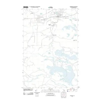
 2014 Negaunee2014 Print · USGSCovers Negaunee, including Ishpeming Township, Eagle Mills, and other nearby areas
 - 2014 Map of Negaunee SW, 2014 Print
 2014 Negaunee SW2014 Print · USGSCovers Negaunee, including Ishpeming, Ishpeming Township, and other nearby areas
 - 2014 Map of Ishpeming, 2014 Print
 2014 Ishpeming2014 Print · USGSCovers Negaunee, including Ishpeming, Ishpeming Township, and other nearby areas
 - 2014 Map of Palmer, 2014 Print
 2014 Palmer2014 Print · USGSCovers Negaunee, including Palmer, Tilden Township, and other nearby areas
 - 2017 Map of Negaunee, 2017 Print
 2017 Negaunee2017 Print · USGSCovers Negaunee, including Ishpeming Township, Eagle Mills, and other nearby areas
 - 2017 Map of Palmer, 2017 Print
 2017 Palmer2017 Print · USGSCovers Negaunee, including Palmer, Tilden Township, and other nearby areas
 - 2017 Map of Negaunee SW, 2017 Print
 2017 Negaunee SW2017 Print · USGSCovers Negaunee, including Ishpeming, Ishpeming Township, and other nearby areas
 - 2017 Map of Ishpeming, 2017 Print
 2017 Ishpeming2017 Print · USGSCovers Negaunee, including Ishpeming, Ishpeming Township, and other nearby areas
 - 2019 Map of Negaunee, 2019 Print
 2019 Negaunee2019 Print · USGSCovers Negaunee, including Ishpeming Township, Eagle Mills, and other nearby areas
Showing maps 1-25 of 32
Top cities near Negaunee
- Marquette historical maps
- Ishpeming historical maps
- Sands historical maps
- Gwinn historical maps
- Trowbridge Park historical maps
- Palmer historical maps
Top neighborhoods of Negaunee
Frequently asked questions
- What are the different types of historical maps available for Negaunee?
- What is the oldest map of Negaunee?
- Where can I purchase historical maps of Negaunee for my home or office?
- Where can I download high-res historical maps of Negaunee?
- Are there historical topographic maps available for Negaunee?
- Is there historical aerial imagery available for Negaunee?
- Where are historical maps of Negaunee sourced from?