
1954 Map of Negaunee SW
USGS Topo · Published 1955About this map
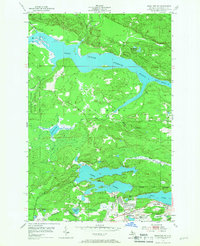
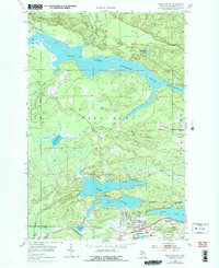
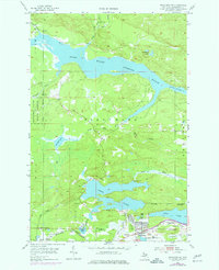
Industrial iron mining and the dense urban layouts of Ishpeming and Negaunee dominate the southern landscape of this mid-century survey. The proximity of residential neighborhoods to major operations like Mather Mine A and the Cambria-Jackson Mine illustrates the direct connection between the local workforce and the Marquette Iron Range's production. In the northern reaches, the geography shifts toward timber and water management within the Escanaba River State Forest, where the sprawling Dead River Storage Basin provides a massive reservoir for regional power and industry. Transportation is strictly defined by the heavy-duty rail infrastructure of the Chicago and North Western and the Lake Superior and Ishpeming railroads, which weave through the city centers to service the mines and the neighboring waters of Teal Lake and Deer Lake.
Find a feature on this map
33 named features on this map. Tap any name to fly to it.
Don’t see what you’re looking for? This feature index may not catch every label — zoom into the map to look around manually.
Map Details
Editions of this 1954 Negaunee SW Map
4 editions found
Other maps of this area

1952 · Ishpeming
USGS Topo · 1:62,500

1952 · Ishpeming
USGS Topo · 1:24,000

1952 · Palmer
USGS Topo · 1:24,000

1953 · Negaunee
USGS Topo · 1:24,000

1954 · Negaunee
USGS Topo · 1:62,500

1955 · Diorite
USGS Topo · 1:24,000

1955 · Greenwood
USGS Topo · 1:24,000

1955 · Republic
USGS Topo · 1:62,500

1955 · Champion
USGS Topo · 1:62,500

1958 · Marquette
USGS Topo · 1:250,000