
1955 Map of Champion
USGS Topo · Published 1957About this map
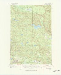
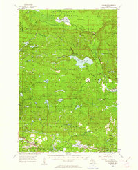
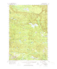
Mining operations and timberlands define this mid-century landscape in the Upper Peninsula, where the Michigan State Forest blankets the northern half of the quadrangle. Industrial activity is concentrated in the southern corridor, marked by several named extraction sites including the Gold Mine, Dexter Mine, and Chase Mine. Further north, the Silver Lead Mine sits near the Silver Lake Basin spillway, highlighting the region's diverse mineral history.
Find a feature on this map
61 named features on this map. Tap any name to fly to it.
Don’t see what you’re looking for? This feature index may not catch every label — zoom into the map to look around manually.
Map Details
Editions of this 1955 Champion Map
4 editions found
Other maps of this area

1899 · Witbeck
USGS Topo · 1:62,500

1952 · Ishpeming
USGS Topo · 1:62,500

1952 · Ishpeming
USGS Topo · 1:24,000

1954 · Negaunee SW
USGS Topo · 1:24,000

1954 · Negaunee
USGS Topo · 1:62,500

1954 · Huron Mountain
USGS Topo · 1:62,500

1954 · Big Bay
USGS Topo · 1:62,500

1954 · Skanee
USGS Topo · 1:62,500

1955 · Champion
USGS Topo · 1:24,000

1955 · Diorite
USGS Topo · 1:24,000