
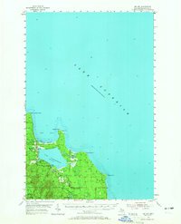
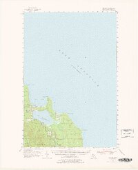
1954 Map of Big Bay
USGS Topo · Published 1956About this map
Big Bay sits on the rocky shores of Lake Superior in the mid-1950s, serving as a focal point for this Marquette County coastal landscape. The map illustrates a transitional period for the area, where the vast wilderness of the Escanaba River State Forest meets the developed shoreline. A notable lighthouse stands at Big Bay Point, marking the entrance to the bay and the sheltered waters of Lake Independence. To the south and west, the terrain rises into the highlands of Powell and Ishpeming, where the Yellow Dog River and Iron River carve through the forest. Small signs of local industry and community life appear through labels for gravel pits, the Community Ch, and Alder Cem, while the settlement of Homer lies further inland along the river network.
Find a feature on this map
21 named features on this map. Tap any name to fly to it.
Don’t see what you’re looking for? This feature index may not catch every label — zoom into the map to look around manually.
Map Details
Editions of this 1954 Big Bay Map
3 editions found
Other maps of this area

1907 · Marquette
USGS Topo · 1:62,500

1953 · Marquette NW
USGS Topo · 1:24,000

1954 · Negaunee
USGS Topo · 1:62,500

1954 · Huron Mountain
USGS Topo · 1:62,500

1954 · Marquette
USGS Topo · 1:62,500

1955 · Champion
USGS Topo · 1:62,500

1958 · Hancock
USGS Topo · 1:250,000

1958 · Marquette
USGS Topo · 1:250,000

1960 · Hancock
USGS Topo · 1:250,000

1960 · Marquette
USGS Topo · 1:250,000