
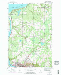
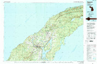
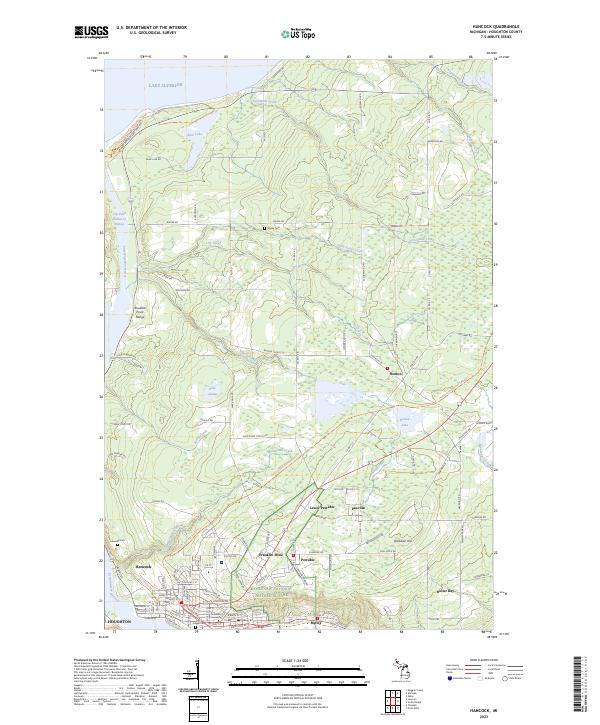
1960 Map of Hancock
USGS Topo · Published 1960About this map
The Keweenaw Peninsula and Isle Royale define this mid-century look at Michigan’s Copper Country. Centered on the industrial and maritime hub of Hancock and Houghton, the map details the infrastructure of the northern woods and the deep waters of Lake Superior. The settlement pattern reflects the area's mining heritage, with towns like Calumet, Laurium, and Lake Linden clustered near the Portage Lake waterway.
Find a feature on this map
116 named features on this map. Tap any name to fly to it.
Don’t see what you’re looking for? This feature index may not catch every label — zoom into the map to look around manually.
Map Details
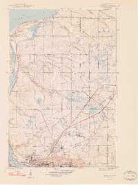
Editions of this 1960 Hancock Map
This is the sole edition of this map. No revisions or reprints were ever made.
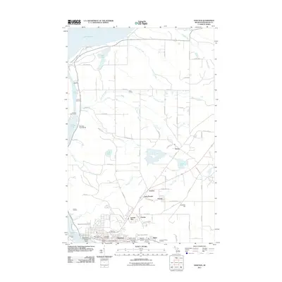
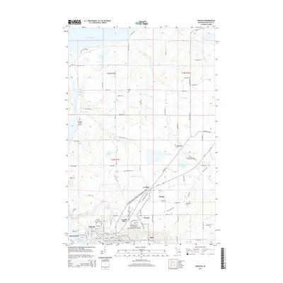
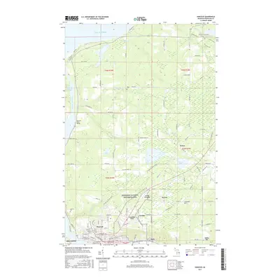
Historical Maps of Houghton Through Time
13 maps found
1946 Hancock
Houghton County, MI
1948 Hancock
Houghton County, MI
1958 Hancock
Houghton County, MI
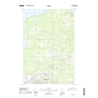
1960 Hancock
Houghton County, MI

1961 Hancock
Houghton County, MI

1966 Hancock
Houghton County, MI
1978 Hancock
Houghton County, MI
1985 Hancock
Houghton County, MI
2011 Hancock
Houghton County, MI
2014 Hancock
Houghton County, MI
2017 Hancock
Houghton County, MI
2019 Hancock
Houghton County, MI
2023 Hancock
Houghton County, MI