
1954 Map of Huron Mountain
USGS Topo · Published 1956About this map
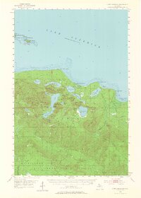
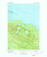
The Huron Mountains dominate this northern Michigan landscape, rising sharply from the southern shore of Lake Superior. Surveyed in the mid-1950s, the terrain is characterized by a complex network of high peaks and secluded inland waters. Notable summits like Mount Benison, Mount Ida, and Mummy Mountain overlook a series of connected basins, including Ives Lake, Pine Lake, and the deep waters of Conway Lake.
Find a feature on this map
65 named features on this map. Tap any name to fly to it.
Don’t see what you’re looking for? This feature index may not catch every label — zoom into the map to look around manually.
Map Details
Editions of this 1954 Huron Mountain Map
3 editions found
Other maps of this area

1954 · Negaunee
USGS Topo · 1:62,500

1954 · Big Bay
USGS Topo · 1:62,500

1954 · Skanee
USGS Topo · 1:62,500

1955 · Champion
USGS Topo · 1:62,500

1956 · Michigamme
USGS Topo · 1:62,500

1958 · Hancock
USGS Topo · 1:250,000

1958 · Marquette
USGS Topo · 1:250,000

1958 · Iron River
USGS Topo · 1:250,000

1960 · Iron River
USGS Topo · 1:250,000

1960 · Hancock
USGS Topo · 1:250,000