
1954 Map of Negaunee
USGS Topo · Published 1955About this map
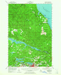
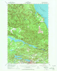
Iron mining operations dominate the landscape around Ishpeming and the Negaunee City Boundary during the mid-1950s. This survey captures a critical era for the Marquette Iron Range, detailing the infrastructure of the Mather Mine A, Mather Mine B, Maas Mine, and Negaunee Mine. The industrial footprint is woven into a complex hydrographic network, where the Dead River Storage Basin and Spillway 1345 manage the waters of the Dead River for power and industry. To the north, the terrain transitions into the Escanaba River State Forest, rising toward Garlic Mountain and the rocky shoreline of Lake Superior at Sauk Head. Transport networks like the Chicago and North Western railroad connect these mineral-rich highlands to the shipping ports, while local landmarks like the Morgan Heights Sanatorium and Kivela Sch serve the growing post-war community.
Find a feature on this map
84 named features on this map. Tap any name to fly to it.
Don’t see what you’re looking for? This feature index may not catch every label — zoom into the map to look around manually.
Map Details
Editions of this 1954 Negaunee Map
Other maps of this area

1907 · Marquette
USGS Topo · 1:62,500

1932 · Harvey NW
USGS Topo · 1:31,680

1952 · Sands
USGS Topo · 1:24,000

1952 · Ishpeming
USGS Topo · 1:62,500

1952 · Ishpeming
USGS Topo · 1:24,000

1952 · Gwinn
USGS Topo · 1:62,500

1952 · Palmer
USGS Topo · 1:24,000

1953 · Marquette NW
USGS Topo · 1:24,000

1953 · Negaunee
USGS Topo · 1:24,000

1954 · Negaunee SW
USGS Topo · 1:24,000