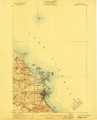
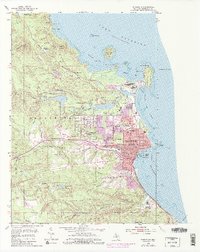
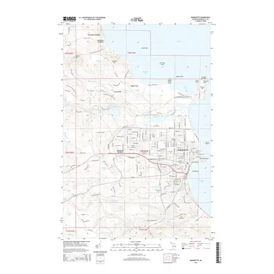
1907 Map of Marquette
USGS Topo · Published 1907About this map
Marquette serves as the industrial and civic anchor of this Lake Superior shoreline, captured here at a time of significant maritime and rail expansion. The city's grid is dense with detail, showing the Cemetery at its western edge and the County House to the south. Further down the coast, the State Prison marks the southern entry to Marquette Bay. The landscape is dominated by the heavy infrastructure of the era, including the Marquette and Southeastern and the Duluth South Shore and Atlantic railroads, which connected the inland mines and forests to the docks at Presque Isle Harbor.
Find a feature on this map
38 named features on this map. Tap any name to fly to it.
Don’t see what you’re looking for? This feature index may not catch every label — zoom into the map to look around manually.
Map Details
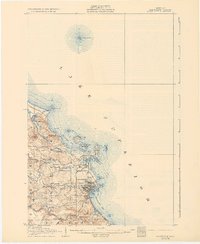
Editions of this 1907 Marquette Map
3 editions found
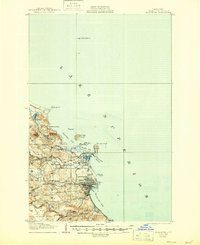
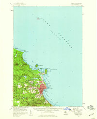
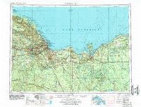
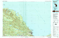
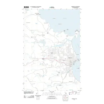
Historical Maps of Marquette Through Time
13 maps found
1907 Marquette
Marquette County, MI
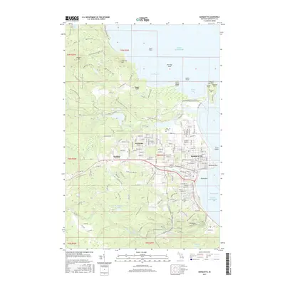
1954 Marquette
Marquette County, MI
1954 Marquette
Marquette County, MI
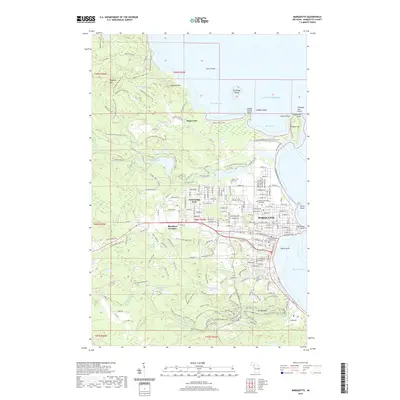
1958 Marquette
Marquette County, MI

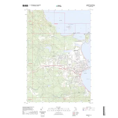
1960 Marquette
Marquette County, MI

1961 Marquette
Marquette County, MI

1968 Marquette
Marquette County, MI
1985 Marquette
Marquette County, MI
2011 Marquette
Marquette County, MI
2014 Marquette
Marquette County, MI
2017 Marquette
Marquette County, MI
2019 Marquette
Marquette County, MI
2023 Marquette
Marquette County, MI
Featured Locations
- Negaunee Township, MI
- Marquette, MI
- Marquette Township, MI
- Brookton Corners, Marquette
- Trowbridge Park, Marquette Township