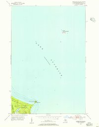
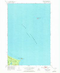
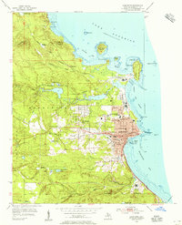
1953 Map of Marquette NW
USGS Topo · Published 1955About this map
Lake Superior dominates this mid-century survey of the coastline north of Marquette, where the cold waters meet the shores of the Escanaba River State Forest. The geography here is defined by sharp transition points from deep water to timbered land, anchored by landmarks like Granite Point and the offshore Granite Island, which is marked by a solitary Light. Moving inland from the rocky coast, the terrain softens around the drainage of Harlow Creek as it flows from Harlow Lake toward the lake. This specific area captures a relatively undeveloped stretch of the Upper Peninsula, showing the interface between state-managed forest lands and the rugged shoreline features like Little Presque Isle. The map provides a clear record of the shoreline depth and coastal navigation points as they existed in the early 1950s.
Find a feature on this map
12 named features on this map. Tap any name to fly to it.
Don’t see what you’re looking for? This feature index may not catch every label — zoom into the map to look around manually.
Map Details
Editions of this 1953 Marquette NW Map
2 editions found
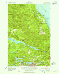
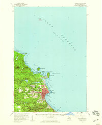
Other maps of this area
1907 · Marquette
USGS Topo · 1:62,500
1953 · Negaunee
USGS Topo · 1:24,000
1954 · Marquette
USGS Topo · 1:24,000
1954 · Negaunee
USGS Topo · 1:62,500
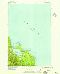
1954 · Big Bay
USGS Topo · 1:62,500
1954 · Marquette
USGS Topo · 1:62,500

1958 · Marquette
USGS Topo · 1:250,000

1960 · Marquette
USGS Topo · 1:250,000

1961 · Marquette
USGS Topo · 1:250,000

1968 · Marquette
USGS Topo · 1:250,000