
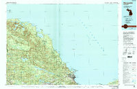
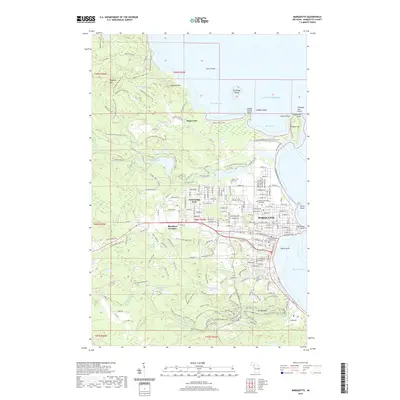
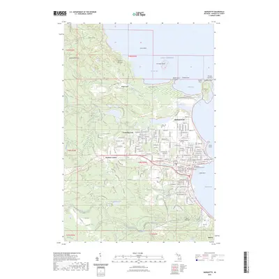
1968 Map of Marquette
USGS Topo · Published 1977About this map
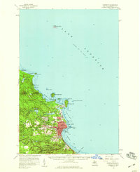
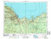
Lake Superior dominates the northern horizon of this mid-century survey, where the rugged iron mining centers of Ishpeming and Negaunee sit inland from the port of Marquette. The industrial character of the Upper Peninsula is evident in the rail network, featuring the Lake Superior and Ishpeming and Chicago and North Western lines connecting the mines to the docks. To the south, the massive footprint of K I Sawyer Air Force Base stands out as a critical Cold War military installation amidst the dense timberlands of the Escanaba River State Forest. The map captures a vast wilderness spanning from the Huron Mountains in the west to the towering sandstone cliffs near Munising and Grand Island in the east. Numerous small logging and farming settlements such as Turin, McFarland, and Eben Junction are scattered through the interior, linked by the Soo Line railroad.
Find a feature on this map
134 named features on this map. Tap any name to fly to it.
Don’t see what you’re looking for? This feature index may not catch every label — zoom into the map to look around manually.
Map Details
Editions of this 1968 Marquette Map
This is the sole edition of this map. No revisions or reprints were ever made.
Historical Maps of Marquette Through Time
13 maps found
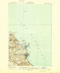
1907 Marquette
Marquette County, MI
1954 Marquette
Marquette County, MI
1954 Marquette
Marquette County, MI
1958 Marquette
Marquette County, MI

1960 Marquette
Marquette County, MI

1961 Marquette
Marquette County, MI
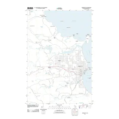
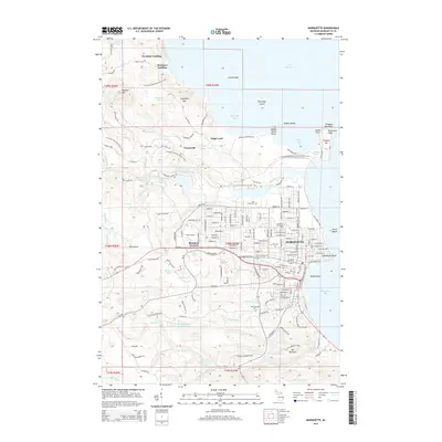
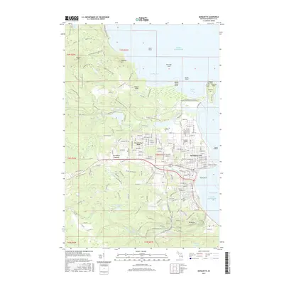
1968 Marquette
Marquette County, MI
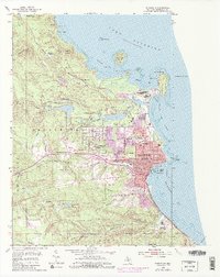
1985 Marquette
Marquette County, MI
2011 Marquette
Marquette County, MI
2014 Marquette
Marquette County, MI
2017 Marquette
Marquette County, MI
2019 Marquette
Marquette County, MI
2023 Marquette
Marquette County, MI