
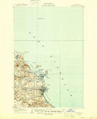
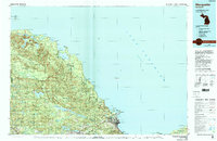
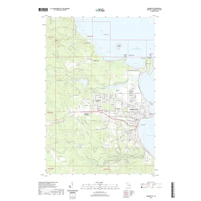
1961 Map of Marquette
USGS Topo · Published 1961About this map
Iron mining and timber dominate this 1961 survey of Michigan's Upper Peninsula, centered on the bustling port of Marquette. The industrial character of the region is evident in the cluster of mining operations around Ishpeming and Negaunee, including the Empire Mine and Republic Mine. These hubs are connected by an intricate web of rail lines such as the Lake Superior and Ishpeming Railroad and the Duluth South Shore and Atlantic Railroad, which were essential for moving ore to the docks on Lake Superior.
Find a feature on this map
115 named features on this map. Tap any name to fly to it.
Don’t see what you’re looking for? This feature index may not catch every label — zoom into the map to look around manually.
Map Details
Editions of this 1961 Marquette Map
This is the sole edition of this map. No revisions or reprints were ever made.
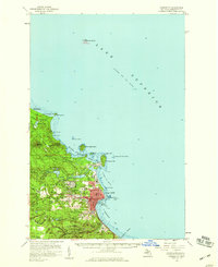
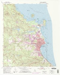
Historical Maps of Marquette Through Time
13 maps found
1907 Marquette
Marquette County, MI
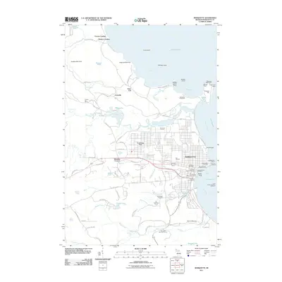
1954 Marquette
Marquette County, MI
1954 Marquette
Marquette County, MI
1958 Marquette
Marquette County, MI

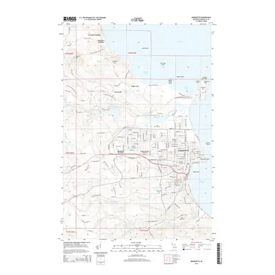
1960 Marquette
Marquette County, MI
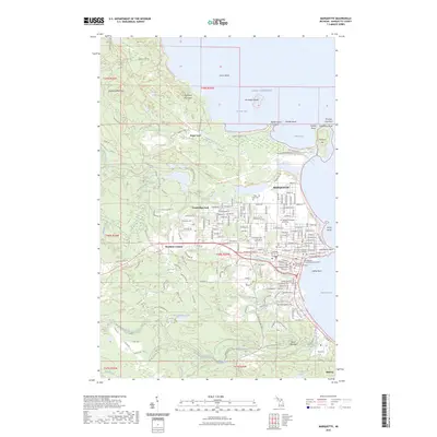
1961 Marquette
Marquette County, MI

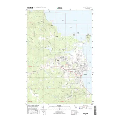
1968 Marquette
Marquette County, MI
1985 Marquette
Marquette County, MI
2011 Marquette
Marquette County, MI
2014 Marquette
Marquette County, MI
2017 Marquette
Marquette County, MI
2019 Marquette
Marquette County, MI
2023 Marquette
Marquette County, MI