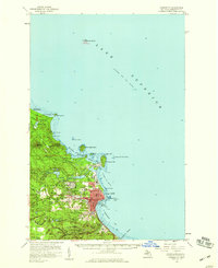
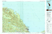
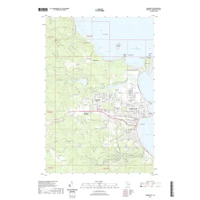
1954 Map of Marquette
USGS Topo · Published 1959About this map
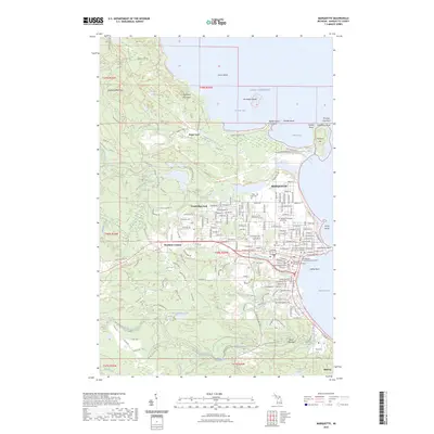
Marquette sits prominently on the shores of Lake Superior, serving as a critical harbor for the Upper Peninsula. The landscape is defined by the industrial and academic growth of the mid-1950s, featuring the campus of Northern Michigan College and the essential corridors of the Duluth South Shore and Atlantic railroad. To the north, Presque Isle and Presque Isle Harbor illustrate the area's maritime reliance, while the city's residential and civic infrastructure includes St Michael Sch, Graveraet High Sch, and Park Cemetery.
Find a feature on this map
58 named features on this map. Tap any name to fly to it.
Don’t see what you’re looking for? This feature index may not catch every label — zoom into the map to look around manually.
Map Details
Editions of this 1954 Marquette Map
This is the sole edition of this map. No revisions or reprints were ever made.
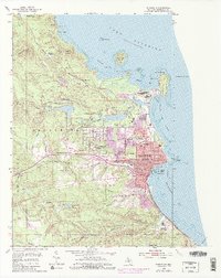
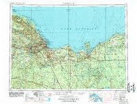
Historical Maps of Marquette Through Time
13 maps found
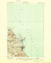
1907 Marquette
Marquette County, MI
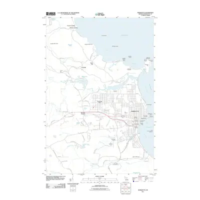
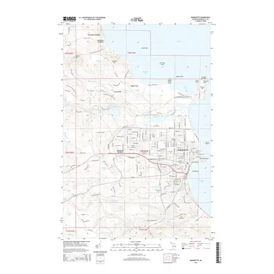
1954 Marquette
Marquette County, MI
1954 Marquette
Marquette County, MI
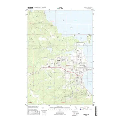
1958 Marquette
Marquette County, MI

1960 Marquette
Marquette County, MI

1961 Marquette
Marquette County, MI

1968 Marquette
Marquette County, MI
1985 Marquette
Marquette County, MI
2011 Marquette
Marquette County, MI
2014 Marquette
Marquette County, MI
2017 Marquette
Marquette County, MI
2019 Marquette
Marquette County, MI
2023 Marquette
Marquette County, MI
Featured Locations
- Negaunee Township, MI
- Marquette, MI
- Marquette Township, MI
- Brookton Corners, Marquette
- Trowbridge Park, Marquette Township