
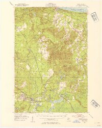
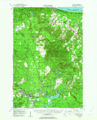
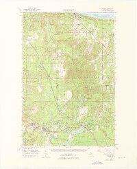
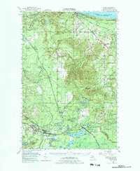
1952 Map of Gwinn
USGS Topo · Published 1954About this map
Iron ore extraction and the Chicago and North Western rail network define this interior section of the Upper Peninsula in the early 1950s. The landscape is dotted with inactive mining operations that once drove the local economy, including the Stephenson Mine, Francis Mine, and multiple shafts near Princeton and Austin. In the southern reaches, the company-built town of Gwinn serves as a hub for the surrounding settlements like New Swanzey and Swanzy. Northward, the terrain transitions toward the shoreline of Lake Superior at Harvey, where the Chocolay River meets the lake. Local infrastructure of the era is preserved in detail, from the Fish Hatchery near Beaver Grove to the early footprint of Sawyer Airport, illustrating the region's post-mining shift toward transportation and conservation.
Find a feature on this map
93 named features on this map. Tap any name to fly to it.
Don’t see what you’re looking for? This feature index may not catch every label — zoom into the map to look around manually.
Map Details
Editions of this 1952 Gwinn Map
5 editions found
Other maps of this area

1907 · Marquette
USGS Topo · 1:62,500

1932 · Skandia SW
USGS Topo · 1:31,680

1932 · Helena NW
USGS Topo · 1:31,680

1932 · Helena NE
USGS Topo · 1:31,680

1932 · Harvey NW
USGS Topo · 1:31,680

1932 · Harvey SE
USGS Topo · 1:31,680

1932 · Harvey SW
USGS Topo · 1:31,680

1932 · Rock NW
USGS Topo · 1:31,680

1932 · Harvey NE
USGS Topo · 1:31,680

1950 · Skandia NW
USGS Topo · 1:31,680