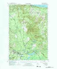
1952 Map of Gwinn
USGS Topo · Published 1983About this map
The iron mining district of the Marquette Range is captured here in the early 1950s, centered on the company-founded town of Gwinn. The southern portion of the map is dense with industrial heritage, documenting the inactive but significant Princeton No 1 Mine, Stephenson Mine, and Jopling Mine that once fueled the local economy. These sites, clustered around Princeton and Austin, reflect a landscape deeply shaped by extraction and rail transport via the Chicago and North Western railroad.
Find a feature on this map
100 named features on this map. Tap any name to fly to it.
Don’t see what you’re looking for? This feature index may not catch every label — zoom into the map to look around manually.
Map Details
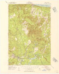
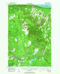
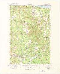
Editions of this 1952 Gwinn Map
5 editions found

Other maps of this area

1907 · Marquette
USGS Topo · 1:62,500

1932 · Skandia SW
USGS Topo · 1:31,680

1932 · Helena NW
USGS Topo · 1:31,680

1932 · Helena NE
USGS Topo · 1:31,680

1932 · Harvey NW
USGS Topo · 1:31,680

1932 · Harvey SE
USGS Topo · 1:31,680

1932 · Harvey SW
USGS Topo · 1:31,680

1932 · Rock NW
USGS Topo · 1:31,680

1932 · Harvey NE
USGS Topo · 1:31,680

1950 · Skandia NW
USGS Topo · 1:31,680