Loading...
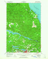
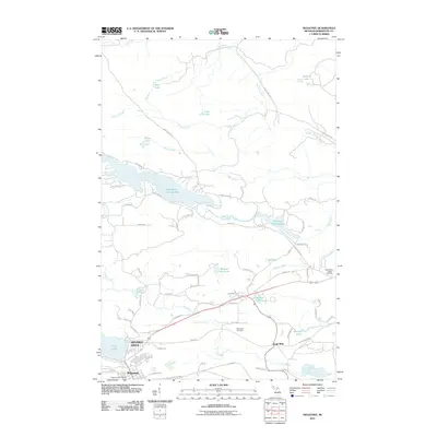
Loading map...1954 Map of Negaunee
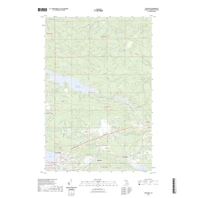
USGS Topo · Published 1965About this map
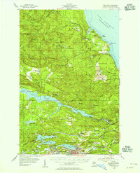
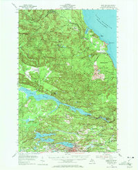
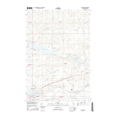
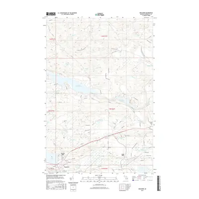
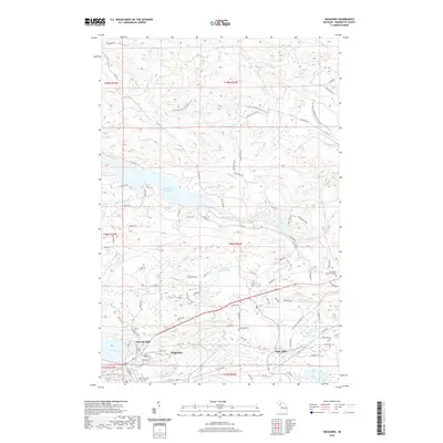
Negaunee and Ishpeming serve as the industrial anchors for this mid-century survey of Michigan's iron-rich Upper Peninsula. The landscape is heavily marked by the region's mining heritage, with major operations like Mather Mine A, Mather Mine B, and the Maas Mine concentrated near the city boundaries. This extraction economy is supported by a dense network of rail lines, including the Chicago and North Western and the Duluth South Shore and Atlantic, which weave through the southern part of the quadrangle.
Find a feature on this map
75 named features on this map. Tap any name to fly to it.
Don’t see what you’re looking for? This feature index may not catch every label — zoom into the map to look around manually.
Map Details
Date Portrayed1954
Date Published1965
PublisherU.S. Geological Survey
Map TypeTopographic
Scale1:62,500
Physical Dimensions17 x 20.9 inches
Editions of this 1954 Negaunee Map
Historical Maps of Ishpeming Through Time
7 maps found
Featured Locations
Source Details
SourceU.S. Geological Survey
CopyrightPublic Domain