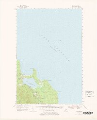
1954 Map of Big Bay
USGS Topo · Published 1978About this map
Big Bay sits on the edge of Lake Superior, serving as a focal point for this mid-century survey of the rugged Marquette County coastline. The settlement is positioned between the vast lake and Lake Independence, where the Yellow Dog River and Iron River converge. The landscape is defined by the transition from water to timberland, much of it protected within the Escanaba River State Forest. Notable landmarks such as the Lighthouse at Big Bay Point and the Bay Cliff Health Camp indicate the area's development as both a maritime navigational hub and a place of respite.
Find a feature on this map
31 named features on this map. Tap any name to fly to it.
Don’t see what you’re looking for? This feature index may not catch every label — zoom into the map to look around manually.
Map Details
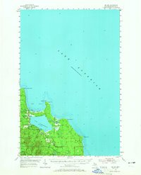
Editions of this 1954 Big Bay Map
3 editions found
Other maps of this area

1907 · Marquette
USGS Topo · 1:62,500

1953 · Marquette NW
USGS Topo · 1:24,000

1954 · Negaunee
USGS Topo · 1:62,500

1954 · Huron Mountain
USGS Topo · 1:62,500

1954 · Big Bay
USGS Topo · 1:62,500

1954 · Marquette
USGS Topo · 1:62,500

1955 · Champion
USGS Topo · 1:62,500

1958 · Hancock
USGS Topo · 1:250,000

1958 · Marquette
USGS Topo · 1:250,000

1960 · Hancock
USGS Topo · 1:250,000