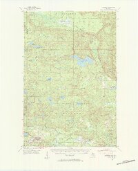
1955 Map of Champion
USGS Topo · Published 1957About this map
Mining operations and timberlands define this landscape in the mid-1950s, stretching across the Baraga Co Marquette Co line. The southern portion of the sheet is dominated by industrial activity, where the Duluth South Shore and Atlantic Railroad and the Chicago and North Western lines serve established settlements like Champion and Diorite. Several named sites such as the Michigan Gold Mine, Blueberry Mine, and Barnes and Hecker Mine point to the region's mineral history.
Find a feature on this map
65 named features on this map. Tap any name to fly to it.
Don’t see what you’re looking for? This feature index may not catch every label — zoom into the map to look around manually.
Map Details
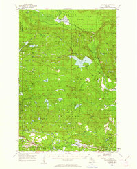
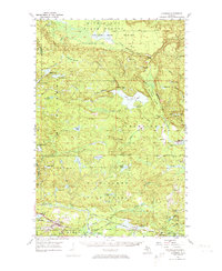
Editions of this 1955 Champion Map
4 editions found

Other maps of this area

1899 · Witbeck
USGS Topo · 1:62,500

1952 · Ishpeming
USGS Topo · 1:62,500

1952 · Ishpeming
USGS Topo · 1:24,000

1954 · Negaunee SW
USGS Topo · 1:24,000

1954 · Negaunee
USGS Topo · 1:62,500

1954 · Huron Mountain
USGS Topo · 1:62,500

1954 · Big Bay
USGS Topo · 1:62,500

1954 · Skanee
USGS Topo · 1:62,500

1955 · Champion
USGS Topo · 1:24,000

1955 · Diorite
USGS Topo · 1:24,000