
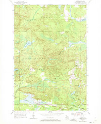
1955 Map of Diorite
USGS Topo · Published 1956About this map
The Michigan State Forest and northern Marquette County iron ranges define this mid-1950s landscape, where industrial extraction and timberlands meet. The settlement of Diorite serves as a small hub along the Chicago and North Western railroad, surrounded by a high density of specialized mining operations. This map documents a significant concentration of mineral history, featuring the American Mine, Blueberry Mine, and the specifically noted Michigan Gold Mine near Gold Mine Lake.
Find a feature on this map
30 named features on this map. Tap any name to fly to it.
Don’t see what you’re looking for? This feature index may not catch every label — zoom into the map to look around manually.
Map Details
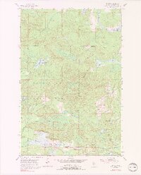
Editions of this 1955 Diorite Map
3 editions found
Other maps of this area

1952 · Ishpeming
USGS Topo · 1:62,500

1952 · Ishpeming
USGS Topo · 1:24,000

1954 · Negaunee SW
USGS Topo · 1:24,000

1954 · Negaunee
USGS Topo · 1:62,500

1955 · Champion
USGS Topo · 1:24,000

1955 · Greenwood
USGS Topo · 1:24,000

1955 · Republic
USGS Topo · 1:62,500

1955 · Republic
USGS Topo · 1:24,000

1955 · Champion
USGS Topo · 1:62,500

1958 · Marquette
USGS Topo · 1:250,000