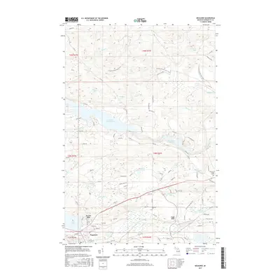
2017 Map of Negaunee
USGS Topo · Published 2017About this map
Negaunee serves as the focal point of this Marquette County survey, showcasing the urban layout and industrial character of this Upper Peninsula mining community. The landscape is defined by its complex water management and natural hydrology, including the Dead River Storage Basin, Teal Lake, and the winding Carp River. Notable features like Baldwin Kiln Lake and Eagle Mills highlight the region's long-standing connection to resource processing and transit.
Find a feature on this map
105 named features on this map. Tap any name to fly to it.
Don’t see what you’re looking for? This feature index may not catch every label — zoom into the map to look around manually.
Map Details
Editions of this 2017 Negaunee Map
This is the sole edition of this map. No revisions or reprints were ever made.
Other maps of this area

1907 · Marquette
USGS Topo · 1:62,500

1932 · Harvey NW
USGS Topo · 1:31,680

1952 · Sands
USGS Topo · 1:24,000

1952 · Ishpeming
USGS Topo · 1:62,500

1952 · Ishpeming
USGS Topo · 1:24,000

1952 · Gwinn
USGS Topo · 1:62,500

1952 · Palmer
USGS Topo · 1:24,000

1953 · Marquette NW
USGS Topo · 1:24,000

1953 · Negaunee
USGS Topo · 1:24,000

1954 · Negaunee SW
USGS Topo · 1:24,000