
1958 Map of Munising
USGS Topo · Published 1959About this map
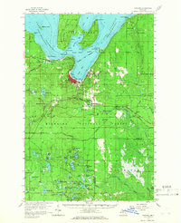
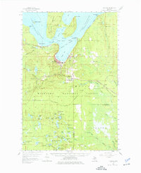
Grand Island dominates the northern portion of this survey, shielding Grand Island Harbor and South Bay from the open waters of Lake Superior. The city of Munising is tucked along the shoreline, serving as a hub for both the local economy and the gateway to the Pictured Rocks shoreline to the east. The landscape transitions from the developed coastal strip at Christmas and Wetmore into the dense timberlands of the Hiawatha National Forest, which is crisscrossed by several rail lines including the Duluth South Shore and Atlantic. Local landmarks like Maple Grove Cem, Hanely Landing Field, and several waterfalls such as Wagner Falls and Miners Falls illustrate a community defined by its natural resources and northern geography.
Find a feature on this map
94 named features on this map. Tap any name to fly to it.
Don’t see what you’re looking for? This feature index may not catch every label — zoom into the map to look around manually.
Map Details
Editions of this 1958 Munising Map
Other maps of this area

1931 · Shingleton SW
USGS Topo · 1:31,680

1931 · Steuben NW
USGS Topo · 1:31,680

1931 · Skeels Lake NE
USGS Topo · 1:31,680

1931 · Munising SE
USGS Topo · 1:31,680

1958 · Corner Lake
USGS Topo · 1:62,500

1958 · Trenary
USGS Topo · 1:62,500

1958 · Au Train
USGS Topo · 1:62,500

1958 · Wood Island
USGS Topo · 1:62,500

1958 · Shingleton
USGS Topo · 1:62,500

1958 · Grand Portal Point
USGS Topo · 1:62,500