
1958 Map of Au Train
USGS Topo · Published 1959About this map
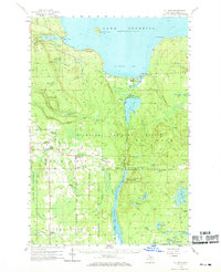
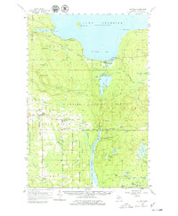
Au Train Bay and the surrounding timberlands of the Hiawatha National Forest define this mid-century survey of the Upper Peninsula. Small settlements like Au Train, Chatham, and Eben Junction are interconnected by the Duluth South Shore and Atlantic railroad, which follows the coastline of Lake Superior. The landscape is a network of water features, from the cascading Rock River Falls and Scott Falls to the sprawling Au Train Lake. Industrial and safety infrastructure is prominent, including the Johnson Lake Lookout Tower and a power plant located near the Au Train Falls. Further south, the map details the rural character of Limestone and Traunik, where the Ecanaba River State Forest begins, showing a region where logging, rail transport, and early tourism at Shelter Bay converged.
Find a feature on this map
78 named features on this map. Tap any name to fly to it.
Don’t see what you’re looking for? This feature index may not catch every label — zoom into the map to look around manually.
Map Details
Editions of this 1958 Au Train Map
Other maps of this area

1932 · Rock NE
USGS Topo · 1:31,680

1932 · Skandia SE
USGS Topo · 1:31,680

1932 · Skandia NE
USGS Topo · 1:31,680

1958 · Corner Lake
USGS Topo · 1:62,500

1958 · Trenary
USGS Topo · 1:62,500

1958 · Munising
USGS Topo · 1:62,500

1958 · Wood Island
USGS Topo · 1:62,500

1958 · Laughing Fish Point
USGS Topo · 1:62,500

1958 · Skandia
USGS Topo · 1:62,500
1958 · Rock
USGS Topo · 1:62,500