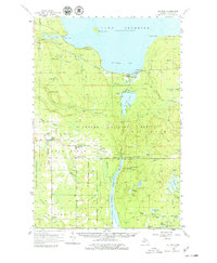
1958 Map of Au Train
USGS Topo · Published 1979About this map
The rugged shoreline of Au Train Bay and the vast timberlands of the Hiawatha National Forest dominate this Upper Peninsula survey. In the late 1950s, the landscape was defined by the intersection of forest industry and rail transportation, with the Duluth South Shore and Atlantic following the Lake Superior coast and the Minneapolis St Paul and Sault Ste Marie cutting through the interior settlements. Small communities like Au Train, Eben Junction, and Chatham served as local hubs, while infrastructure like the Power Plant at Au Train Falls and the Johnson Lake Lookout Tower highlight the management of the region's natural resources. The southern portion of the map shows a transition into the Escanaba River State Forest, where the settlement at Limestone and the Pine Grove Cemetery provide specific points of interest for those tracing family history in Alger County.
Find a feature on this map
73 named features on this map. Tap any name to fly to it.
Don’t see what you’re looking for? This feature index may not catch every label — zoom into the map to look around manually.
Map Details
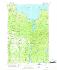
Editions of this 1958 Au Train Map
Other maps of this area

1932 · Rock NE
USGS Topo · 1:31,680

1932 · Skandia SE
USGS Topo · 1:31,680

1932 · Skandia NE
USGS Topo · 1:31,680

1958 · Corner Lake
USGS Topo · 1:62,500

1958 · Trenary
USGS Topo · 1:62,500

1958 · Munising
USGS Topo · 1:62,500

1958 · Au Train
USGS Topo · 1:62,500

1958 · Wood Island
USGS Topo · 1:62,500

1958 · Laughing Fish Point
USGS Topo · 1:62,500

1958 · Skandia
USGS Topo · 1:62,500